Uphill
964m
Length
9km
Duration
6h
Elev gain
964m
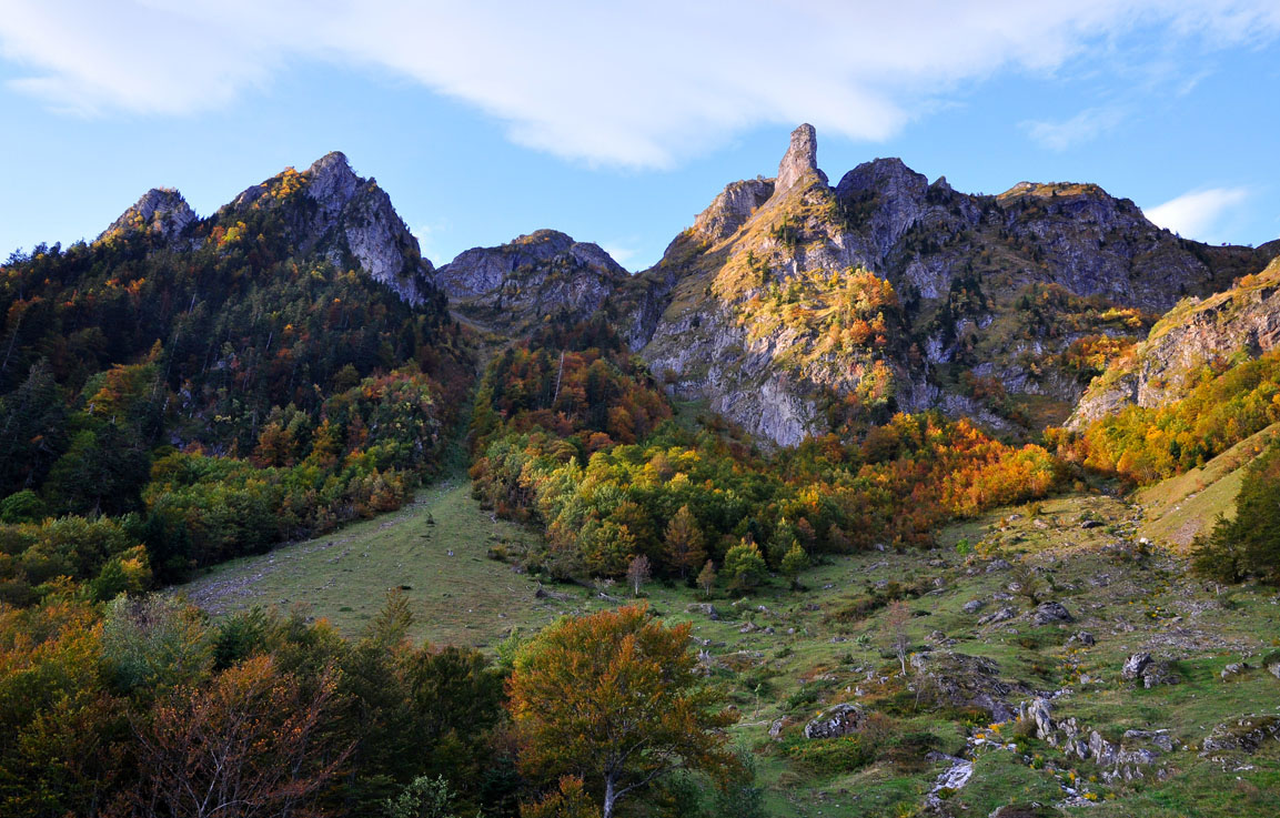
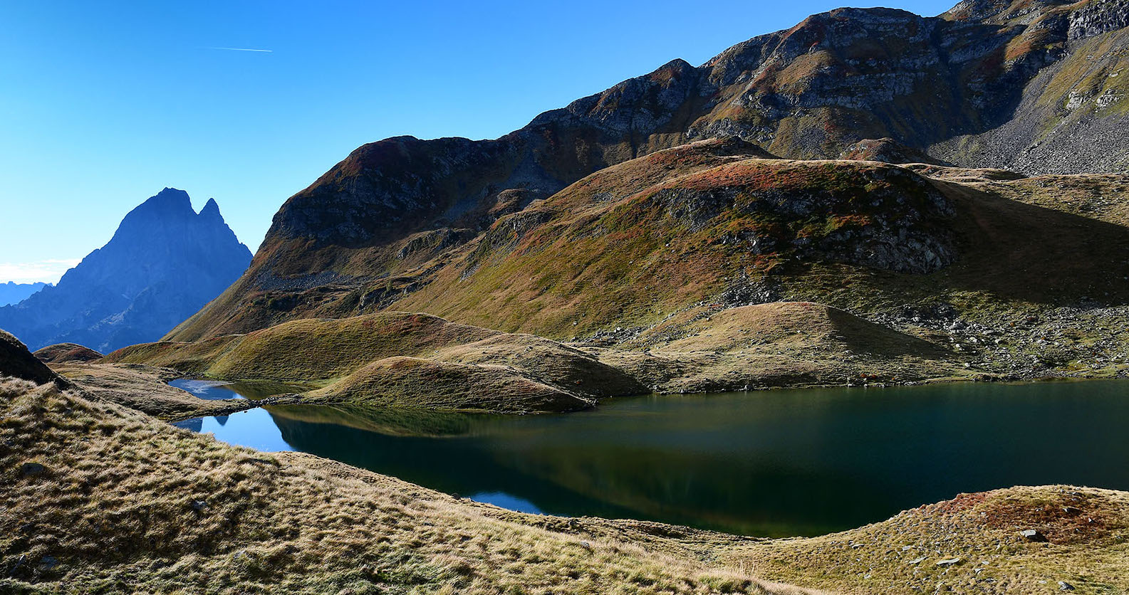
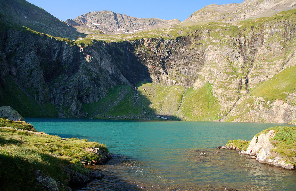
Sporty hike that leads to the pretty mountain lake of Isabe. The trail begins in the forest before being exposed. This is where the hike becomes more demanding, with a steep, shade-free climb.
Once at the top, the view is more than worth the effort.

Already more than 200,000 users!
Uphill
964m
Highest point
1925m
Downhill
964m
Lowest point
982m
Route type
There and back
Download the map on your smartphone to save battery and rest assured to always keep access to the route, even without signal.
Includes IGN France and Swisstopo.
I indicate whether dogs are allowed or prohibited on this trail
From May to October
0 ratings
Also enjoy:

Already more than 200,000 users!