Uphill
1123m
France > Nouvelle-Aquitaine > Pyrénées-Atlantiques > Pyrénées National Park
Length
12km
Duration
7h30min
Elev gain
1123m
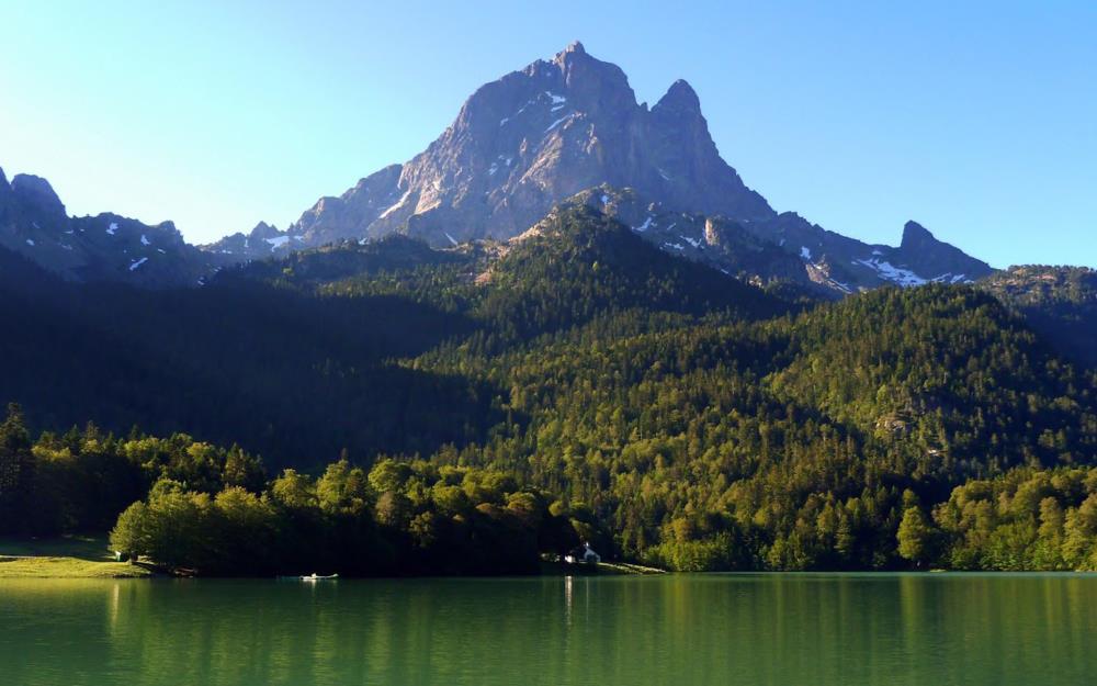
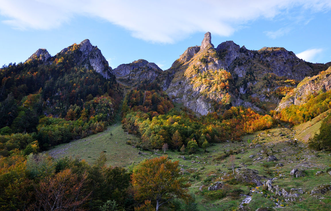
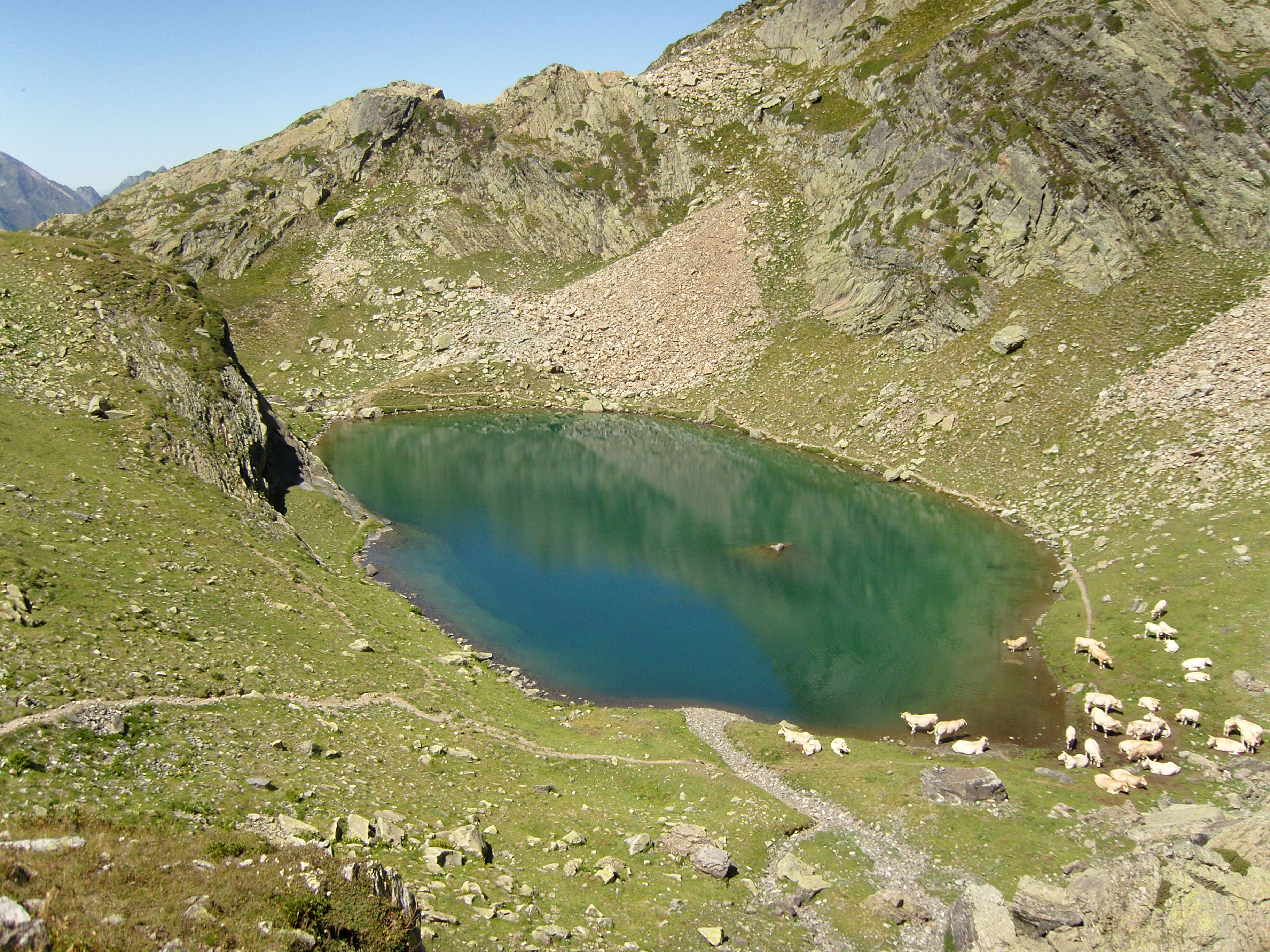
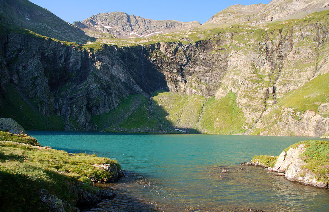
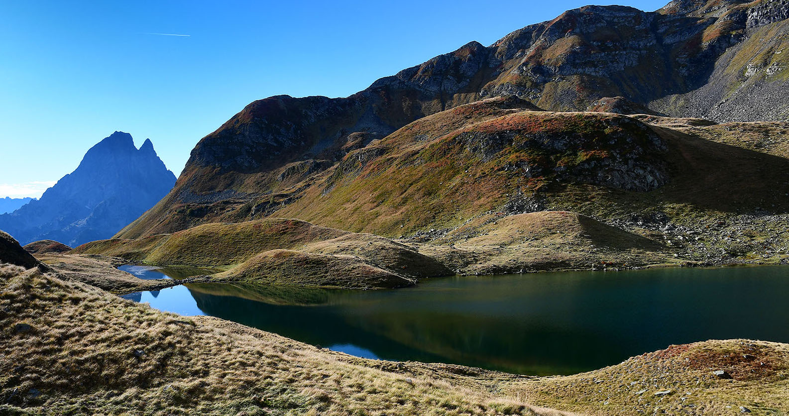
Beautiful hike which starts at the edge of the lake of Bious-Artigues. The path goes up to the turon Garié (2,381m) along a stream and the pretty lake of Aule. It then continues to Soum d'Aas (2,427m) and Pic d'Auliou (2,420m), before descending to the starting point.
The crest offers a superb panorama on both sides.

Already more than 200,000 users!
Uphill
1123m
Highest point
2401m
Downhill
1123m
Lowest point
1305m
Route type
Loop
Download the map on your smartphone to save battery and rest assured to always keep access to the route, even without signal.
Includes IGN France and Swisstopo.
0 ratings
Also enjoy:

Already more than 200,000 users!