Uphill
1924m
Length
21km
Duration
13h
Elev gain
1924m
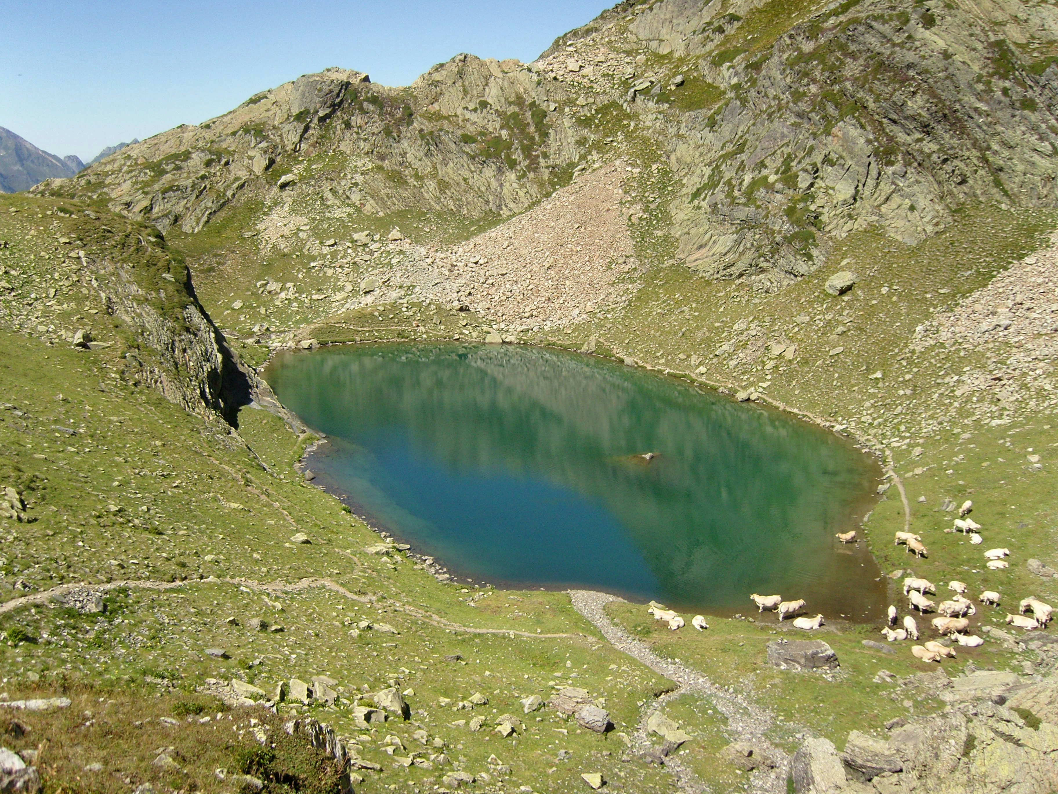
Departing from Lac de Fabrèges, this trail starts off strong with the ascent of Lurien (2,826 m) in the first five kilometres. It continues with a passage to the lakes of Artouste and Arrious, before descending through the valley of the Arrious stream then the Gave de Brousset.
This hike is both long and technically demanding. To be reserved for the most experienced.

Already more than 200,000 users!
Uphill
1924m
Highest point
2698m
Downhill
1924m
Lowest point
1205m
Route type
Loop
Download the map on your smartphone to save battery and rest assured to always keep access to the route, even without signal.
Includes IGN France and Swisstopo.
I indicate whether dogs are allowed or prohibited on this trail
From June to September
0 ratings
Also enjoy:

Already more than 200,000 users!


