Uphill
1283m
France > Nouvelle-Aquitaine > Pyrénées-Atlantiques > Pyrénées National Park
Length
14km
Duration
8h30min
Elev gain
1283m
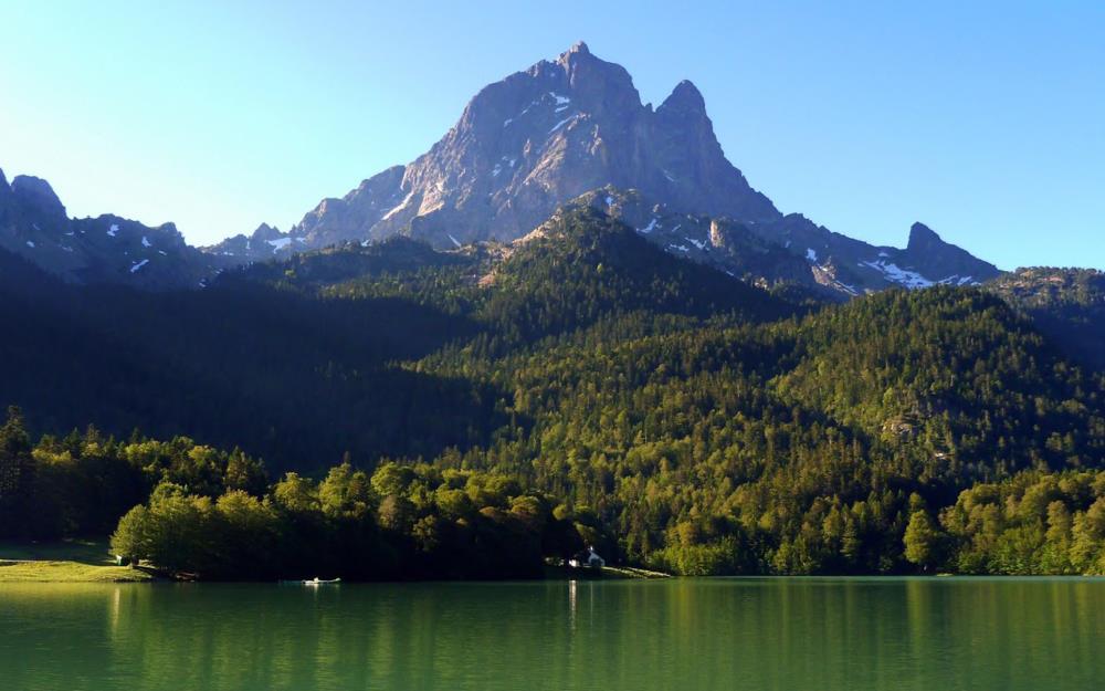
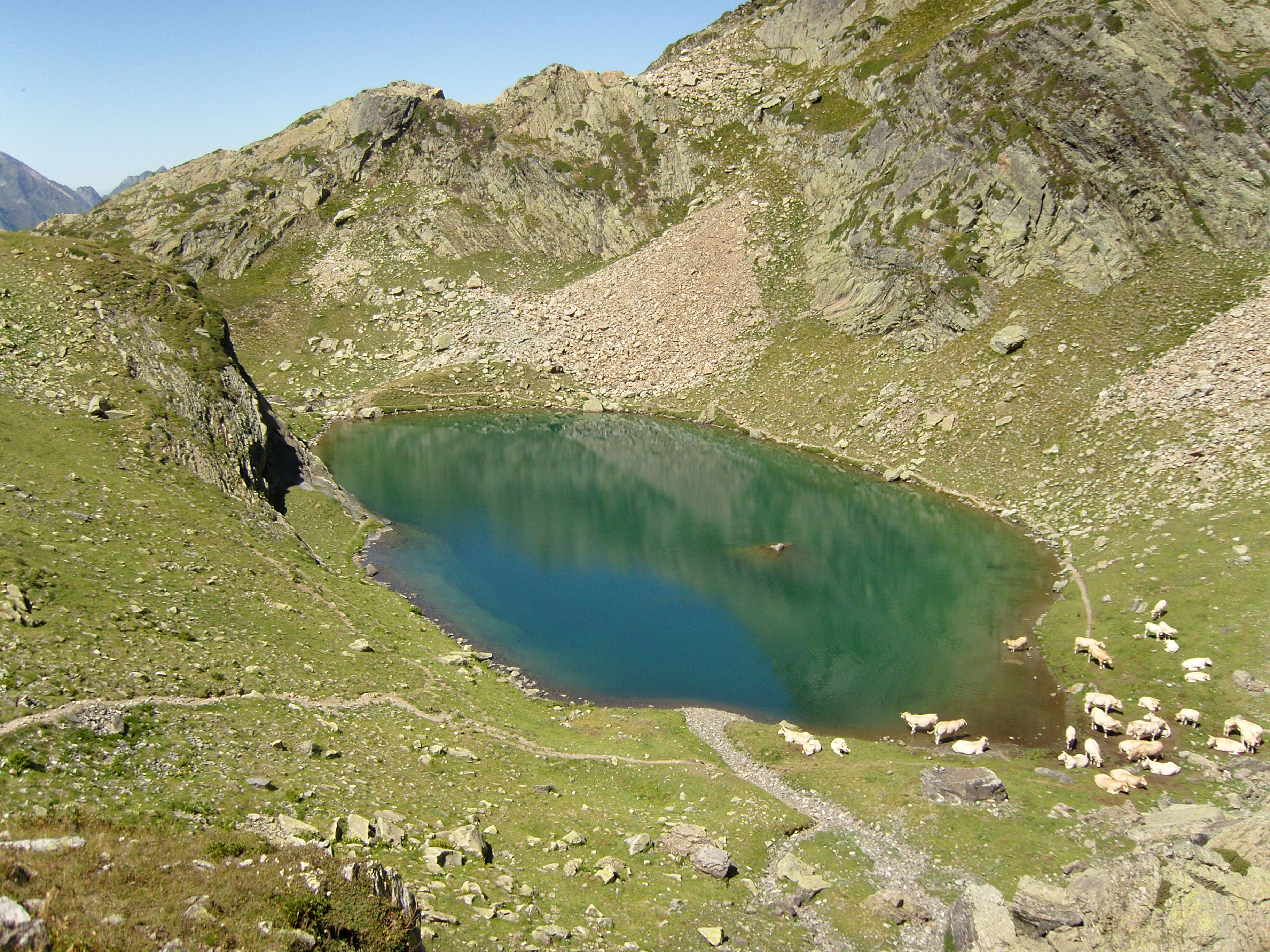
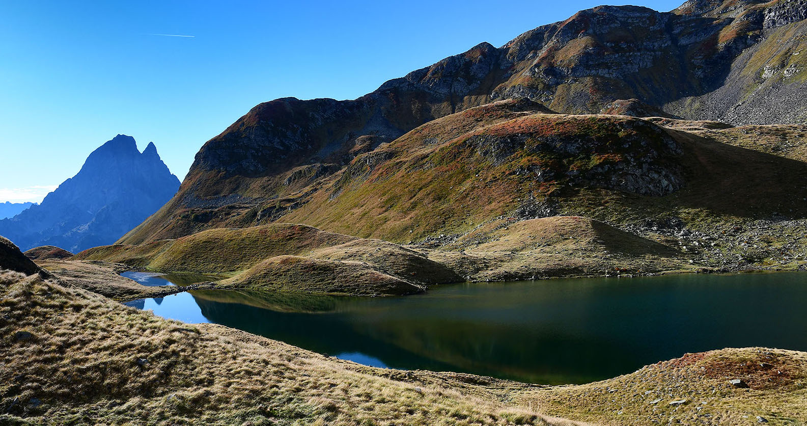
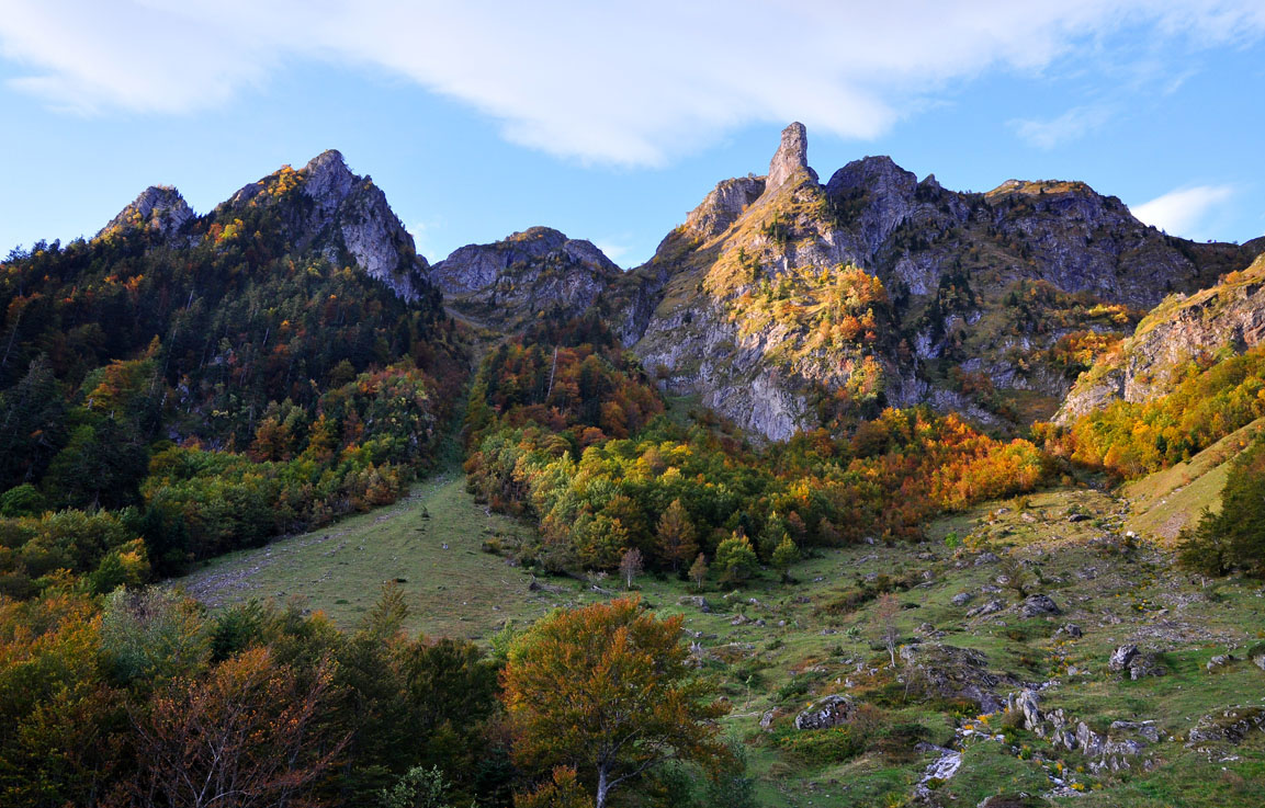
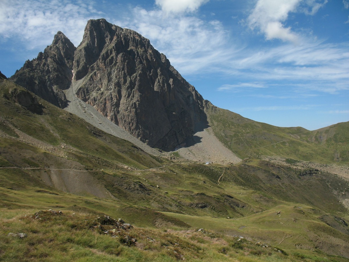
Very close to the Spanish border, this hike leads to the Pic du Midi d'Ossau, at an altitude of 2,884 metres. The path crosses the Gave du Brousset before coming out at the refuge of Pombie and its lake.
The ascent continues and passes through the Col de Suzon to finally arrive at the Pic du Midi d'Ossau. The return is via the Col de Peyreget before descending to the starting point. A magnificent hike in an idyllic setting.

Already more than 200,000 users!
Uphill
1283m
Highest point
2784m
Downhill
1283m
Lowest point
1712m
Route type
Loop
Download the map on your smartphone to save battery and rest assured to always keep access to the route, even without signal.
Includes IGN France and Swisstopo.
1 rating
Also enjoy:

Already more than 200,000 users!