Uphill
124m
Length
11km
Duration
3h
Elev gain
124m
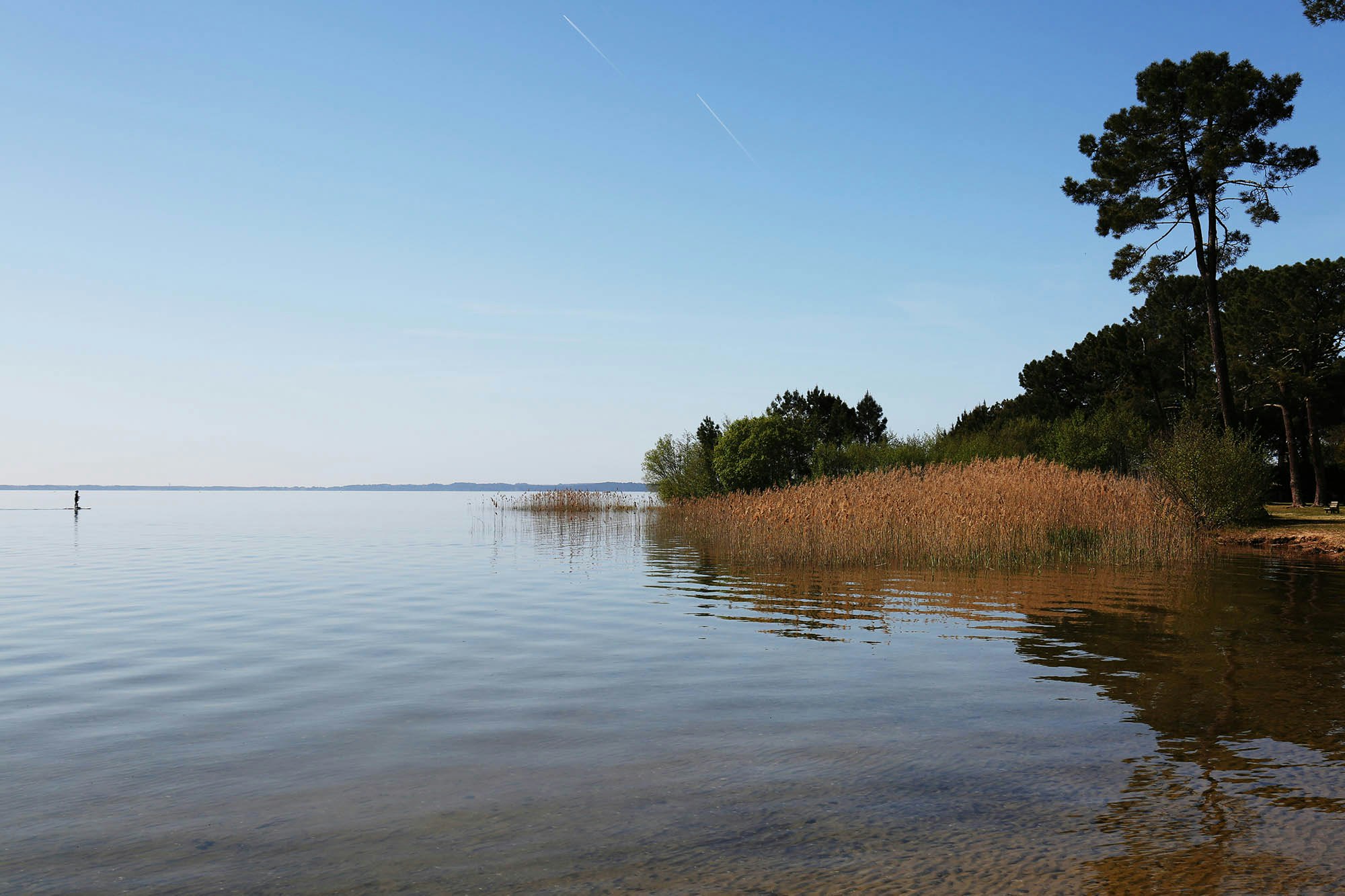
Family-friendly hike near Sanguinet, on the edge of the Cazaux-Sanguinet lake. The path alternates between forest and small beaches for a soothing outing.

Already more than 200,000 users!
Uphill
124m
Highest point
49m
Downhill
124m
Lowest point
15m
Route type
Loop
Download the map on your smartphone to save battery and rest assured to always keep access to the route, even without signal.
Includes IGN France and Swisstopo.
I indicate whether dogs are allowed or prohibited on this trail
All year
2 ratings
Also enjoy:

Already more than 200,000 users!


