Uphill
448m
France > Nouvelle-Aquitaine > Landes
Length
24km
Duration
7h
Elev gain
448m
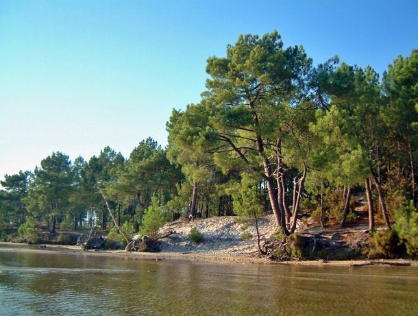
Long hike from Biscarrosse Plage, which goes along the shore of Lake Cazaux-Sanguinet. No particular difficulty, except the length.

Already more than 200,000 users!
Uphill
448m
Highest point
91m
Downhill
448m
Lowest point
9m
Route type
Loop
Download the map on your smartphone to save battery and rest assured to always keep access to the route, even without signal.
Includes IGN France and Swisstopo.
I indicate whether dogs are allowed or prohibited on this trail
All year
1 rating
Pas terrible du tout, sentiers inexistants, peu de diversité…
Also enjoy:

Already more than 200,000 users!


