Uphill
0m
Length
6km
Duration
1h30min
Elev gain
0m
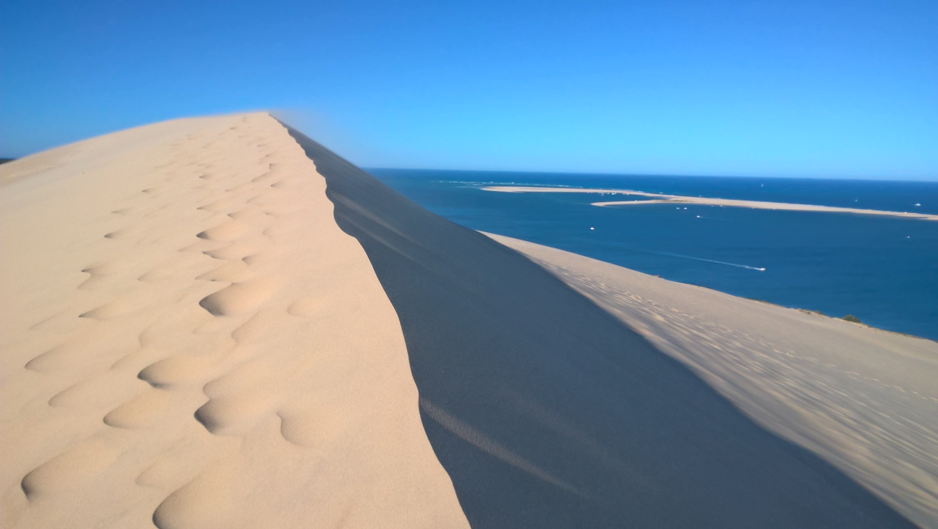
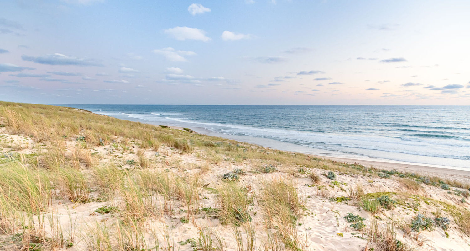
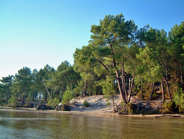
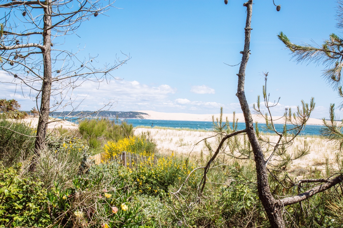
Loop trail through the beach on the outward journey, and the dunes on the way back. Nice view of the entrance to the Arcachon basin and the Pilat dune.

Already more than 200,000 users!
Uphill
0m
Highest point
16m
Downhill
0m
Lowest point
6m
Route type
Loop
Download the map on your smartphone to save battery and rest assured to always keep access to the route, even without signal.
Includes IGN France and Swisstopo.
I indicate whether dogs are allowed or prohibited on this trail
All year
2 ratings
Très sympa ! Aller-retour effectué dans les dunes plutôt que sur la plage.
Also enjoy:

Already more than 200,000 users!