Uphill
95m
Length
10km
Duration
3h
Elev gain
95m
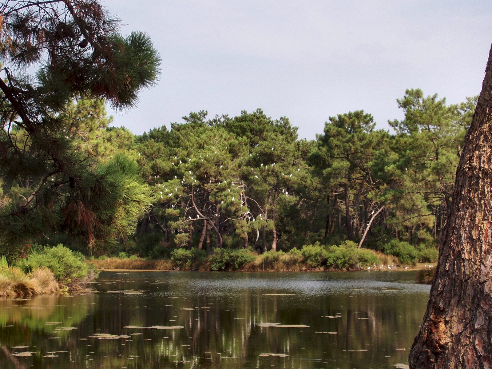
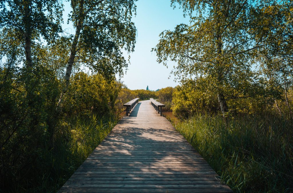
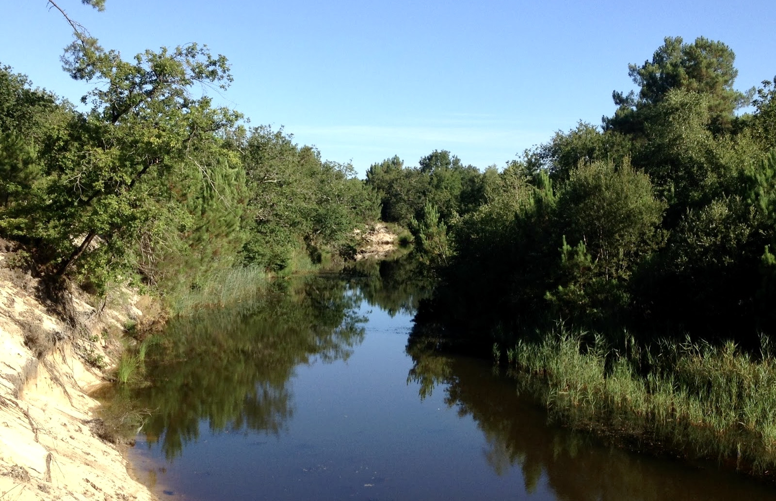
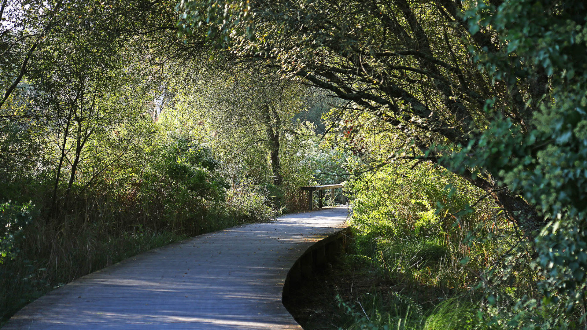
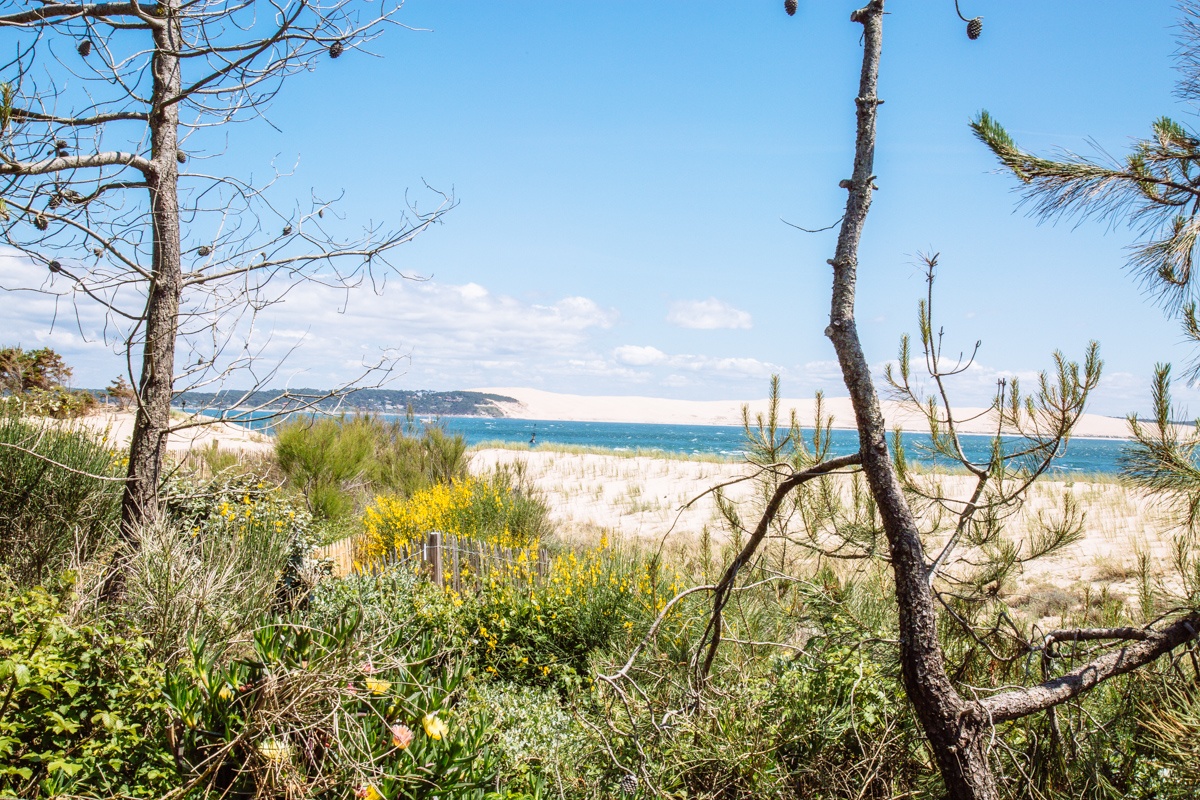
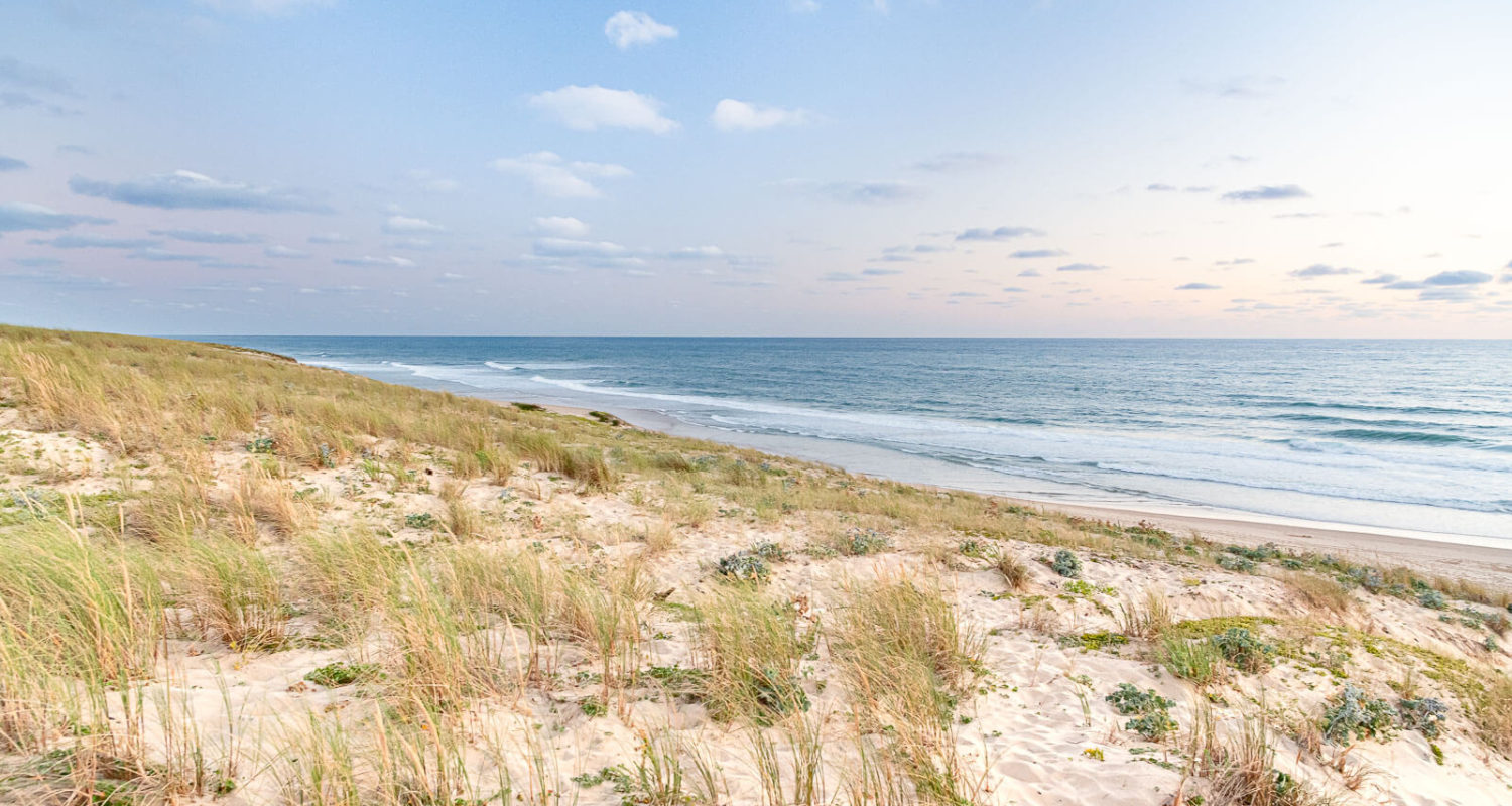
Very nice route near Lège-Cap-Ferret, starting from Pointe aux Chevaux and leading to the Atlantic Ocean. The hike makes a loop alternating between coniferous forest, dunes, beach, and Arcachon basin.

Already more than 200,000 users!
Uphill
95m
Highest point
53m
Downhill
95m
Lowest point
0m
Route type
Loop
Download the map on your smartphone to save battery and rest assured to always keep access to the route, even without signal.
Includes IGN France and Swisstopo.
I indicate whether dogs are allowed or prohibited on this trail
All year
3 ratings
Also enjoy:

Already more than 200,000 users!