Uphill
32m
Length
14km
Duration
3h30min
Elev gain
32m
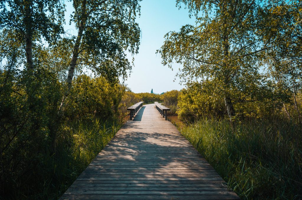
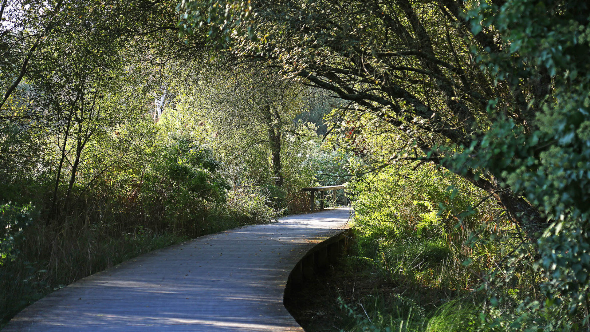
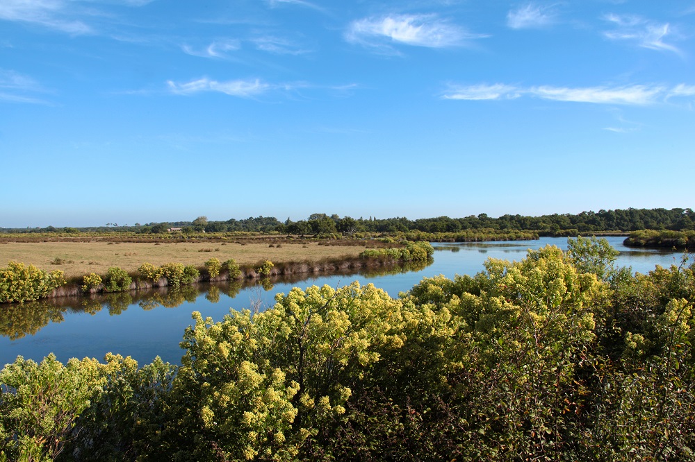
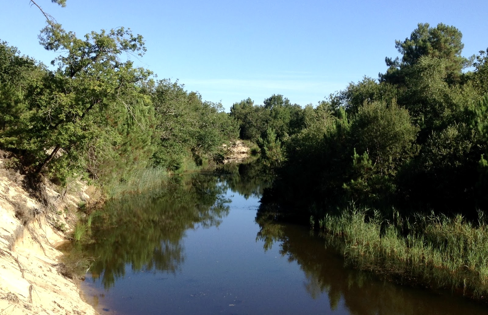
Departing from Lège-Cap-Ferret, this trail runs along a wild and winding section of the "Canal des Etangs", before returning by the GR8. This canal, built in the 19th century, made it possible to connect the Médoc ponds to the Arcachon basin, and thus to drain a vast area and to plant it with pines.

Already more than 200,000 users!
Uphill
32m
Highest point
24m
Downhill
32m
Lowest point
6m
Route type
There and back
Download the map on your smartphone to save battery and rest assured to always keep access to the route, even without signal.
Includes IGN France and Swisstopo.
I indicate whether dogs are allowed or prohibited on this trail
All year
0 ratings
Also enjoy:

Already more than 200,000 users!