Uphill
0m
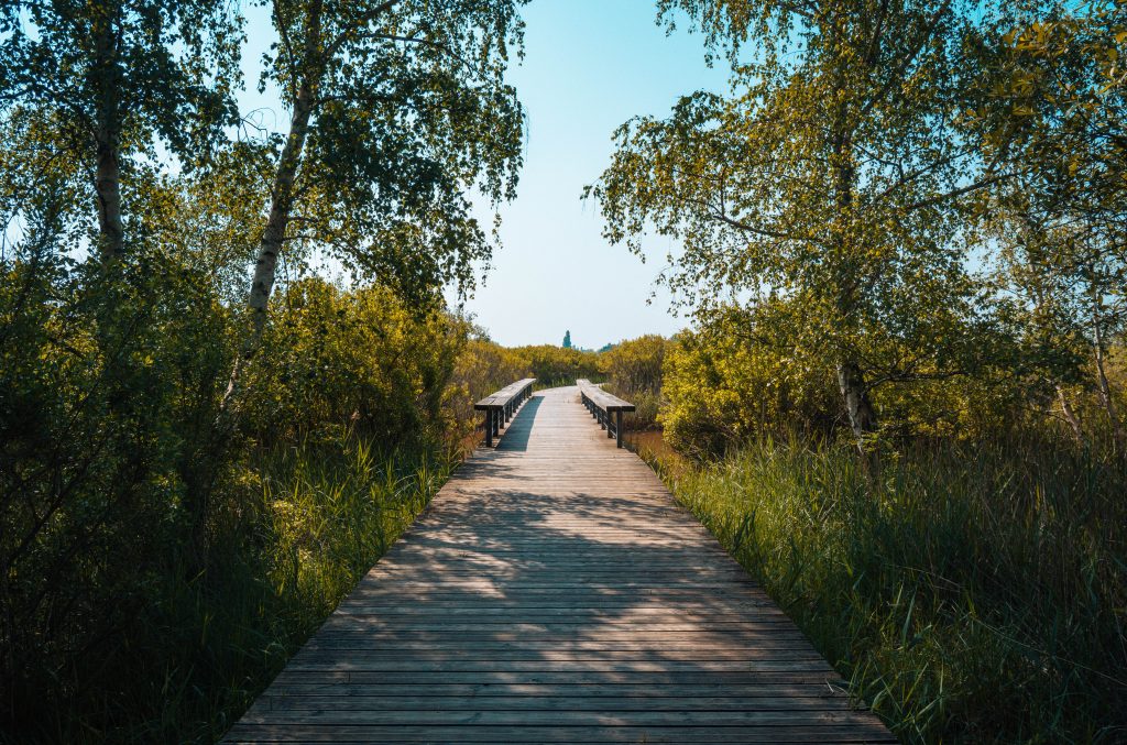
Length
4km
Duration
1h
Elev gain
0m
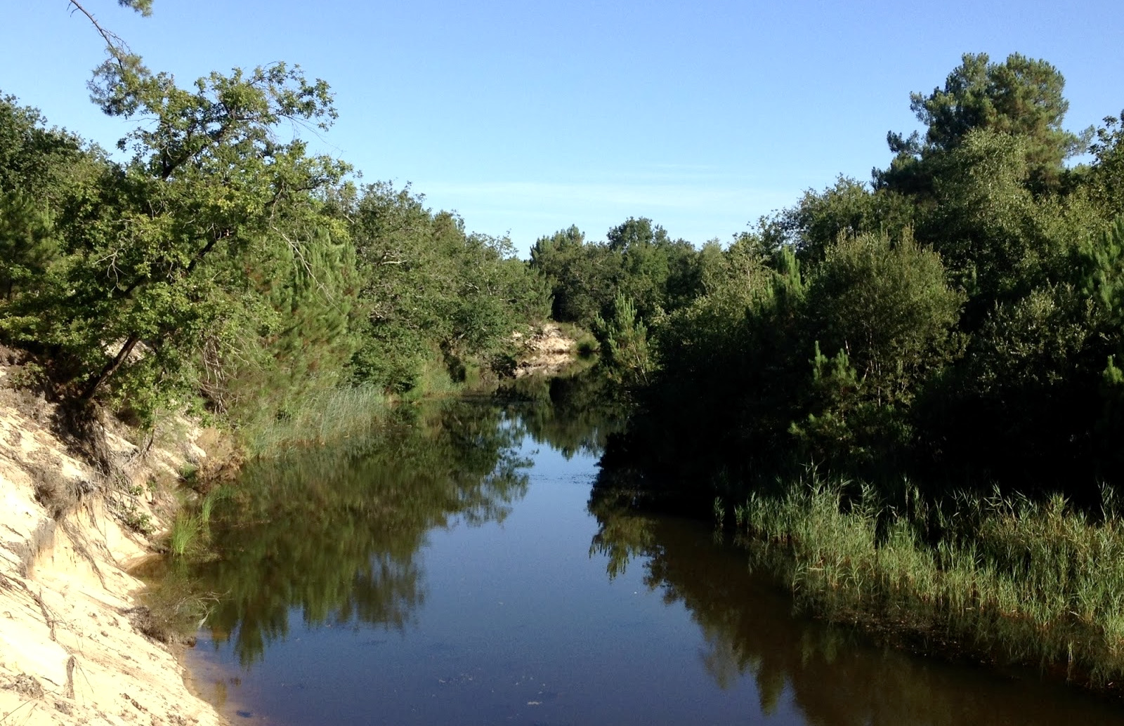
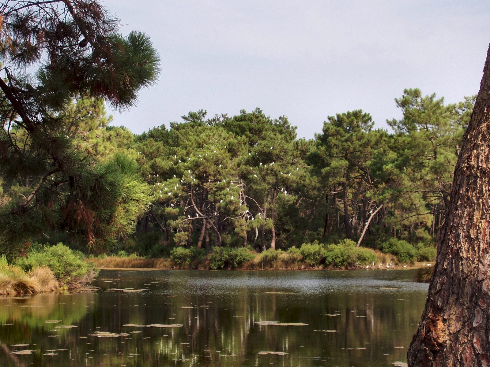
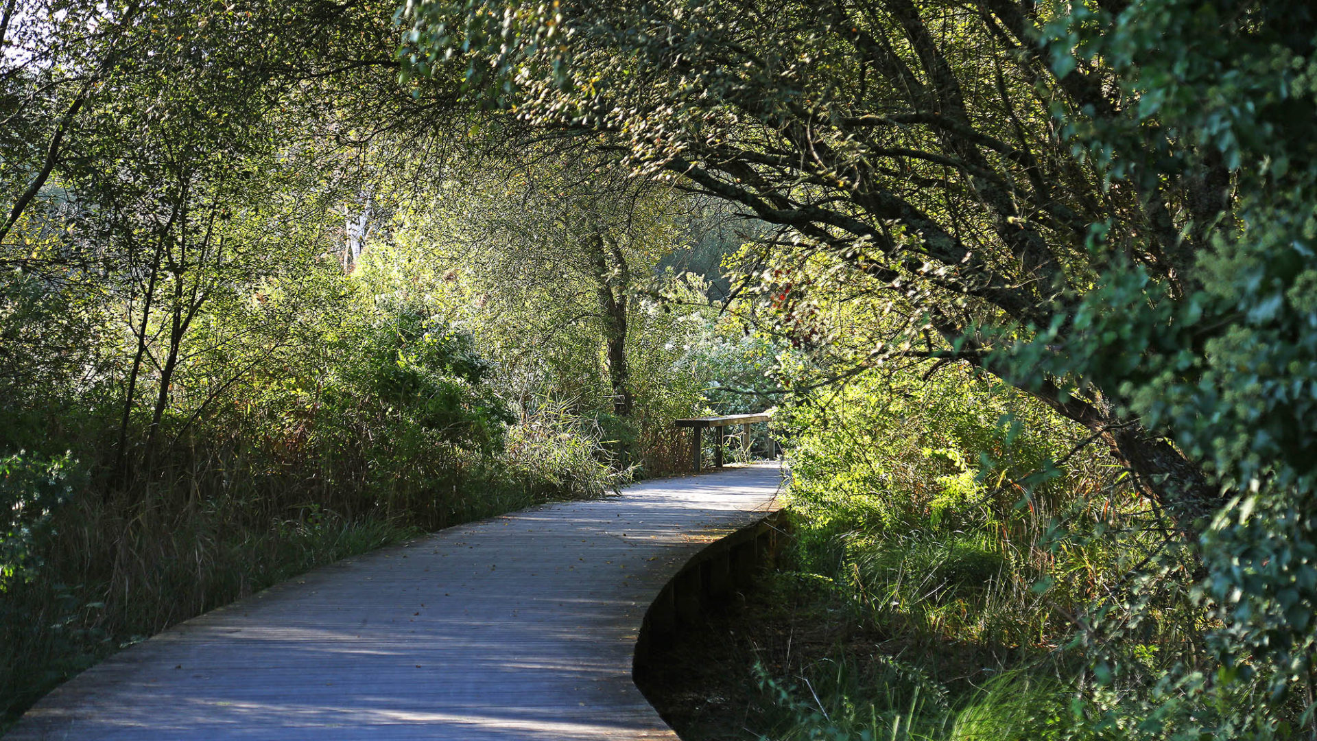
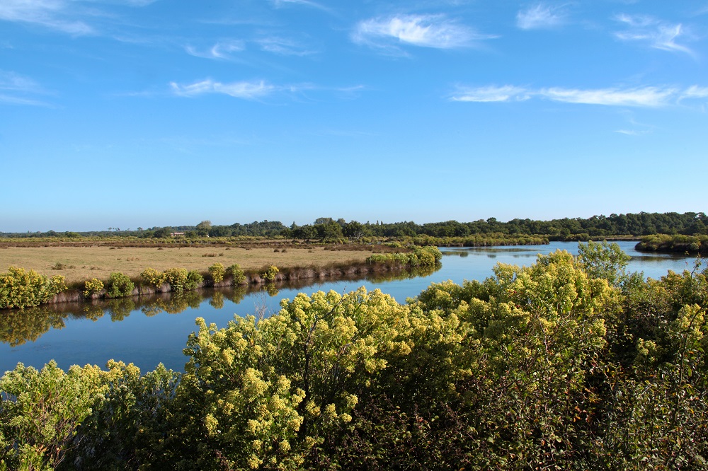
This path runs along the shore within the Prés Salés d'Arès and Lège-Cap-Ferret nature reserve, which has a rich biodiversity.

Already more than 200,000 users!
Uphill
0m
Highest point
15m
Downhill
0m
Lowest point
6m
Route type
There and back
Download the map on your smartphone to save battery and rest assured to always keep access to the route, even without signal.
Includes IGN France and Swisstopo.
I indicate whether dogs are allowed or prohibited on this trail
All year
1 rating
Also enjoy:

Already more than 200,000 users!