Uphill
1133m

Length
17km
Duration
8h
Elev gain
1133m
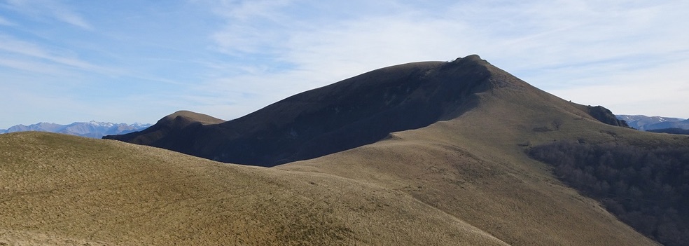
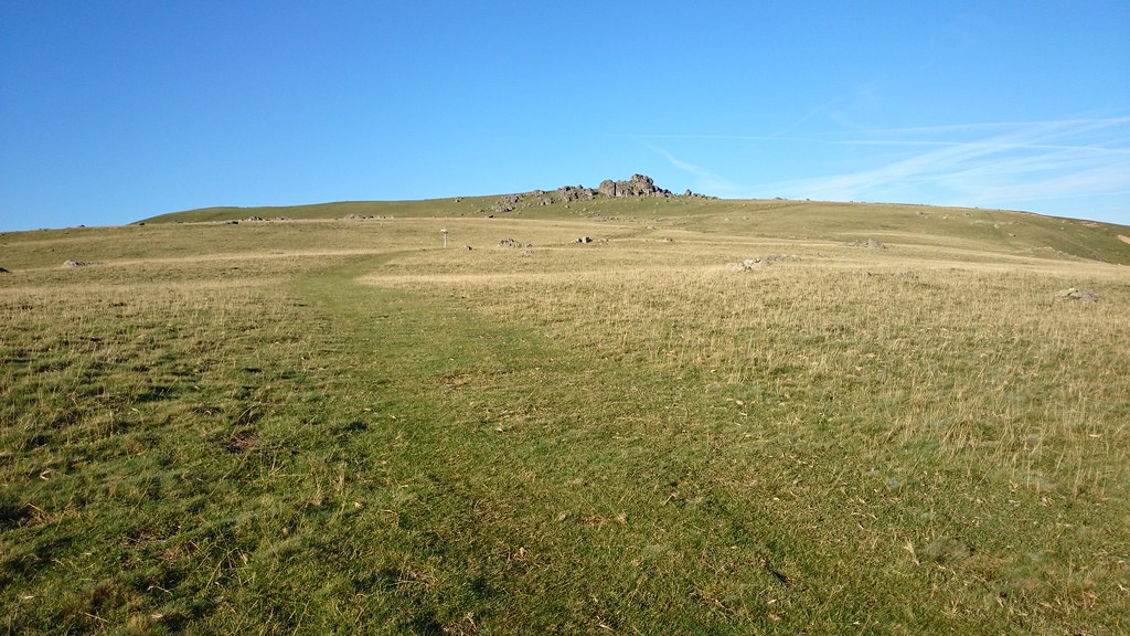
Departing from the Iraty chalets, this hike is physical and technical. The trail leads to the Pic d'Orhy, 2,017 meters above sea level. The peaks of Organbidexka, Aitxigarre, Tharta Punta and Zazpigain are visible during the hike.

Already more than 200,000 users!
Uphill
1133m
Highest point
2009m
Downhill
1133m
Lowest point
1334m
Route type
There and back
Download the map on your smartphone to save battery and rest assured to always keep access to the route, even without signal.
Includes IGN France and Swisstopo.
I indicate whether dogs are allowed or prohibited on this trail
From May to September
0 ratings
Also enjoy:

Already more than 200,000 users!