Uphill
657m
Length
13km
Duration
5h
Elev gain
657m
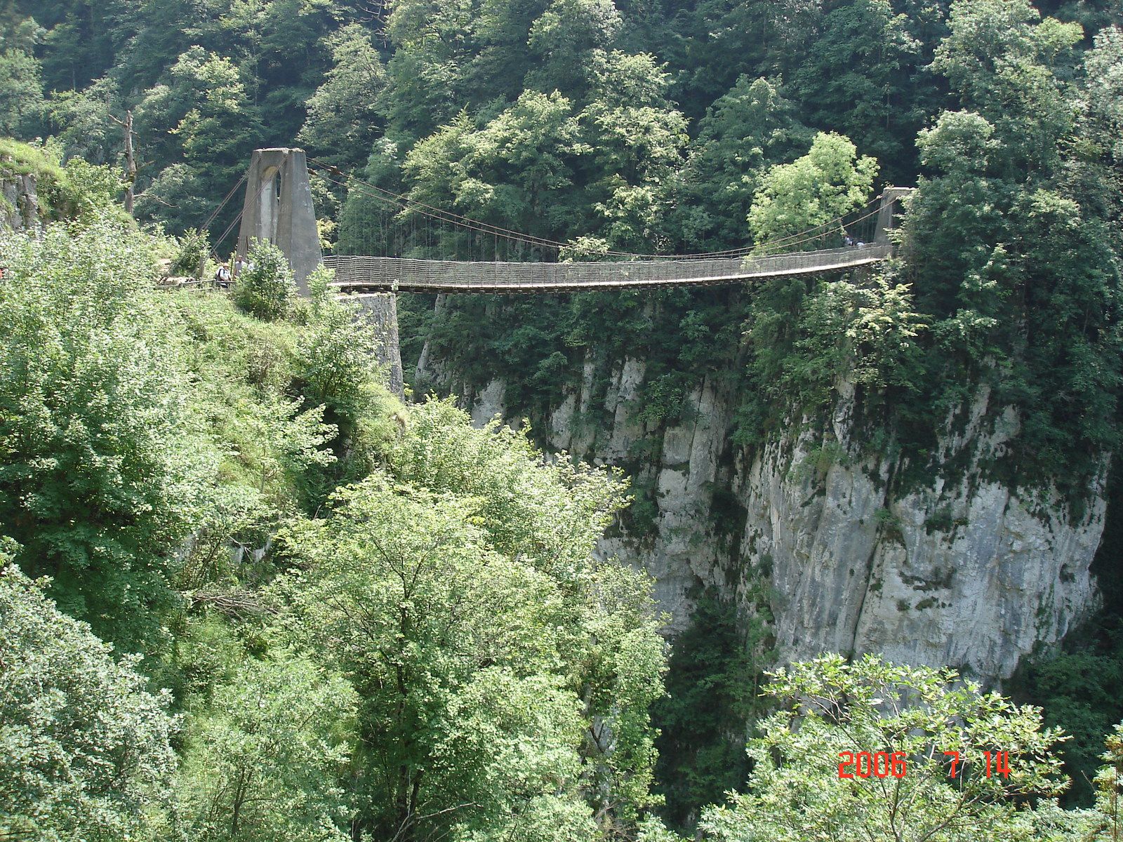
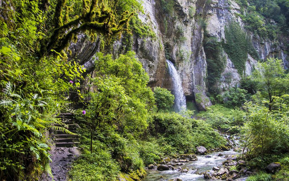
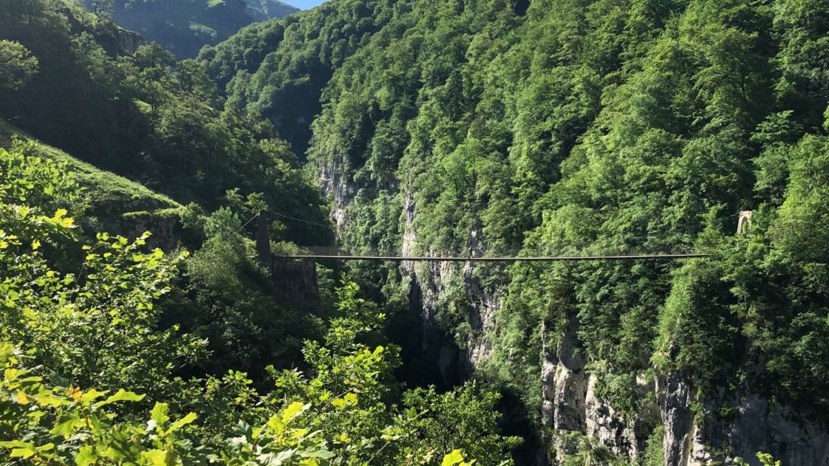
This route makes a long loop within a narrow canyon, in a pleasant setting of forests, streams and waterfalls. The highlight of the show is the passage through a footbridge suspended 180 meters above a torrent.

Already more than 200,000 users!
Uphill
657m
Highest point
988m
Downhill
657m
Lowest point
405m
Route type
Loop
Download the map on your smartphone to save battery and rest assured to always keep access to the route, even without signal.
Includes IGN France and Swisstopo.
I indicate whether dogs are allowed or prohibited on this trail
Can be difficult in Winter
0 ratings
Also enjoy:

Already more than 200,000 users!