Uphill
250m
Length
4km
Duration
2h
Elev gain
250m
⚠️ In 2023, this trail was closed until further notice.
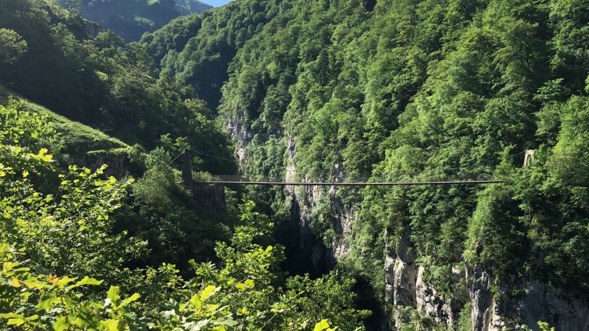
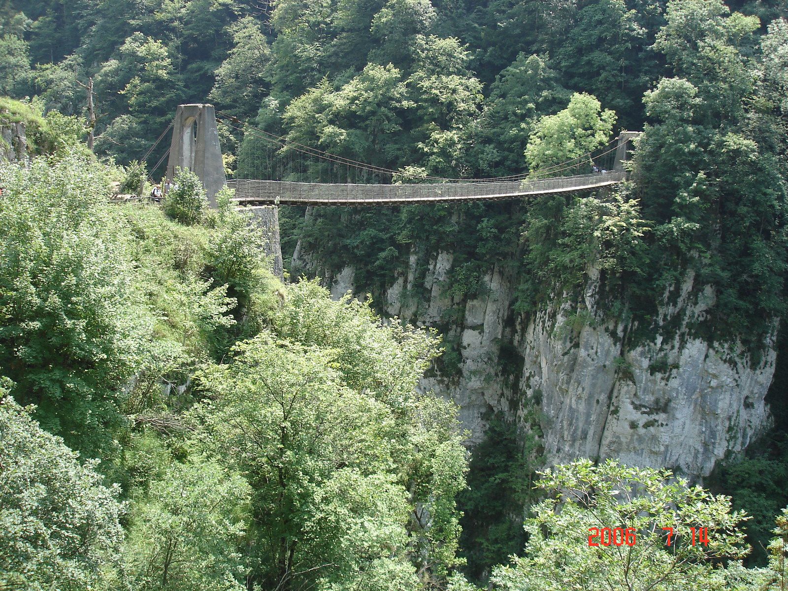
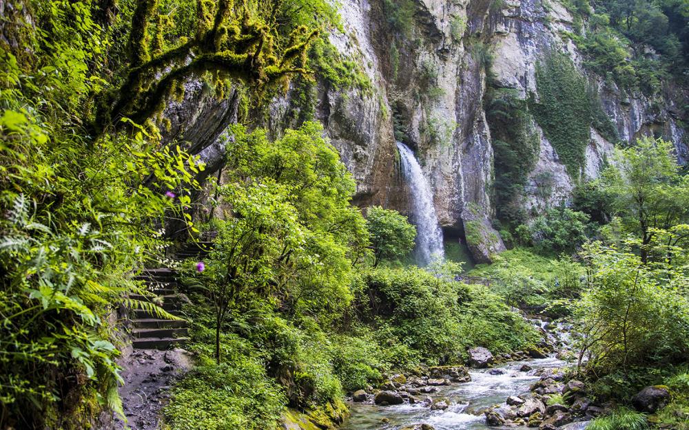
Trail leading to a cave and a waterfall. Pretty but short.

Already more than 200,000 users!
Uphill
250m
Highest point
664m
Downhill
250m
Lowest point
470m
Route type
There and back
Download the map on your smartphone to save battery and rest assured to always keep access to the route, even without signal.
Includes IGN France and Swisstopo.
I indicate whether dogs are allowed or prohibited on this trail
All year
0 ratings
Also enjoy:

Already more than 200,000 users!