Uphill
1023m
Length
16km
Duration
7h30min
Elev gain
1023m
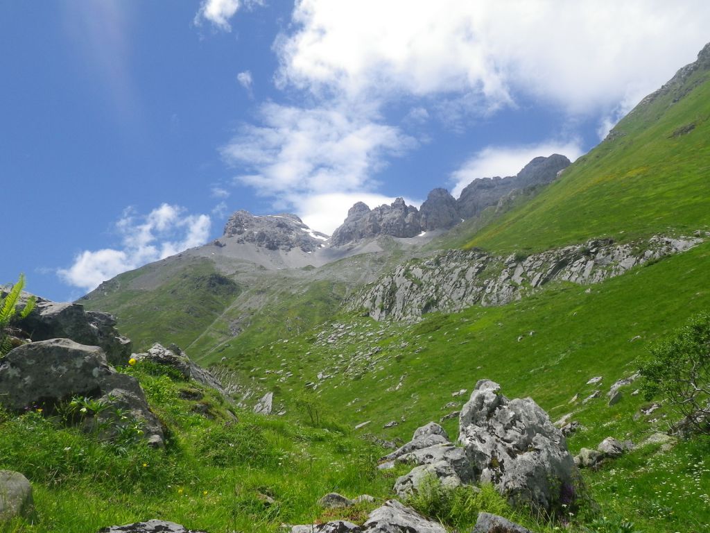
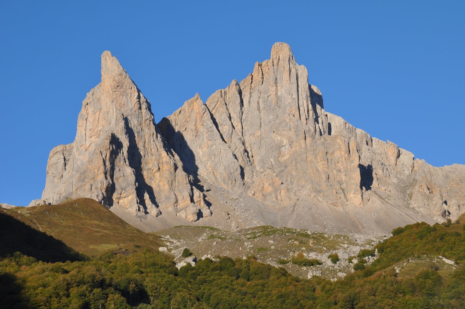
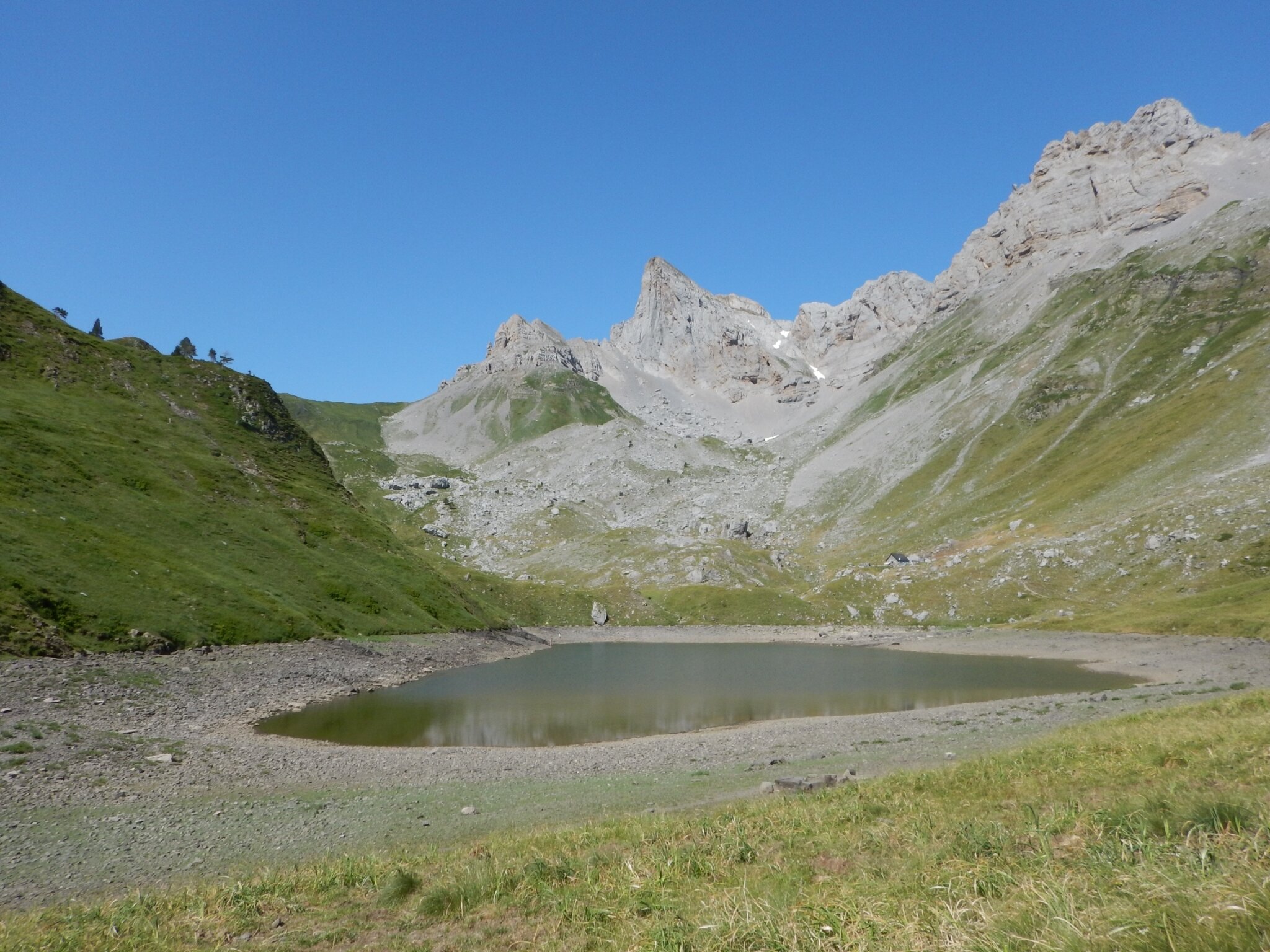
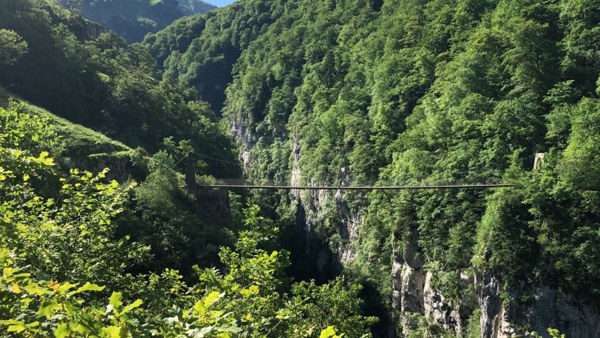
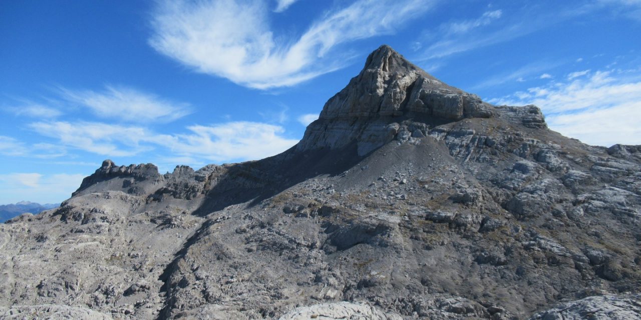
Ascent of the first summit exceeding 2500 m from the Atlantic Ocean. The panorama is extraordinary, from Pic d'Orhy to Monte Perdido.

Already more than 200,000 users!
Uphill
1023m
Highest point
2449m
Downhill
1023m
Lowest point
1632m
Route type
There and back
Download the map on your smartphone to save battery and rest assured to always keep access to the route, even without signal.
Includes IGN France and Swisstopo.
I indicate whether dogs are allowed or prohibited on this trail
From June to September
1 rating
Also enjoy:

Already more than 200,000 users!