Uphill
1066m
Length
11km
Duration
7h
Elev gain
1066m
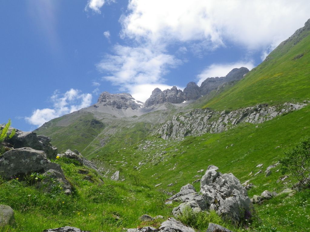
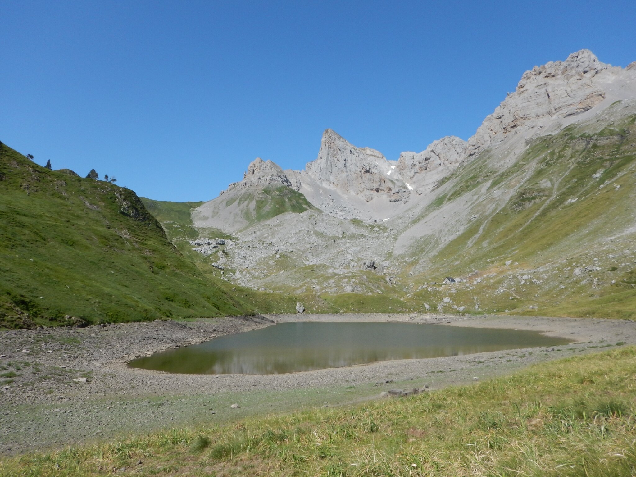
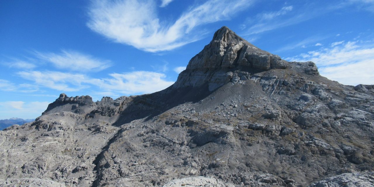
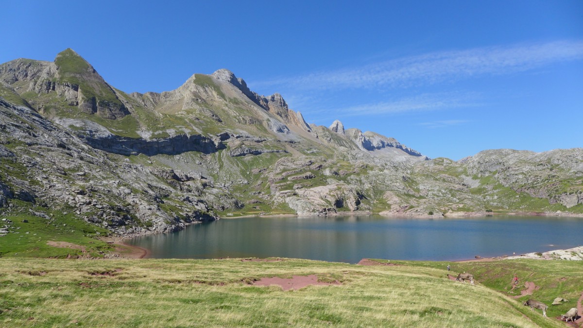
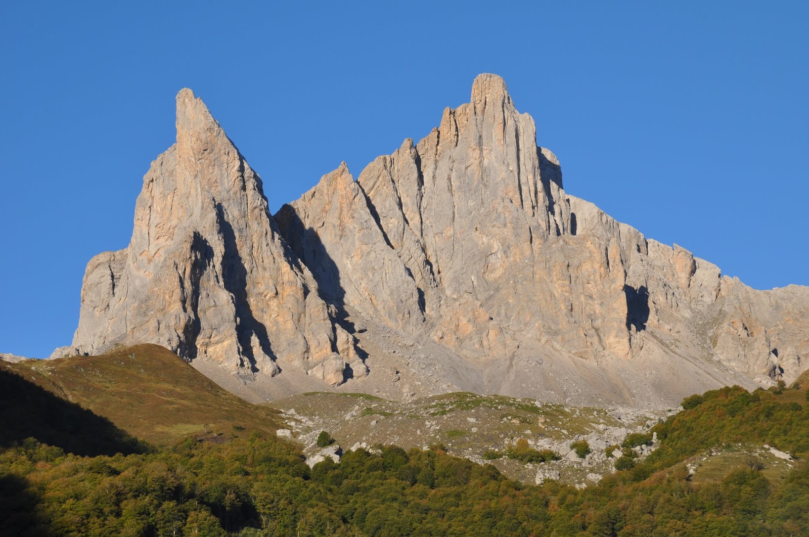
Magnificent hike that evolves under the Ansabère needles. The trail passes through a pretty beech forest and green summer pastures. The last passage before arriving at the peak of Ansabère (2,371m) is quite steep and slippery.

Already more than 200,000 users!
Uphill
1066m
Highest point
2201m
Downhill
1066m
Lowest point
1192m
Route type
There and back
Download the map on your smartphone to save battery and rest assured to always keep access to the route, even without signal.
Includes IGN France and Swisstopo.
I indicate whether dogs are allowed or prohibited on this trail
From May to September
0 ratings
Also enjoy:

Already more than 200,000 users!