Uphill
694m
Length
9km
Duration
5h
Elev gain
694m
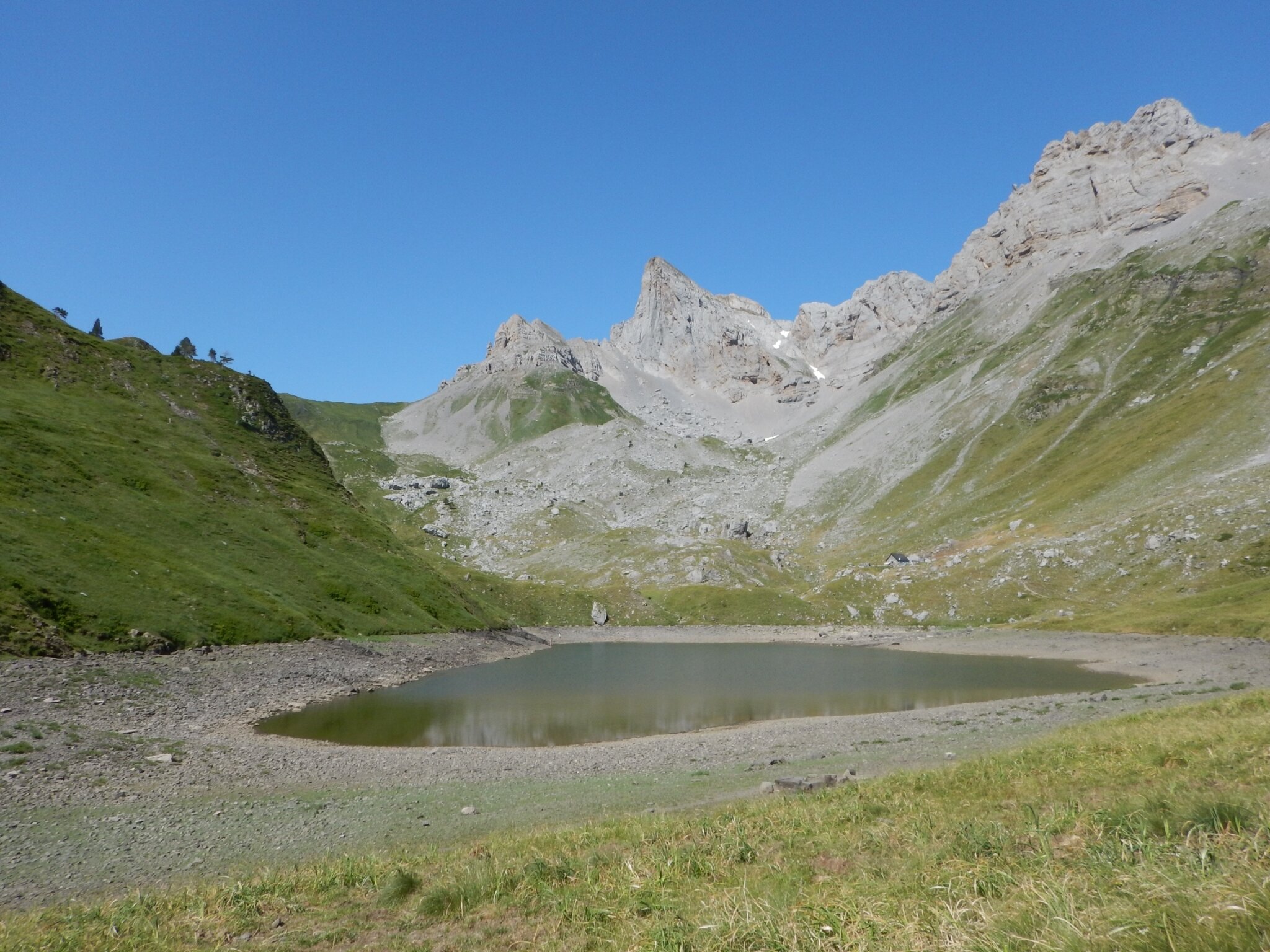
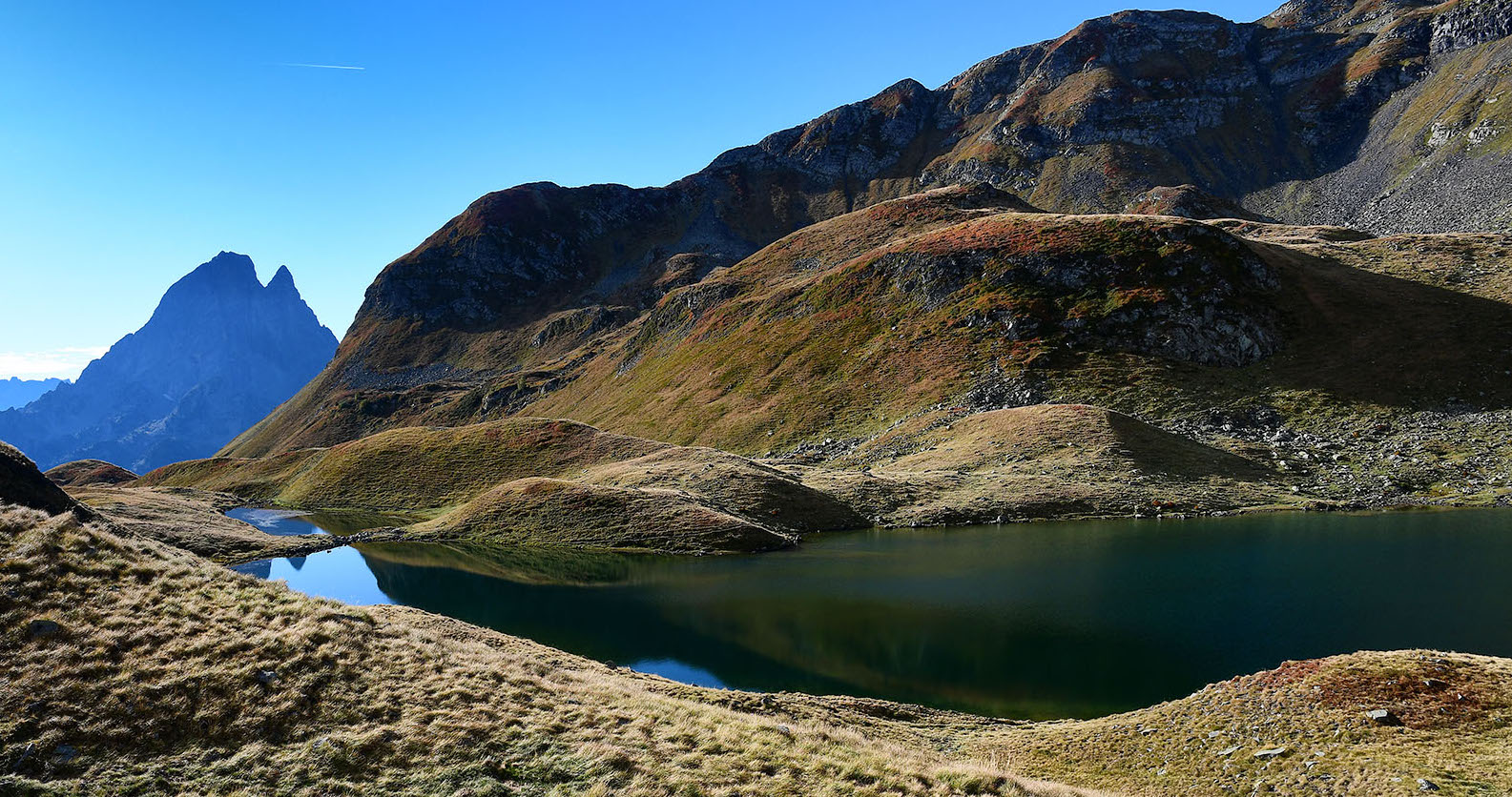
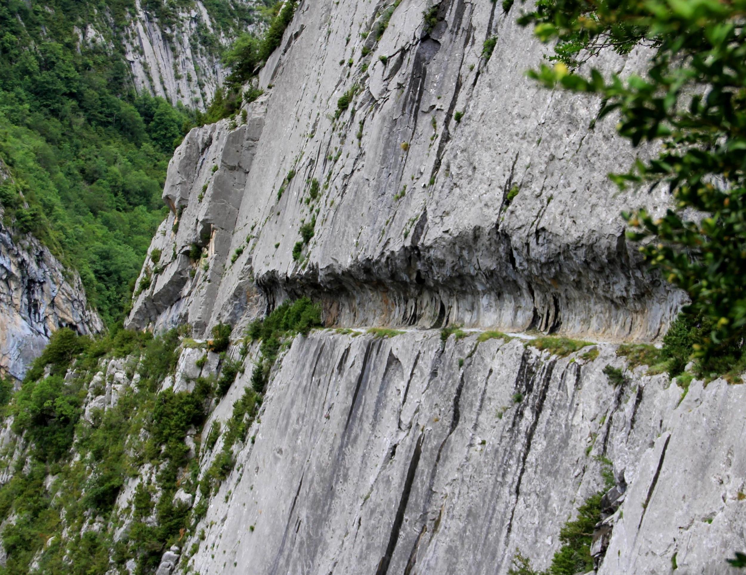
Want thrills? This hike is the right one. The trail takes the chemin de la Mâture, one of the most vertiginous passages of the GR10 which crosses the Pyrenees. Once at the Col d'Arras, the descent is on a stony path.

Already more than 200,000 users!
Uphill
694m
Highest point
1310m
Downhill
694m
Lowest point
647m
Route type
Loop
Download the map on your smartphone to save battery and rest assured to always keep access to the route, even without signal.
Includes IGN France and Swisstopo.
I indicate whether dogs are allowed or prohibited on this trail
Can be difficult in Winter
0 ratings
Also enjoy:

Already more than 200,000 users!