Uphill
1234m
Length
13km
Duration
8h
Elev gain
1234m
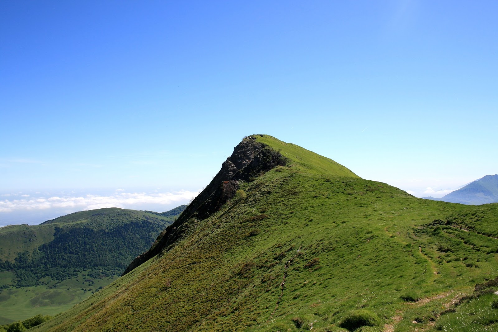
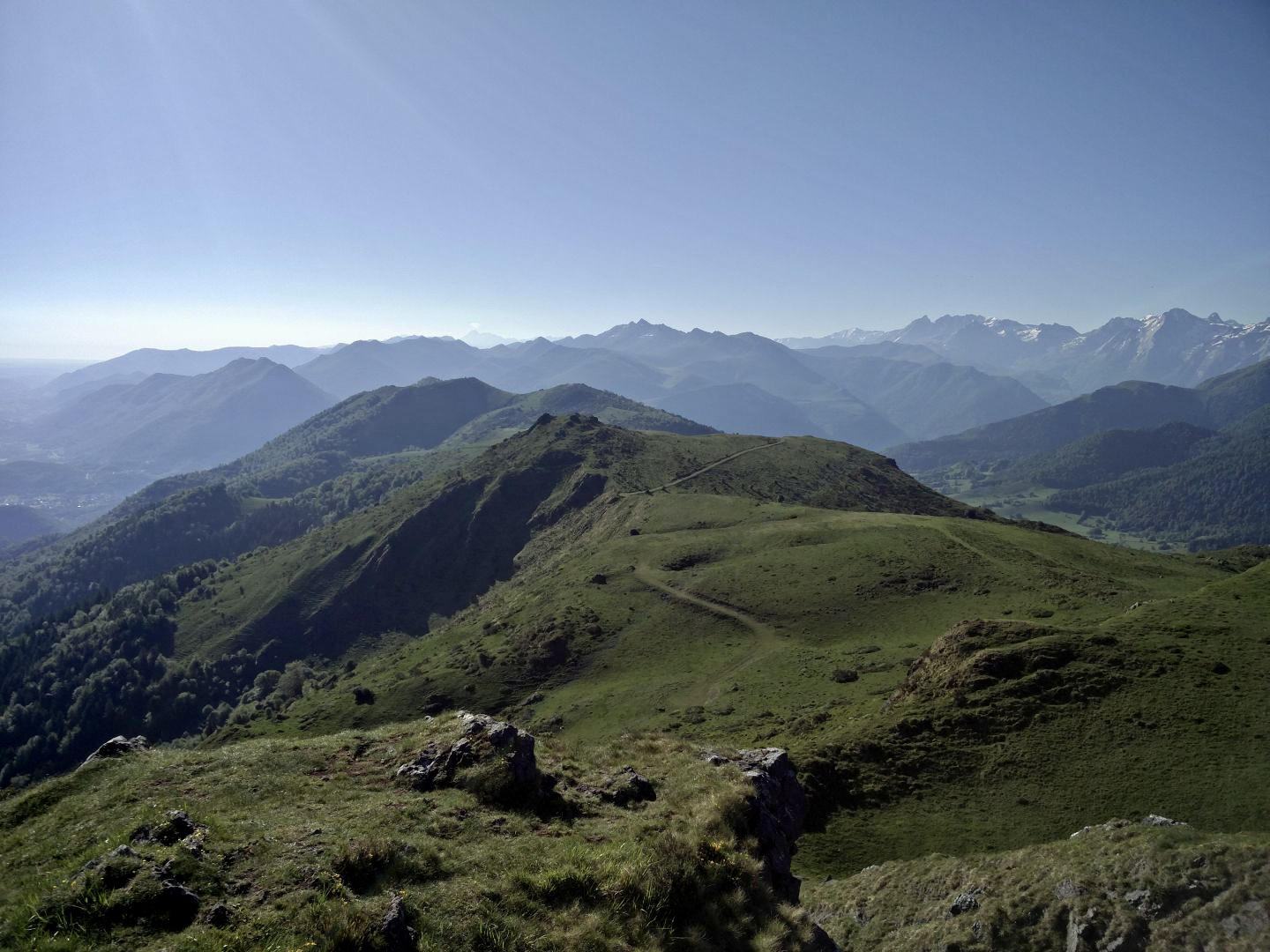
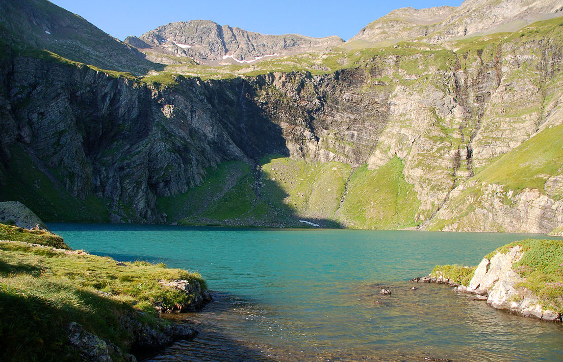
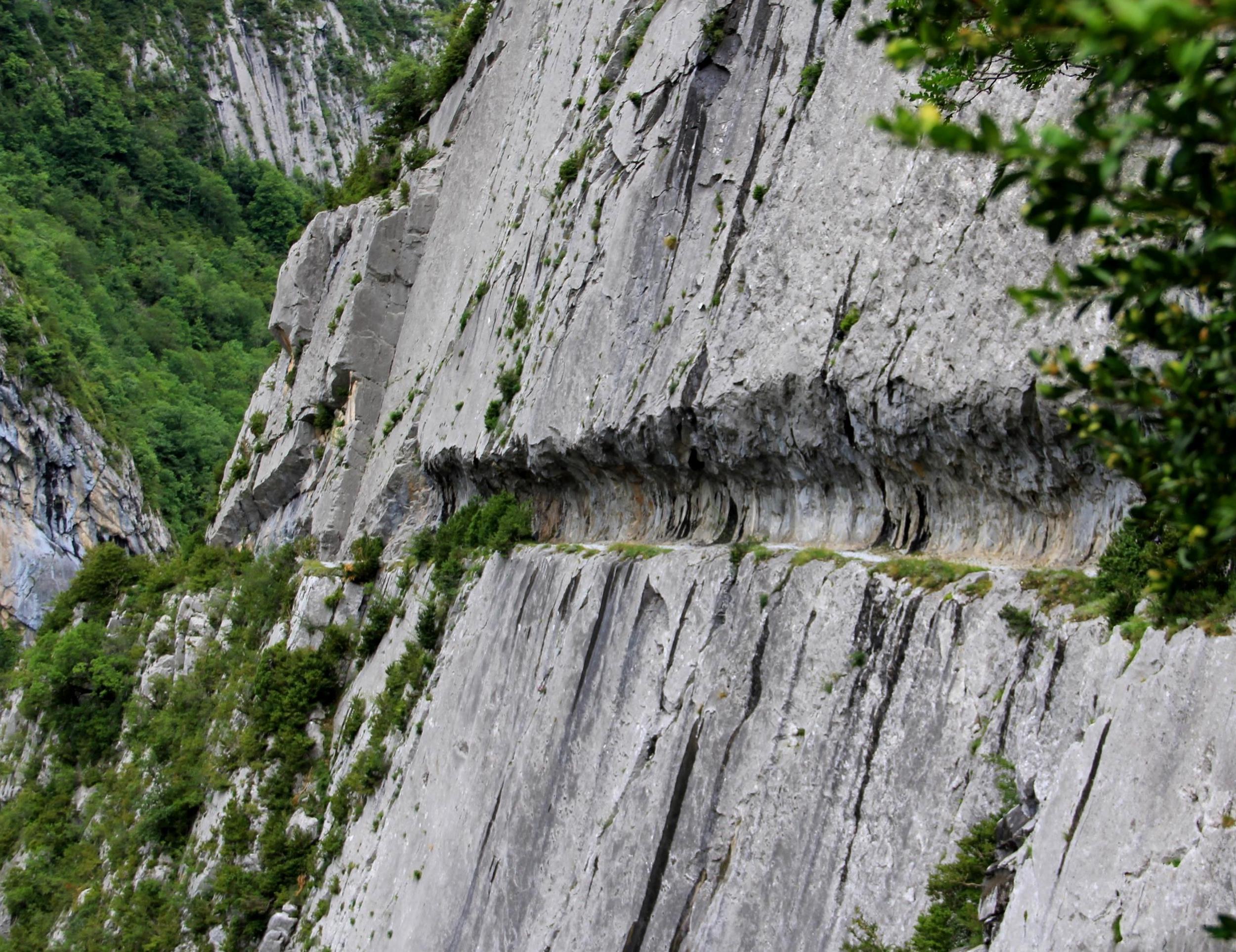
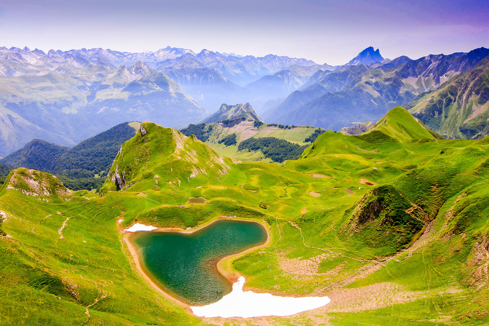
From the Col de la Serre, this trail begins in the forest then passes by two pretty cabins. It then climbs up to the Col de la Taillandère (1,836m) before reaching the pretty Lac du Montagnon (2,003m). A demanding hike, but which offers a nice reward on arrival.

Already more than 200,000 users!
Uphill
1234m
Highest point
2022m
Downhill
1234m
Lowest point
920m
Route type
There and back
Download the map on your smartphone to save battery and rest assured to always keep access to the route, even without signal.
Includes IGN France and Swisstopo.
I indicate whether dogs are allowed or prohibited on this trail
From May to September
0 ratings
Also enjoy:

Already more than 200,000 users!