Uphill
730m
Length
7km
Duration
5h
Elev gain
730m
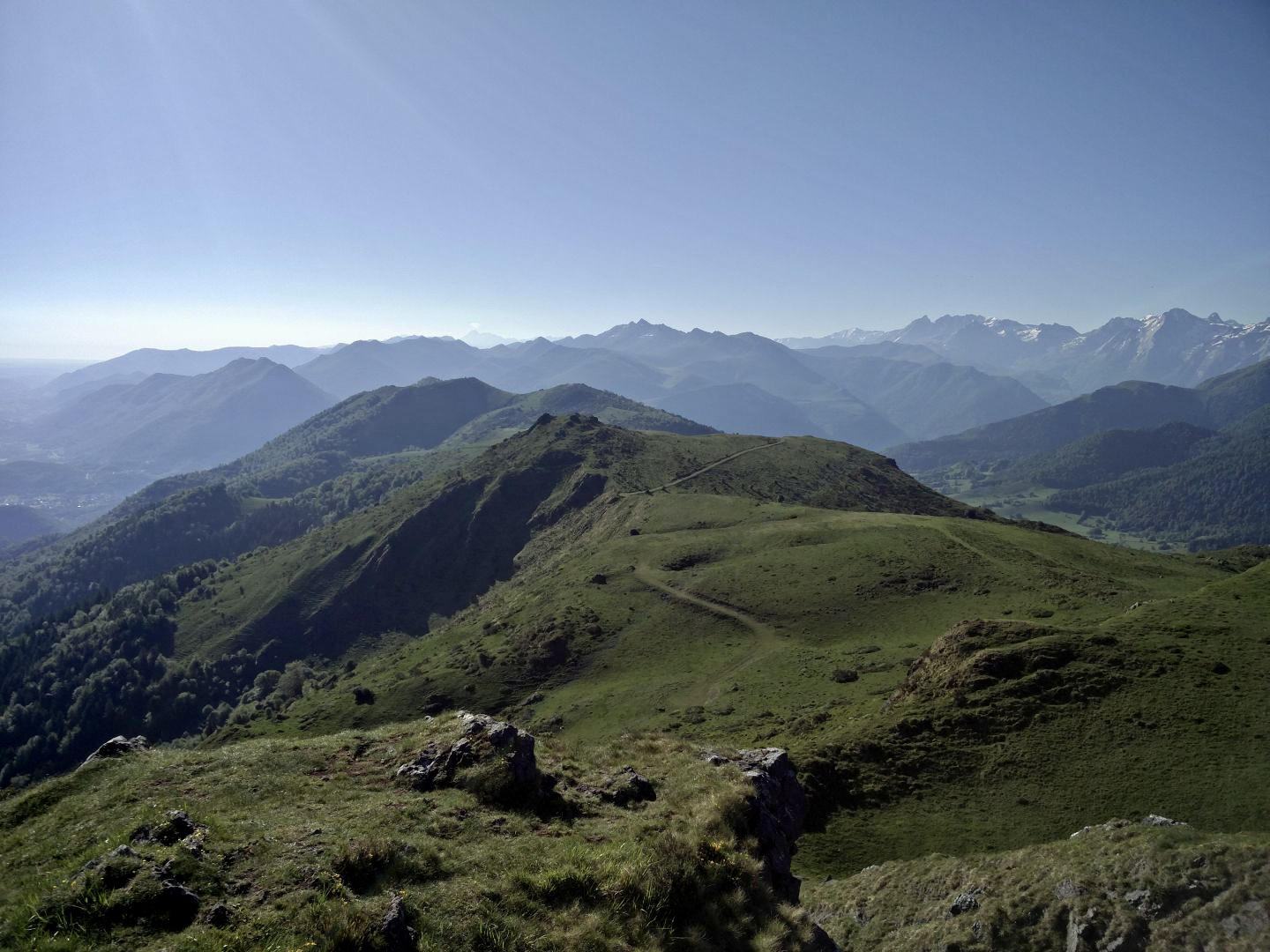
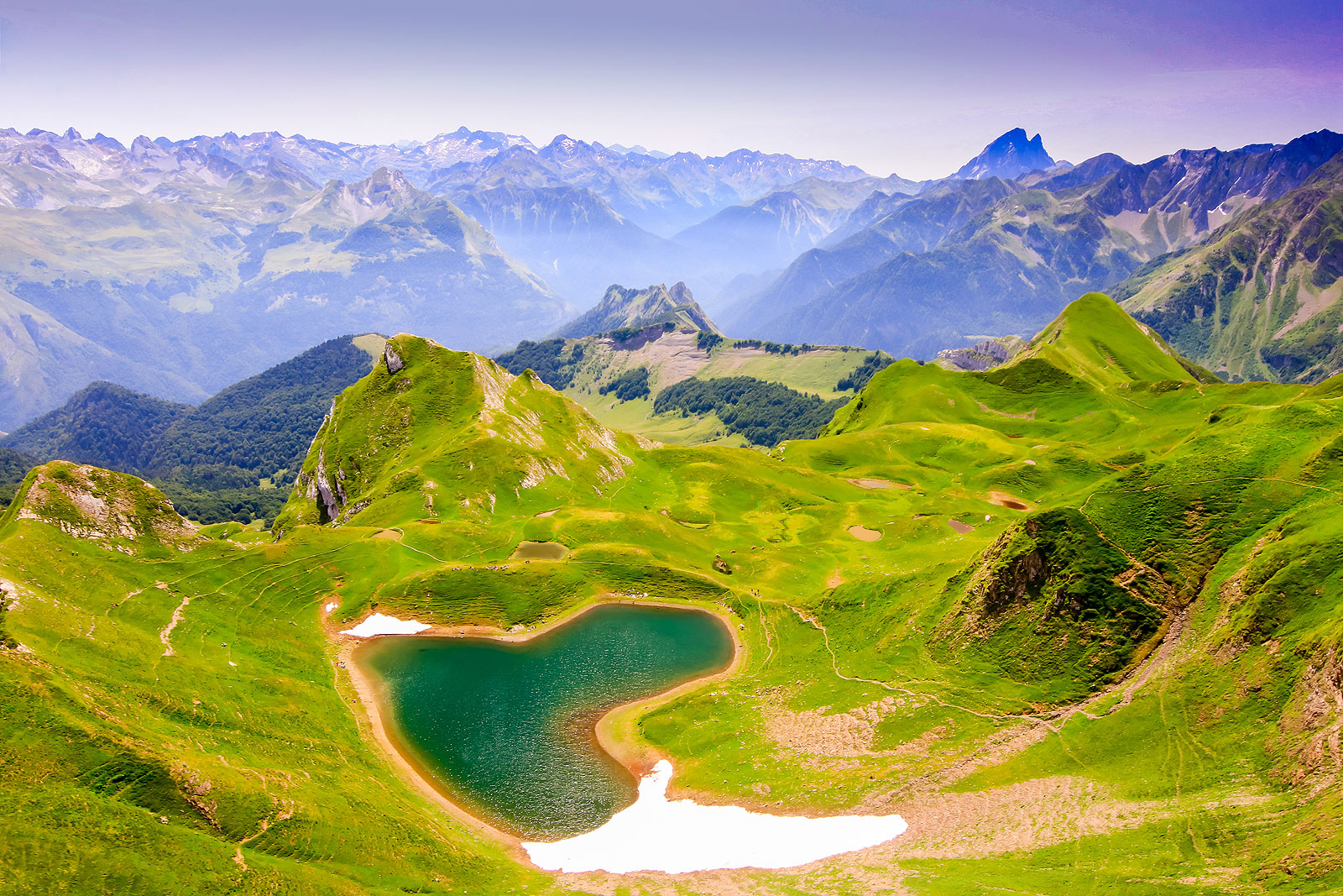
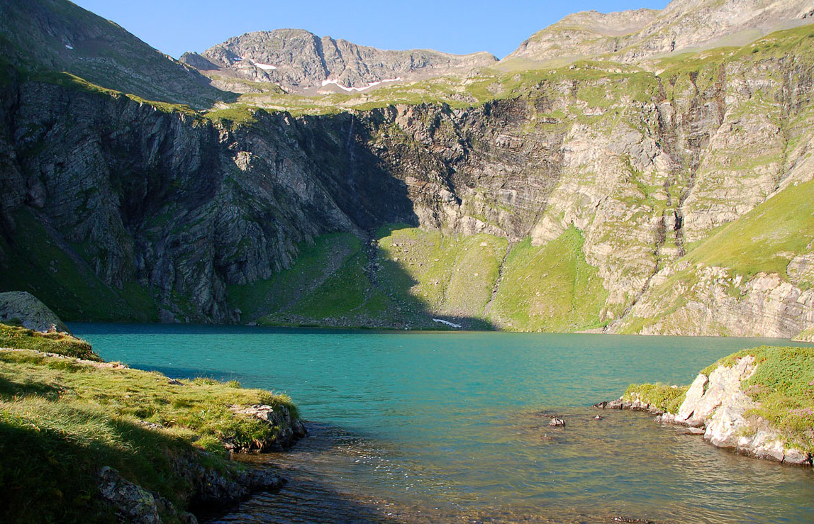
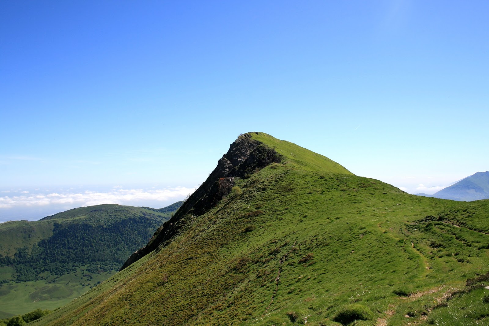
Starting from the old marble quarries of the Brêches du Benou, this pretty hike climbs to the Aran rock (1,796m). The trail follows the Artigasse ravine and passes through the Col d'Aran before reaching the rock. At the top, the view is gorgeous.
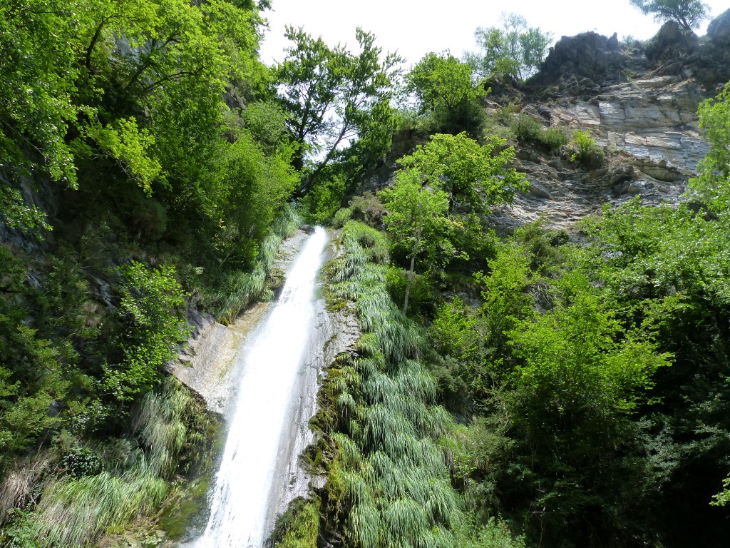
On the way back, the path passes by the fountain of Congles and the source of Lourancelles.

Already more than 200,000 users!
Uphill
730m
Highest point
1754m
Downhill
726m
Lowest point
1015m
Route type
Loop
Download the map on your smartphone to save battery and rest assured to always keep access to the route, even without signal.
Includes IGN France and Swisstopo.
I indicate whether dogs are allowed or prohibited on this trail
From May to October
0 ratings
Also enjoy:

Already more than 200,000 users!