Uphill
844m
Length
11km
Duration
6h
Elev gain
844m
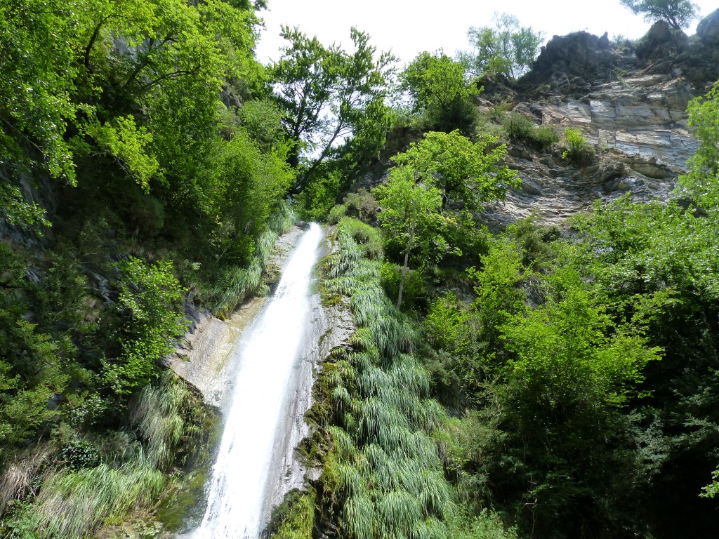
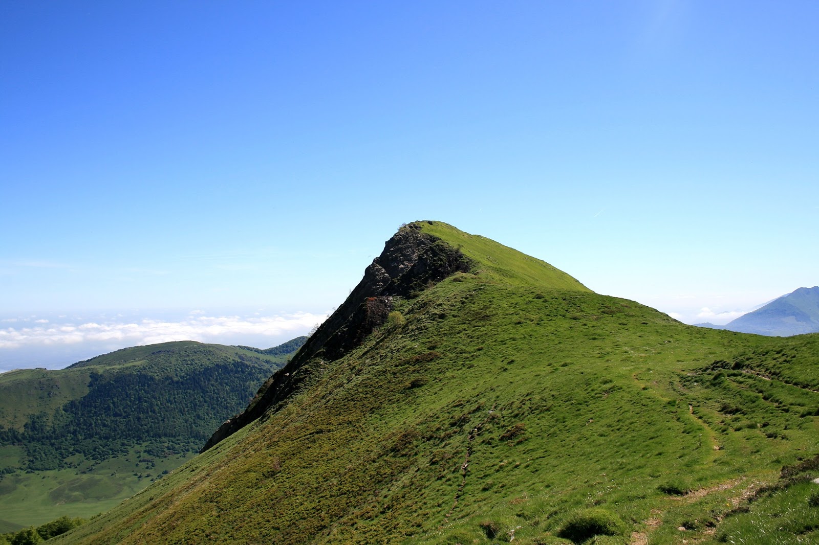
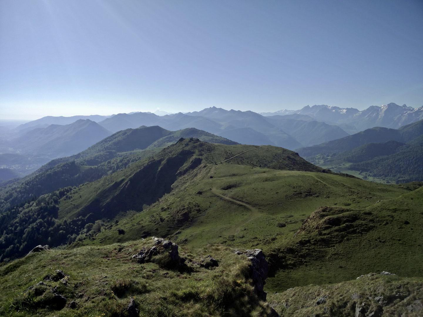
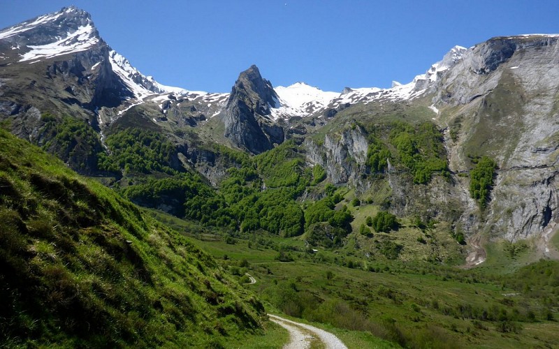
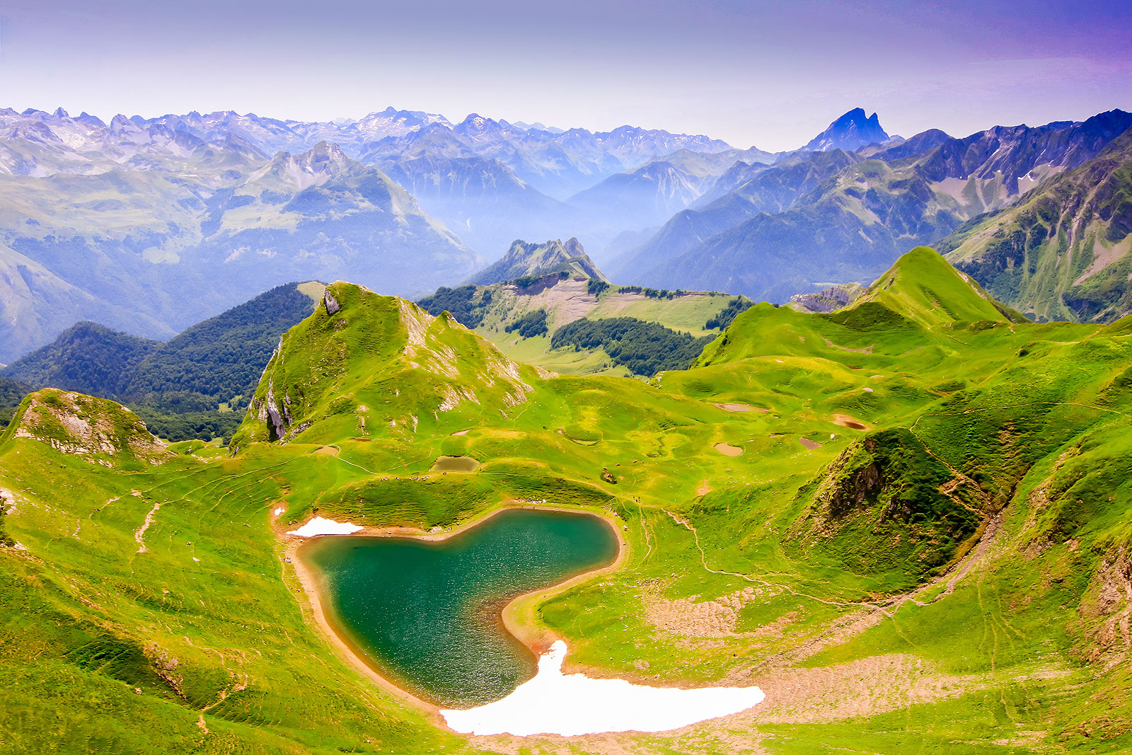
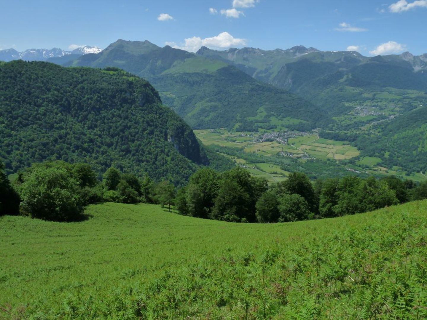
Departing from Castet, this path goes around Le Rey and alternates between meadows and the Bois de Cousseau. Diverse and varied landscapes with a lovely view of the valley.

Already more than 200,000 users!
Uphill
844m
Highest point
1296m
Downhill
844m
Lowest point
753m
Route type
Loop
Download the map on your smartphone to save battery and rest assured to always keep access to the route, even without signal.
Includes IGN France and Swisstopo.
I indicate whether dogs are allowed or prohibited on this trail
Can be difficult in Winter
0 ratings
Also enjoy:

Already more than 200,000 users!