Uphill
158m
Length
5km
Duration
1h30min
Elev gain
158m
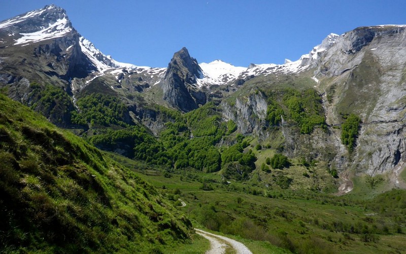
Here is a short walk that can be ideal for a family outing. On the program: beautiful viewpoints and encounters with the herds.

Already more than 200,000 users!
Uphill
158m
Highest point
1217m
Downhill
158m
Lowest point
1131m
Route type
There and back
Download the map on your smartphone to save battery and rest assured to always keep access to the route, even without signal.
Includes IGN France and Swisstopo.
Authorised on a leash
Can be difficult in Winter
0 ratings
Also enjoy:

Already more than 200,000 users!