Uphill
845m
Length
13km
Duration
6h
Elev gain
845m
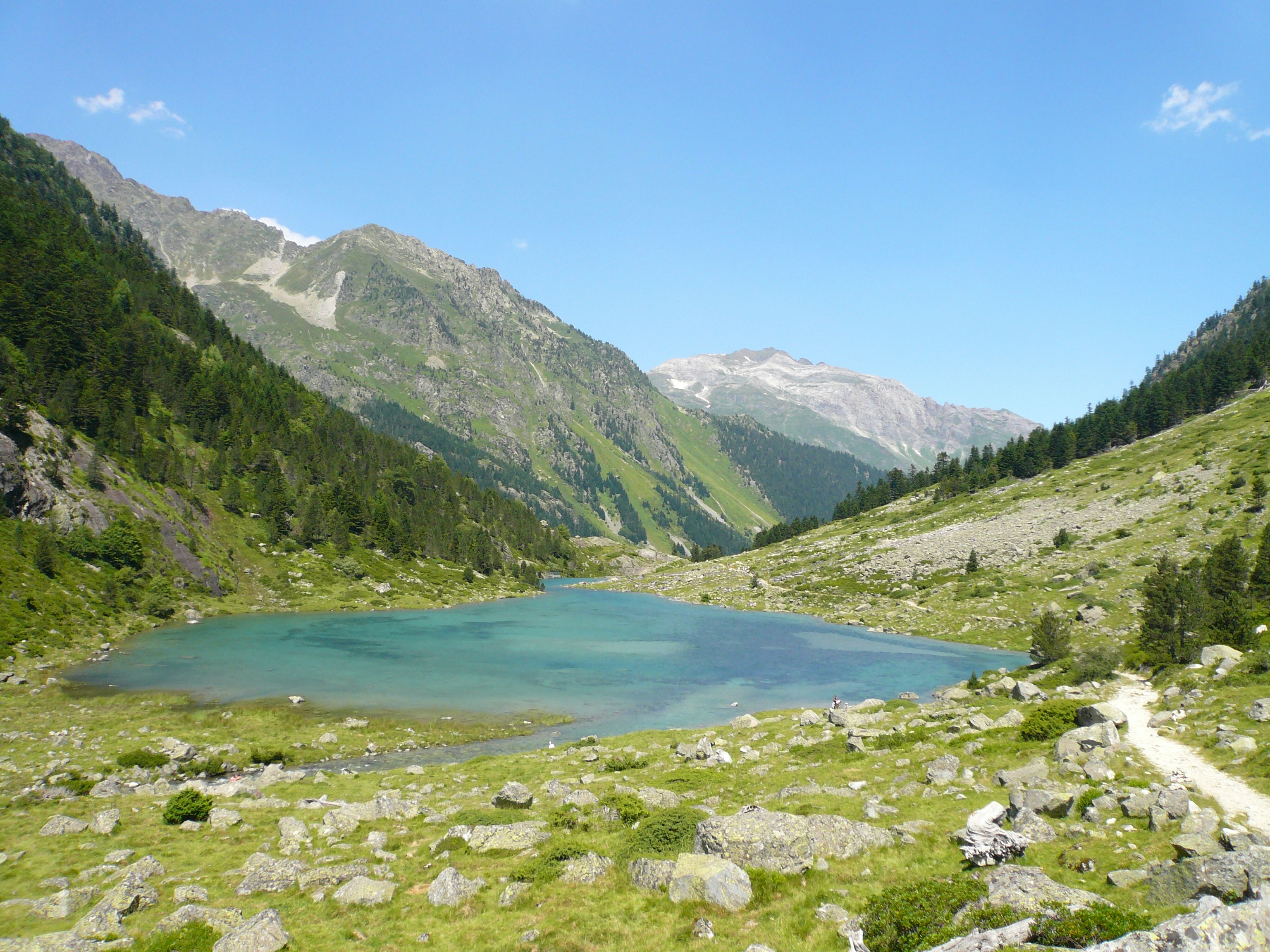
Pleasant hike which goes up to the lake of Batcrabère. The path passes by Lake Suyen, the Doumblas hut and then the Larribet refuge before leading to Batcrabère Lake, at an altitude of 2,190 metres. The landscapes are magnificent.

Already more than 200,000 users!
Uphill
845m
Highest point
2192m
Downhill
845m
Lowest point
1494m
Route type
There and back
Download the map on your smartphone to save battery and rest assured to always keep access to the route, even without signal.
Includes IGN France and Swisstopo.
I indicate whether dogs are allowed or prohibited on this trail
From May to September
0 ratings
Also enjoy:

Already more than 200,000 users!


