Uphill
827m
Length
9km
Duration
5h30min
Elev gain
827m
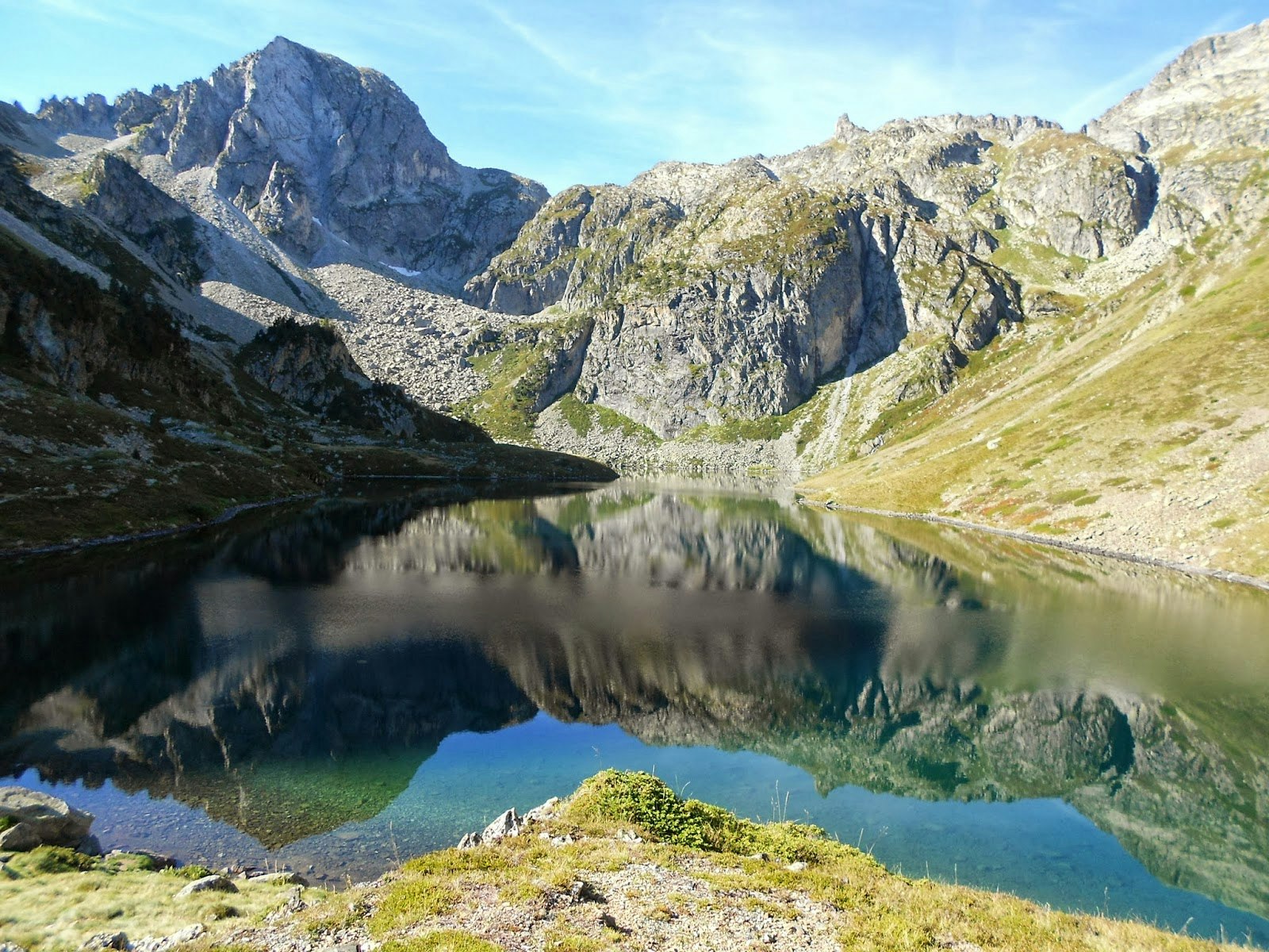
Departing from Lac d'Estaing in the Val d'Azun, this is a there and back trail to Lac du Barbat. Stunning panoramas all along.
It is best to visist at the beginning of summer so that the lake is not dry.

Already more than 200,000 users!
Uphill
827m
Highest point
1992m
Downhill
827m
Lowest point
1172m
Route type
There and back
Download the map on your smartphone to save battery and rest assured to always keep access to the route, even without signal.
Includes IGN France and Swisstopo.
I indicate whether dogs are allowed or prohibited on this trail
From May to October
1 rating
Also enjoy:

Already more than 200,000 users!


