Uphill
1721m
Length
18km
Duration
11h30min
Elev gain
1721m
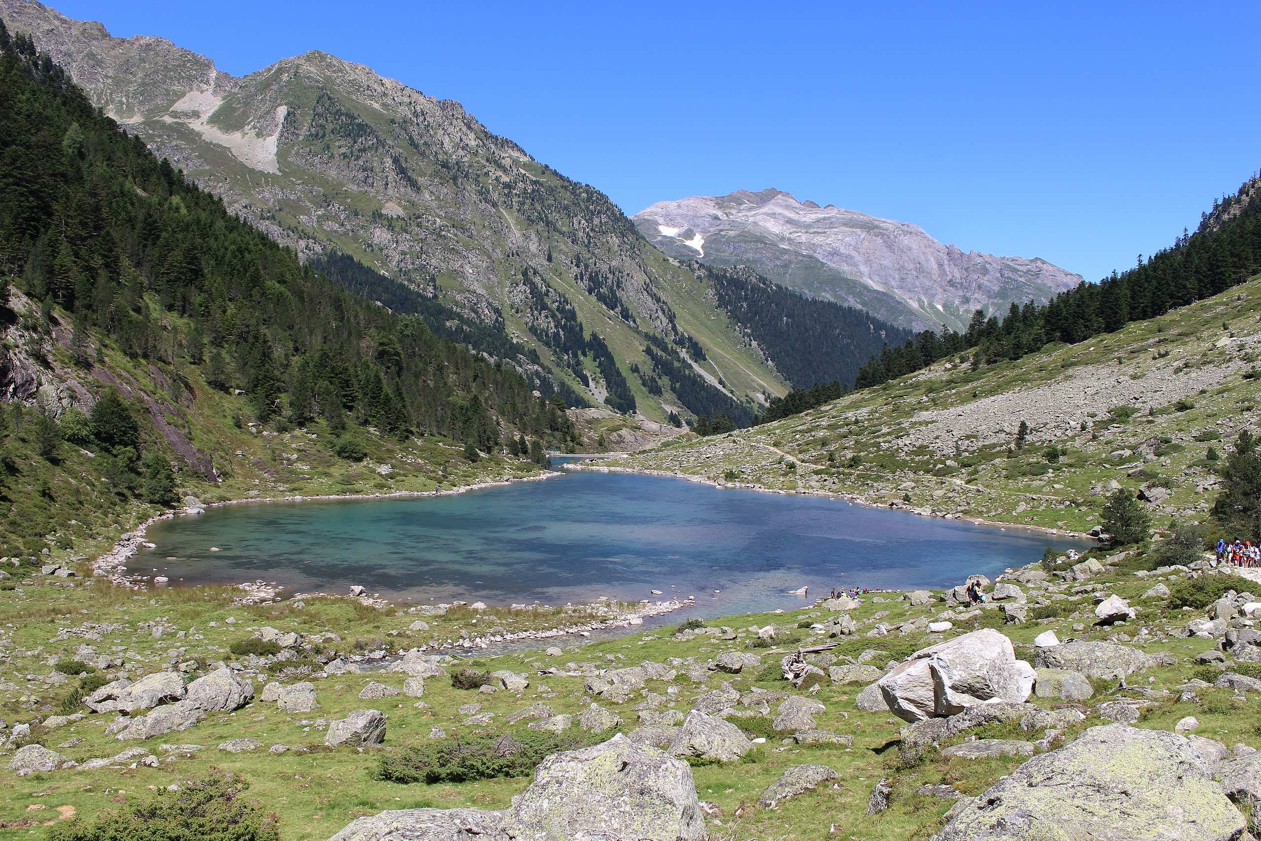
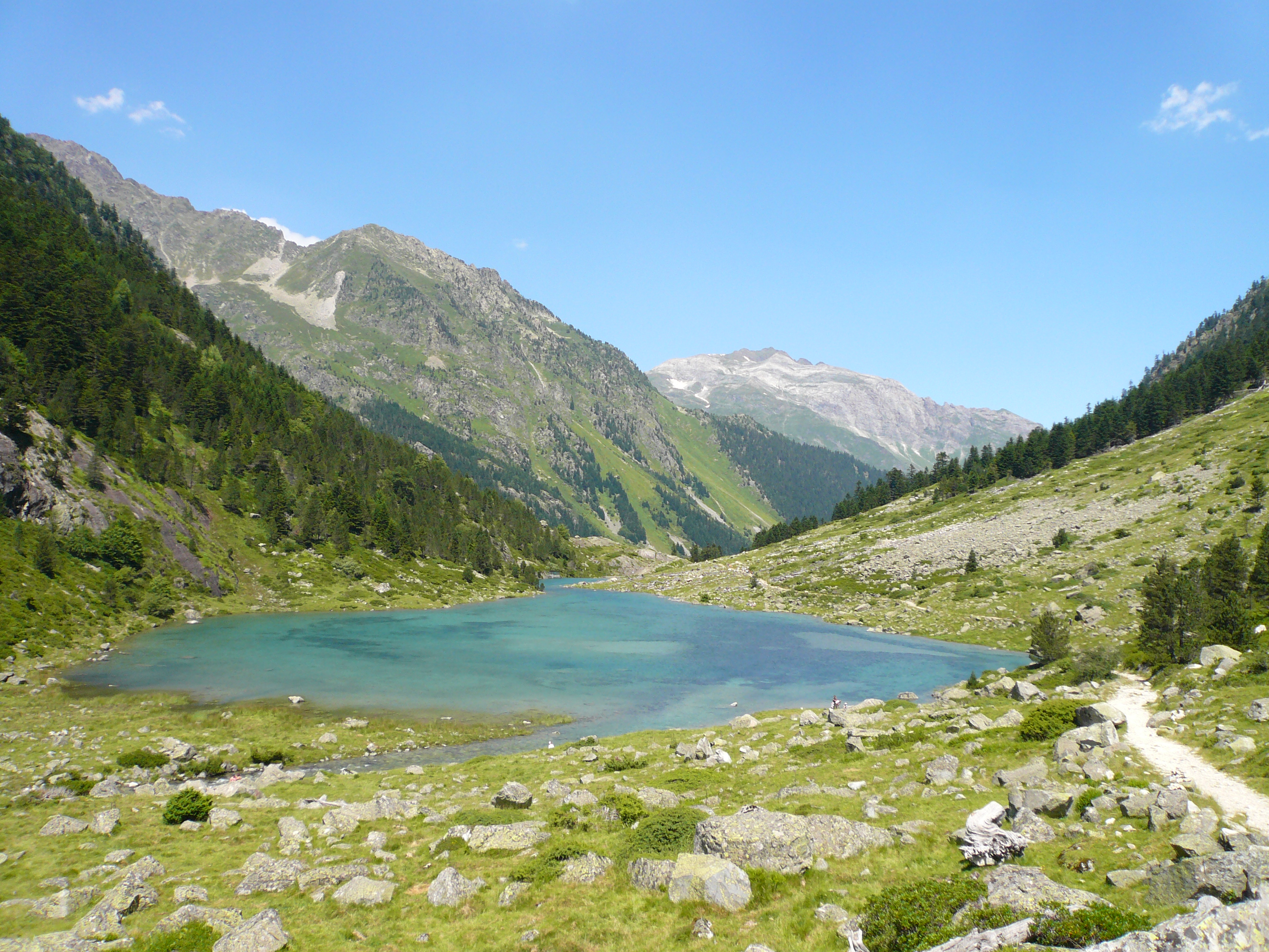
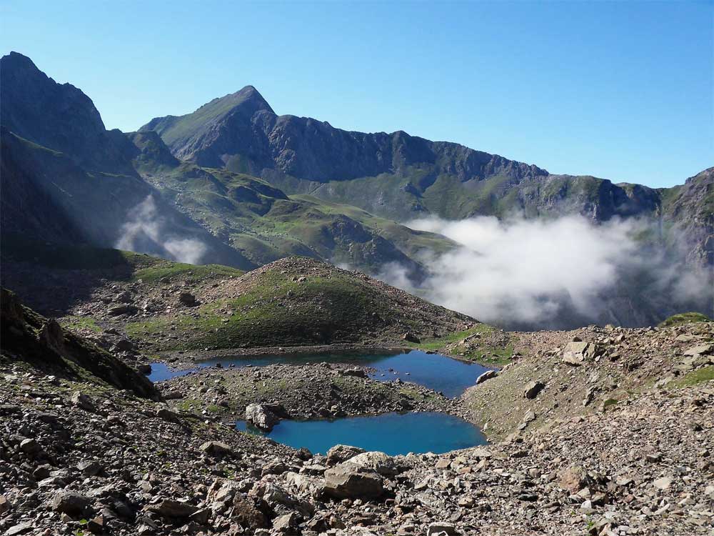
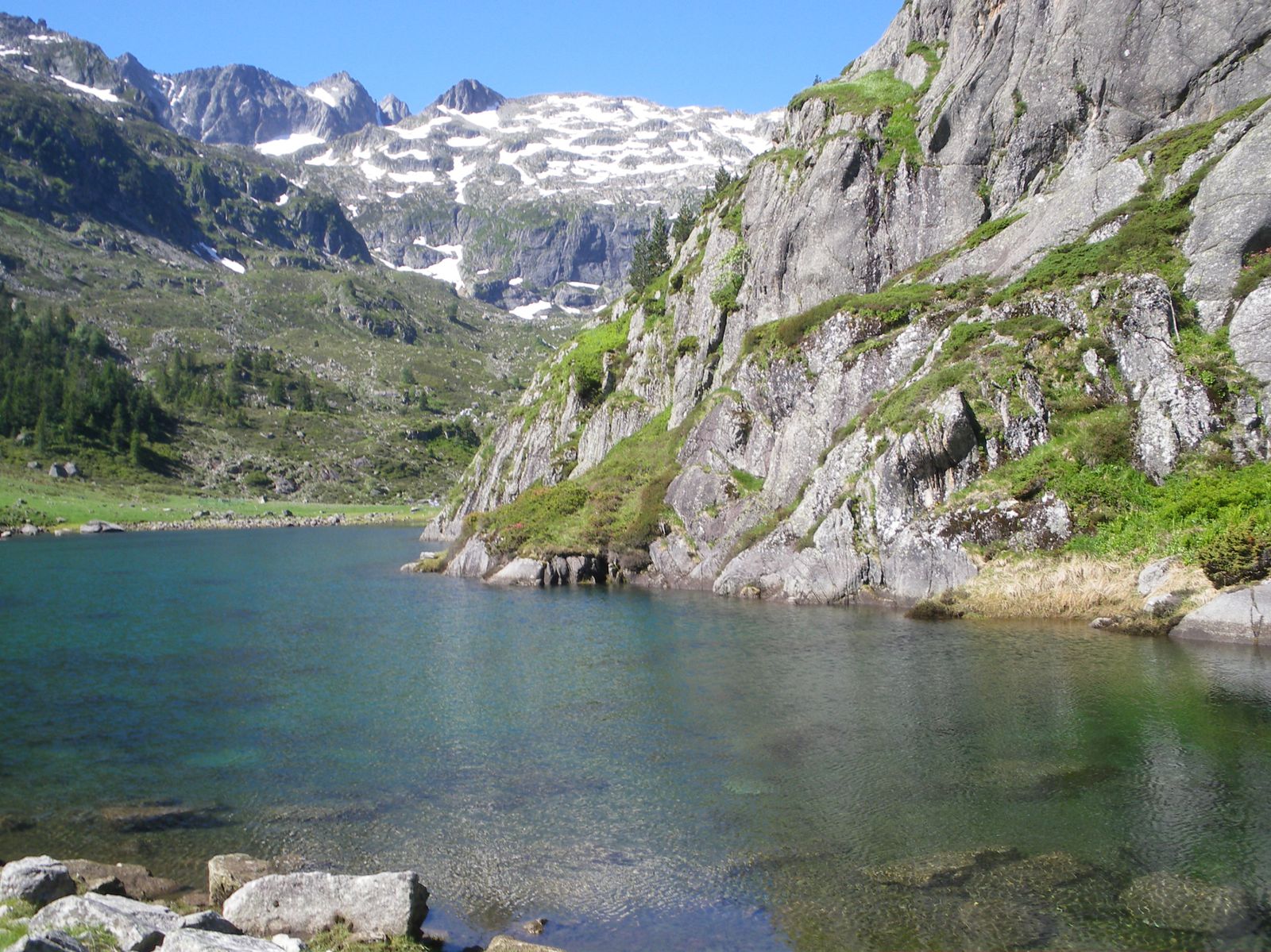
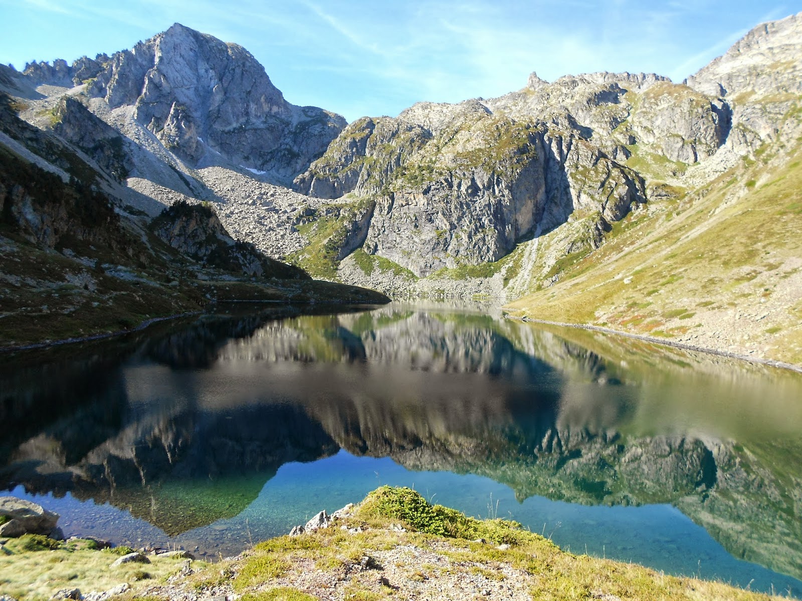
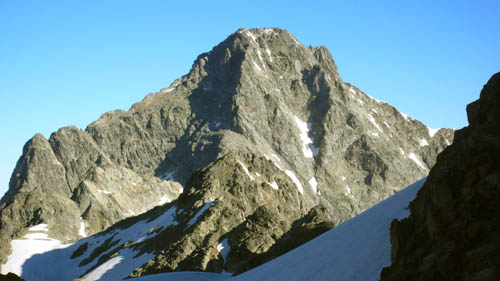
Round trip to Balaïtous (3144 m), which also allows you to discover the lakes of Suyen and Batcrabère.

Already more than 200,000 users!
Uphill
1721m
Highest point
3070m
Downhill
1721m
Lowest point
1494m
Route type
There and back
Download the map on your smartphone to save battery and rest assured to always keep access to the route, even without signal.
Includes IGN France and Swisstopo.
I indicate whether dogs are allowed or prohibited on this trail
From June to September
0 ratings
Also enjoy:

Already more than 200,000 users!