Uphill
995m
Length
13km
Duration
7h
Elev gain
995m
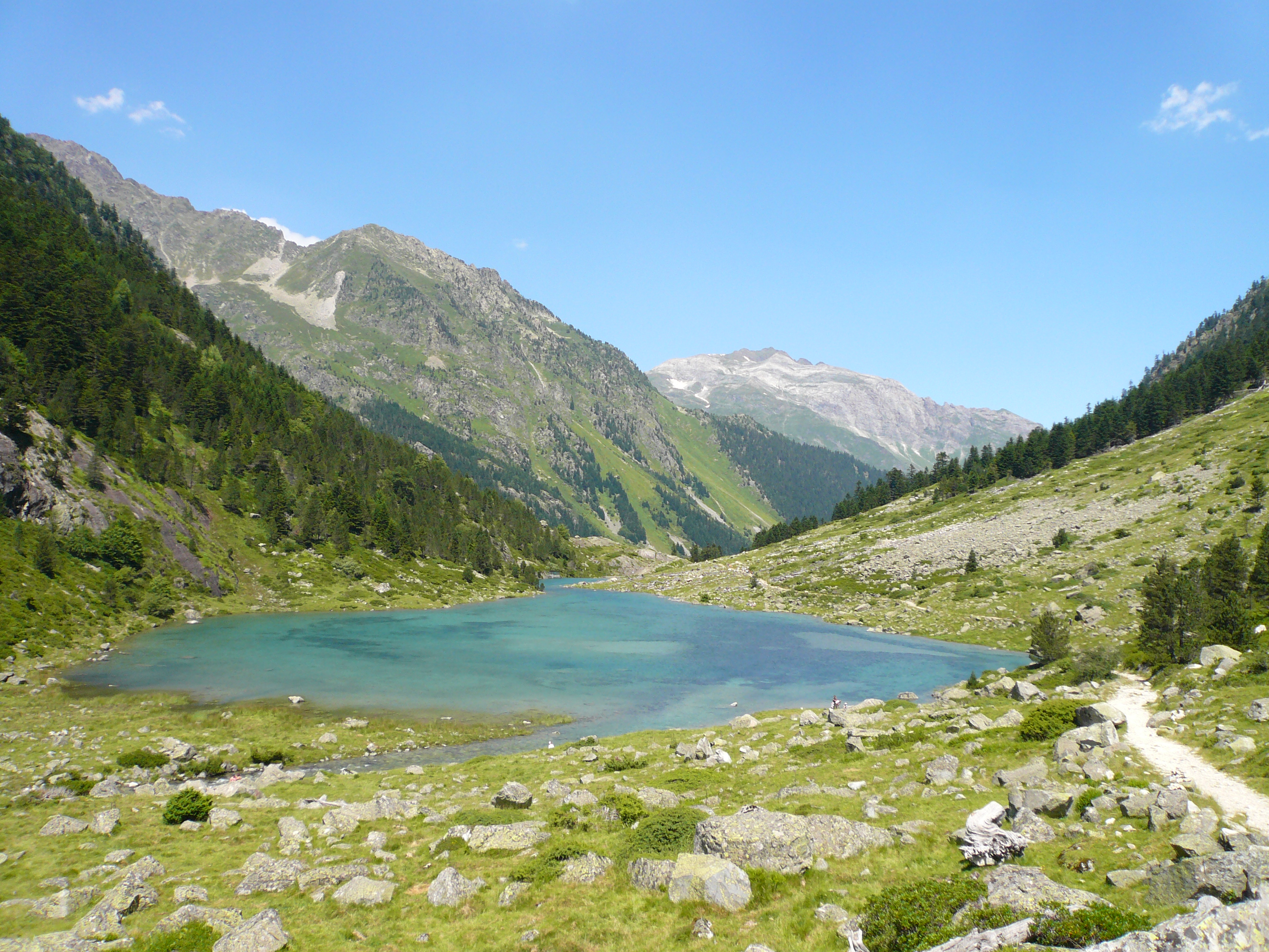
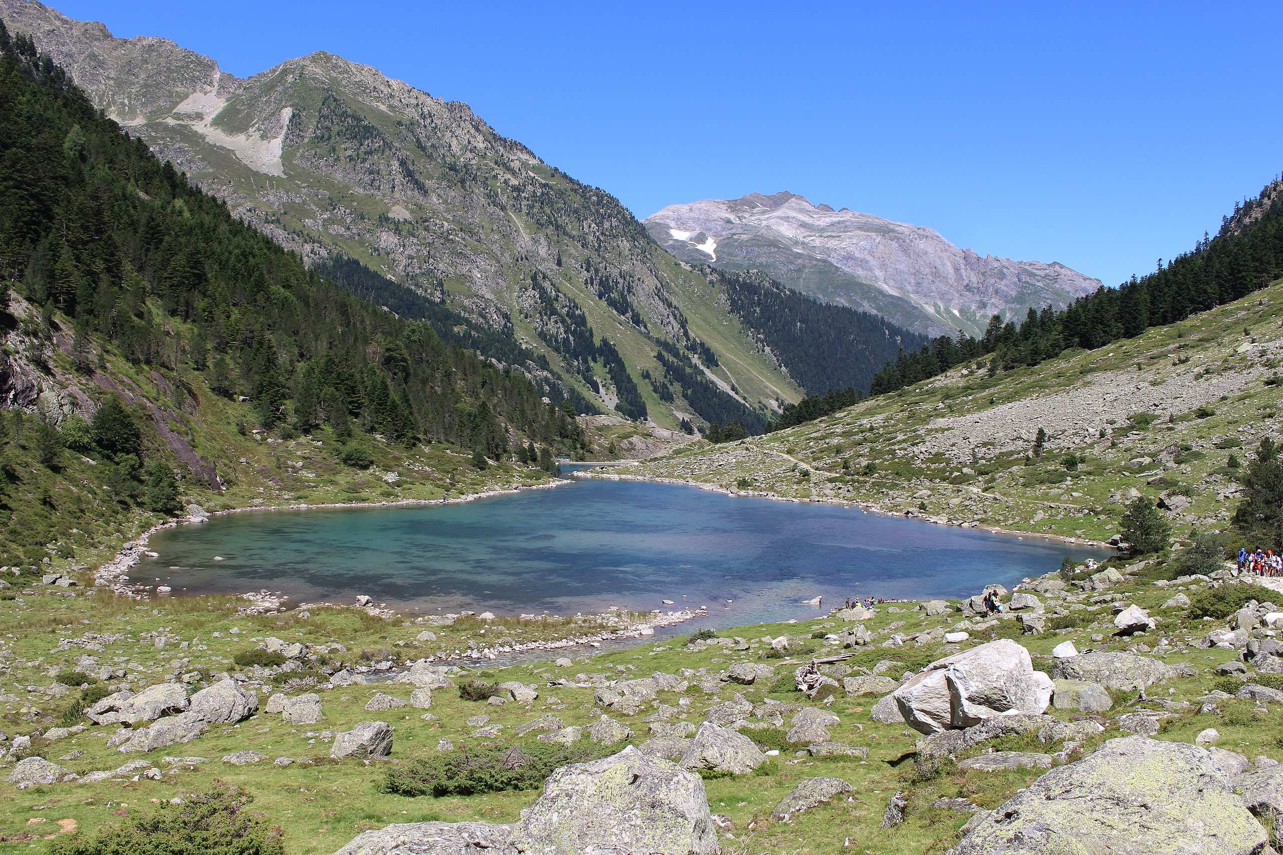
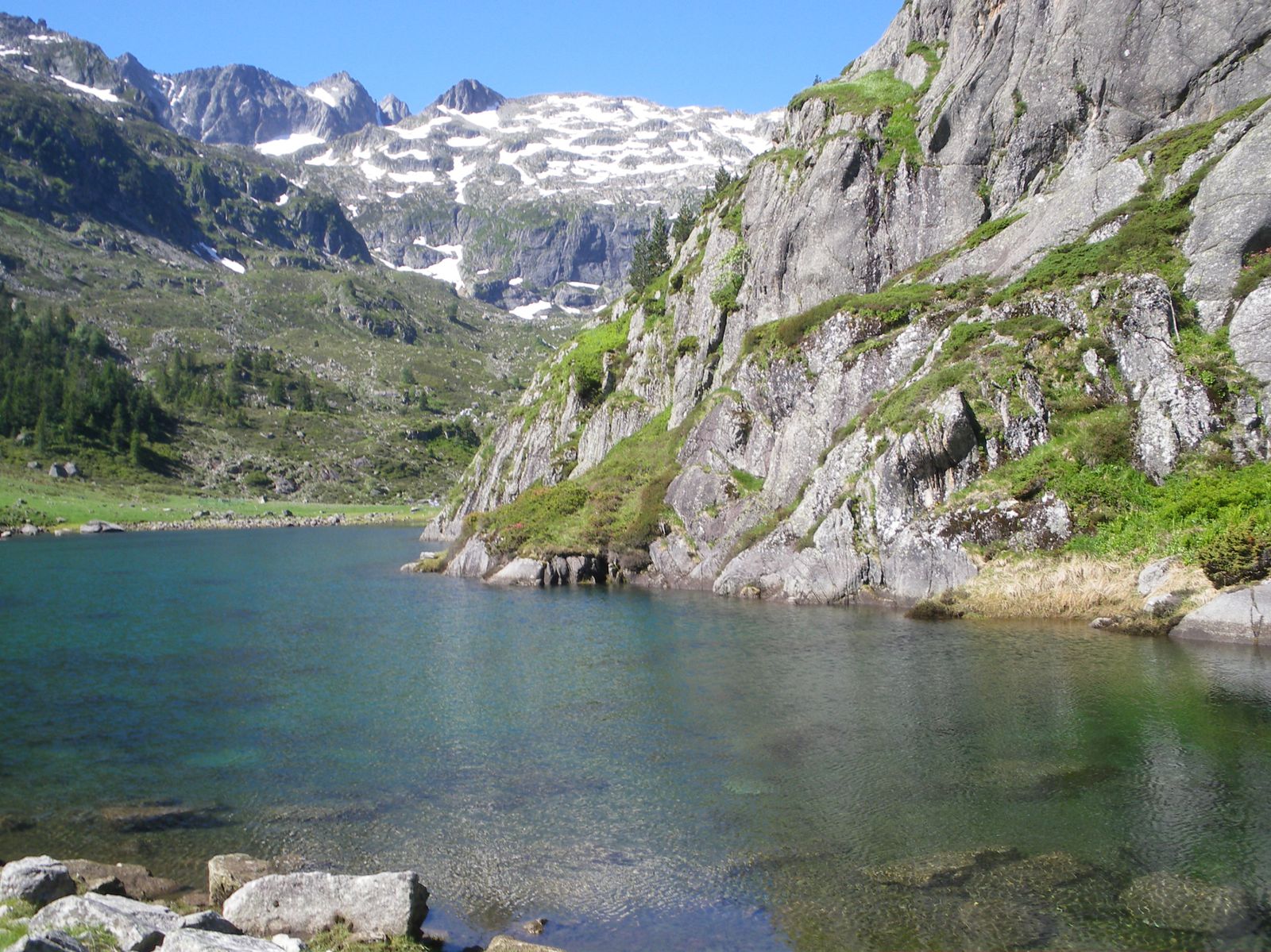
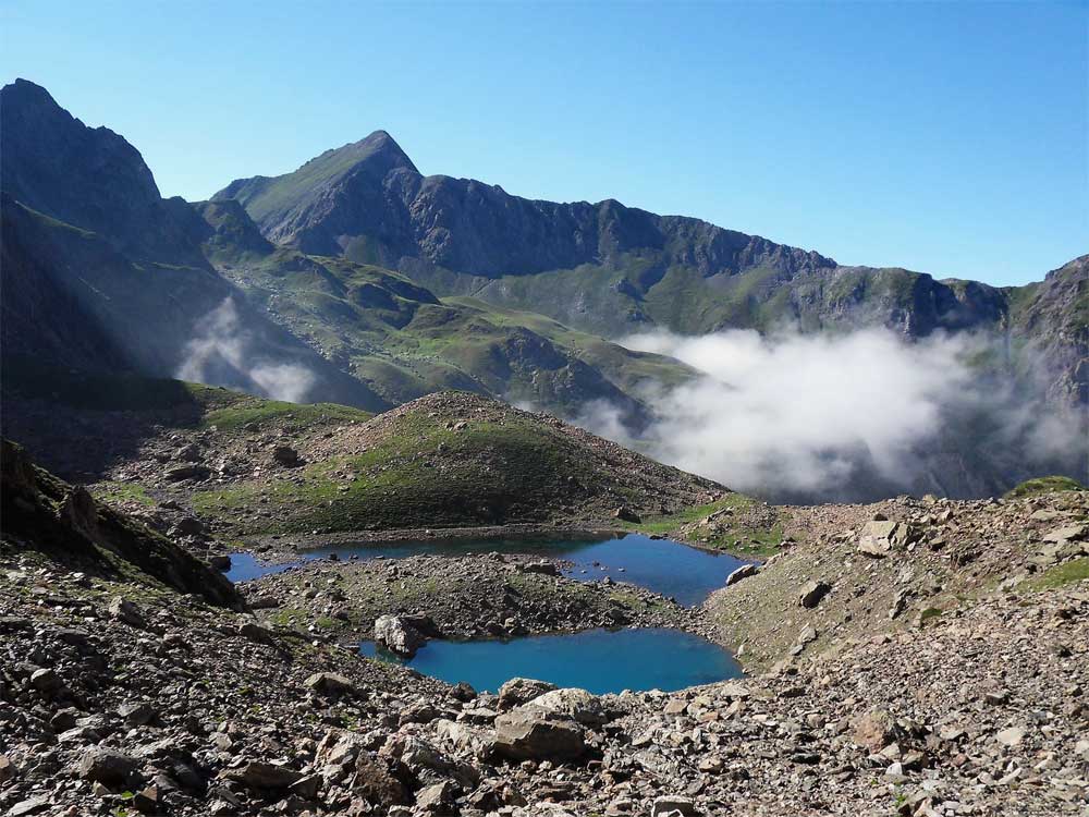
A nice hike starting from the Gave d'Arrens. The climb runs along the Labas stream before emerging on the small lakes of Auseilla. The route takes the Auseilla path both outward and return, in a pleasant setting.

Already more than 200,000 users!
Uphill
995m
Highest point
2202m
Downhill
995m
Lowest point
1215m
Route type
There and back
Download the map on your smartphone to save battery and rest assured to always keep access to the route, even without signal.
Includes IGN France and Swisstopo.
I indicate whether dogs are allowed or prohibited on this trail
From May to September
0 ratings
Also enjoy:

Already more than 200,000 users!