Uphill
724m
Length
15km
Duration
5h30min
Elev gain
724m
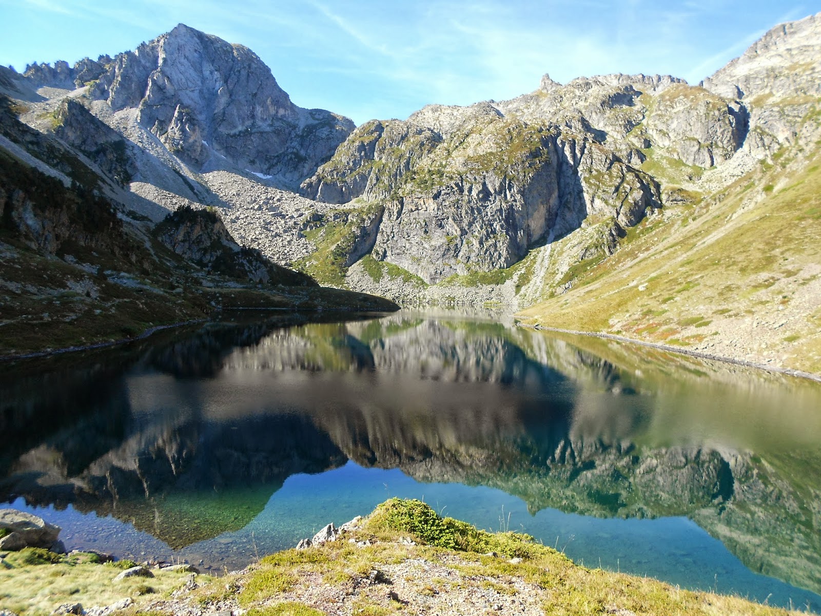
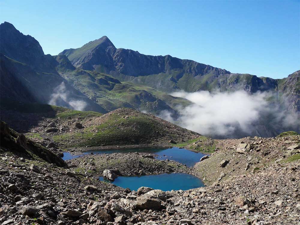
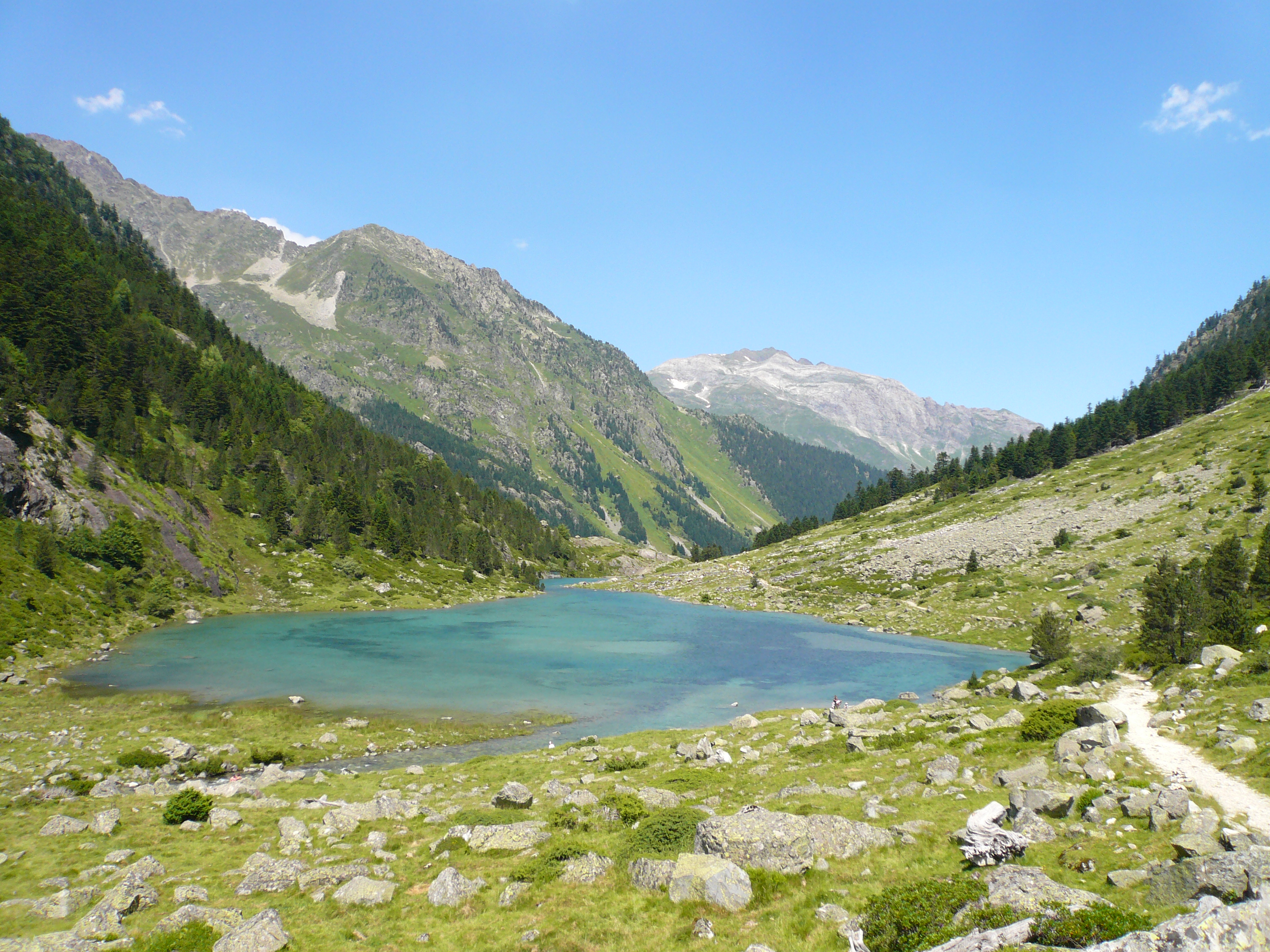
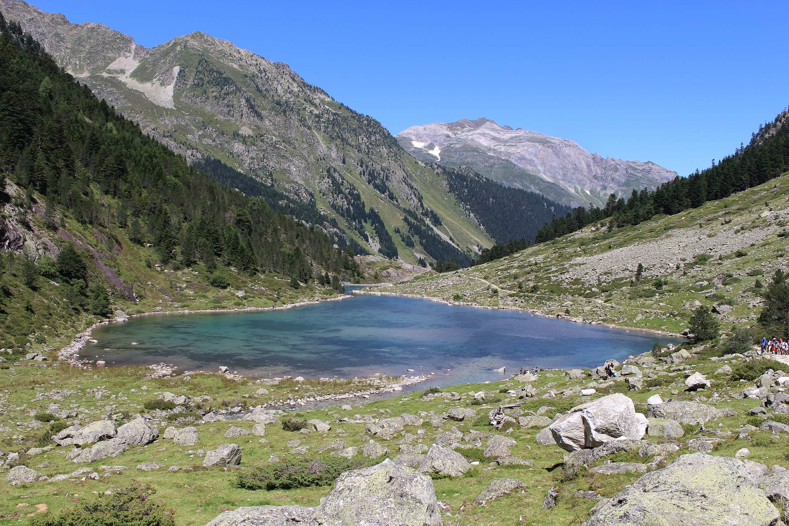
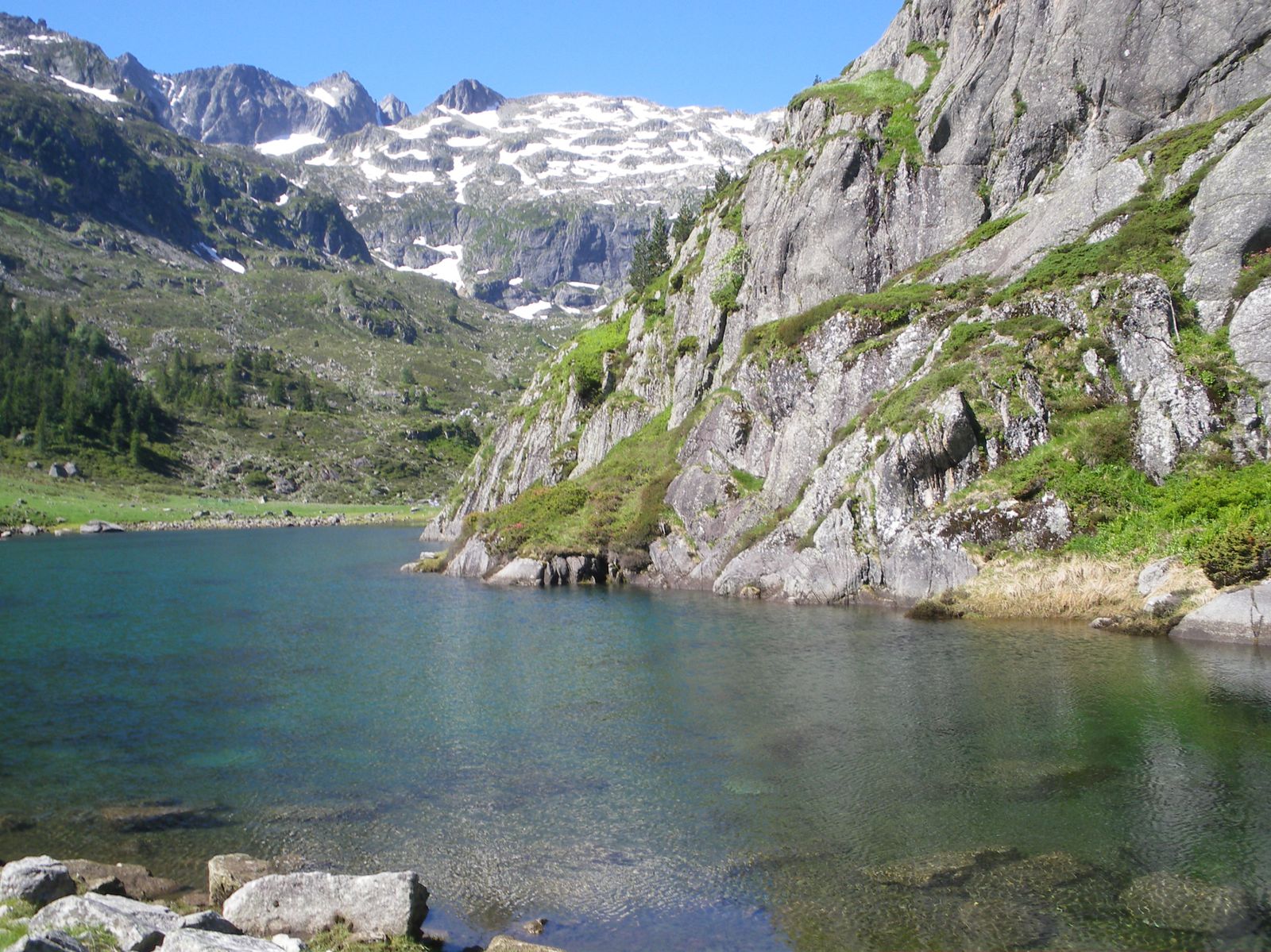
Round trip hike to Liantran lakes, passing through Langle and Plaa de Prat lakes.
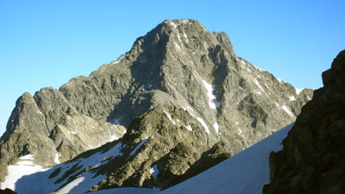
Torrents, waterfalls, ibex, chamois ... We don't always know where to look first.

Already more than 200,000 users!
Uphill
724m
Highest point
1817m
Downhill
724m
Lowest point
1166m
Route type
There and back
Download the map on your smartphone to save battery and rest assured to always keep access to the route, even without signal.
Includes IGN France and Swisstopo.
I indicate whether dogs are allowed or prohibited on this trail
From May to October
1 rating
Also enjoy:

Already more than 200,000 users!