Uphill
196m

Length
6km
Duration
2h
Elev gain
196m
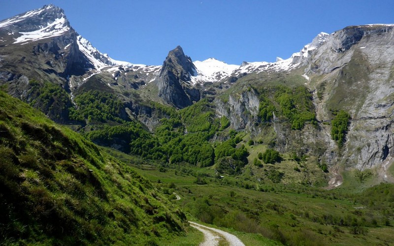
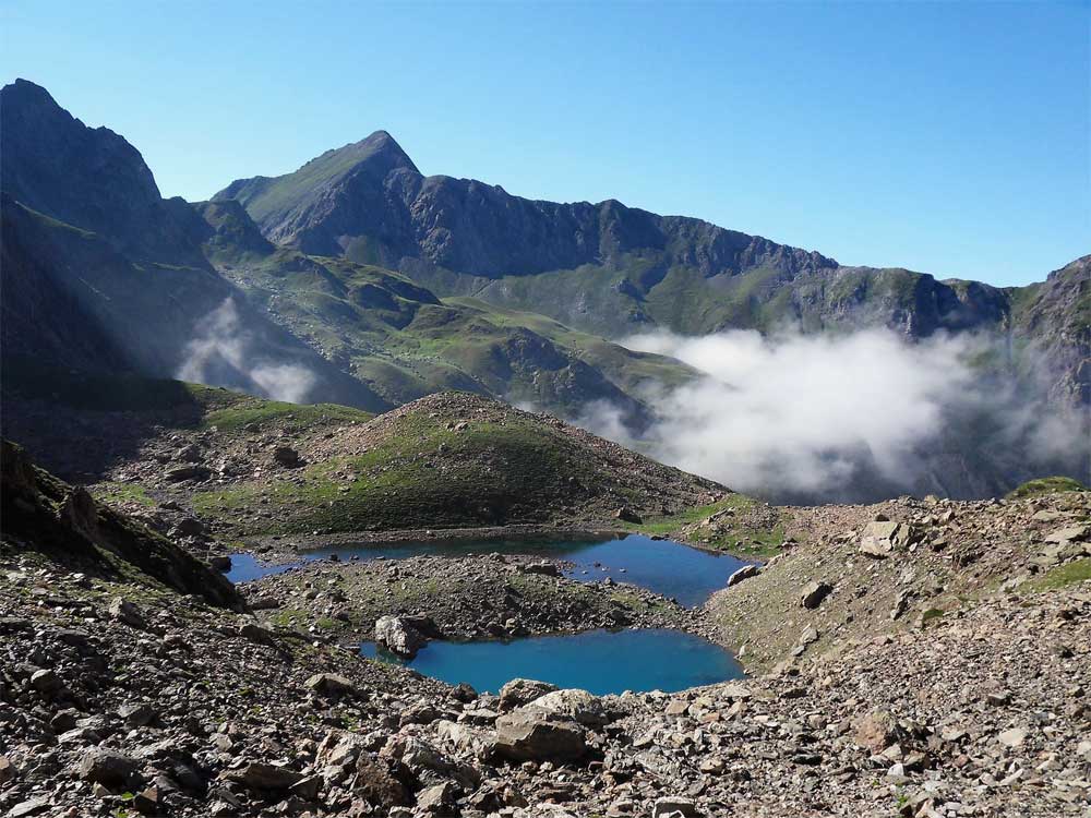
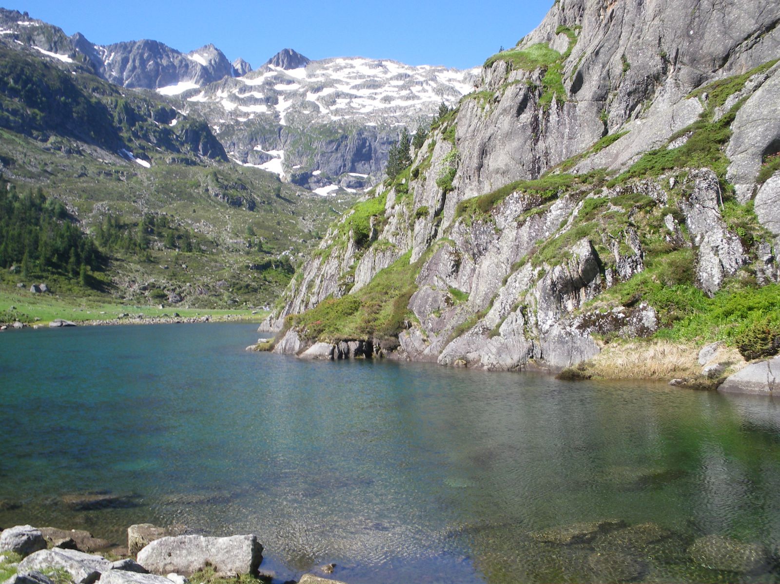
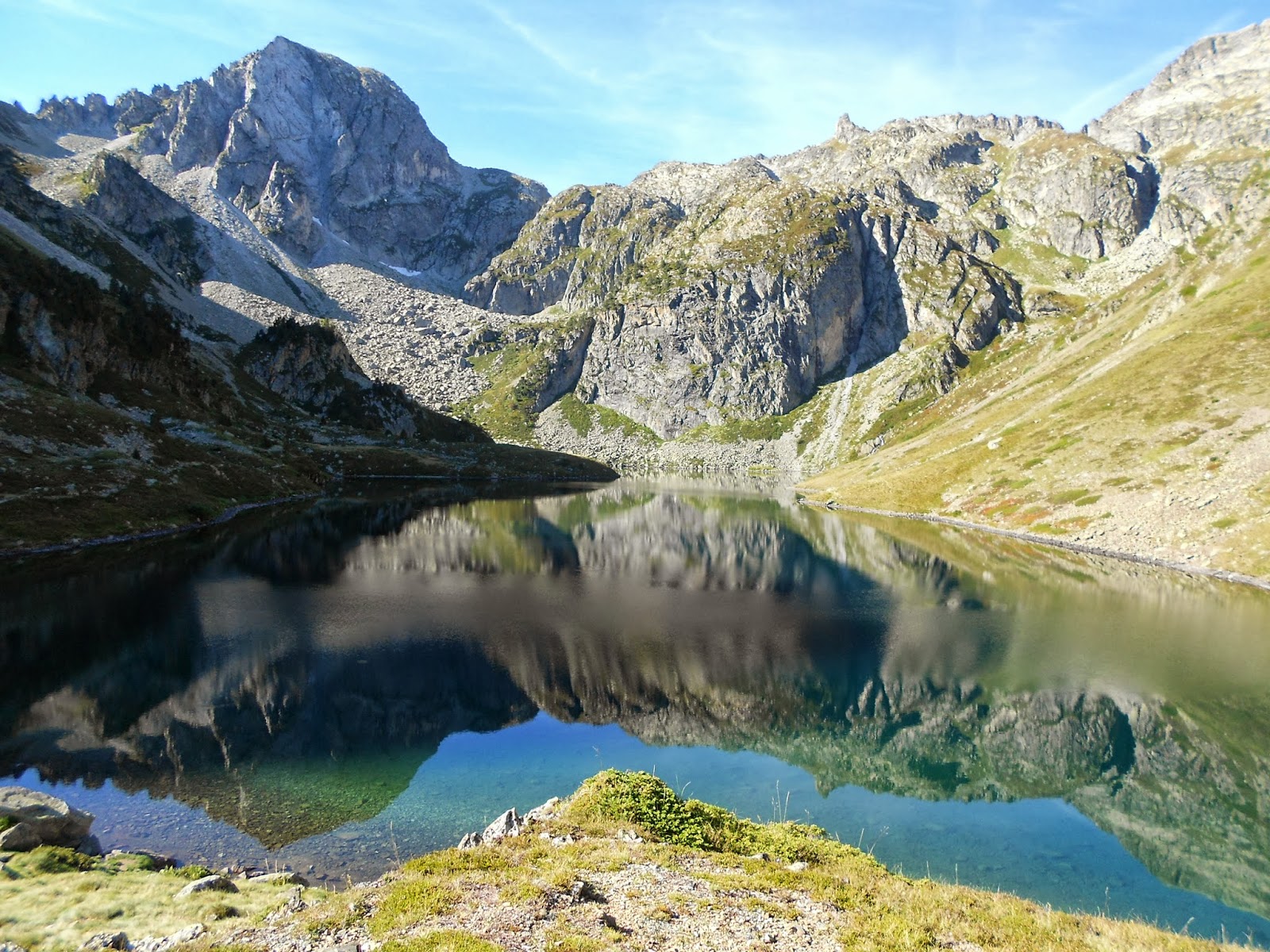
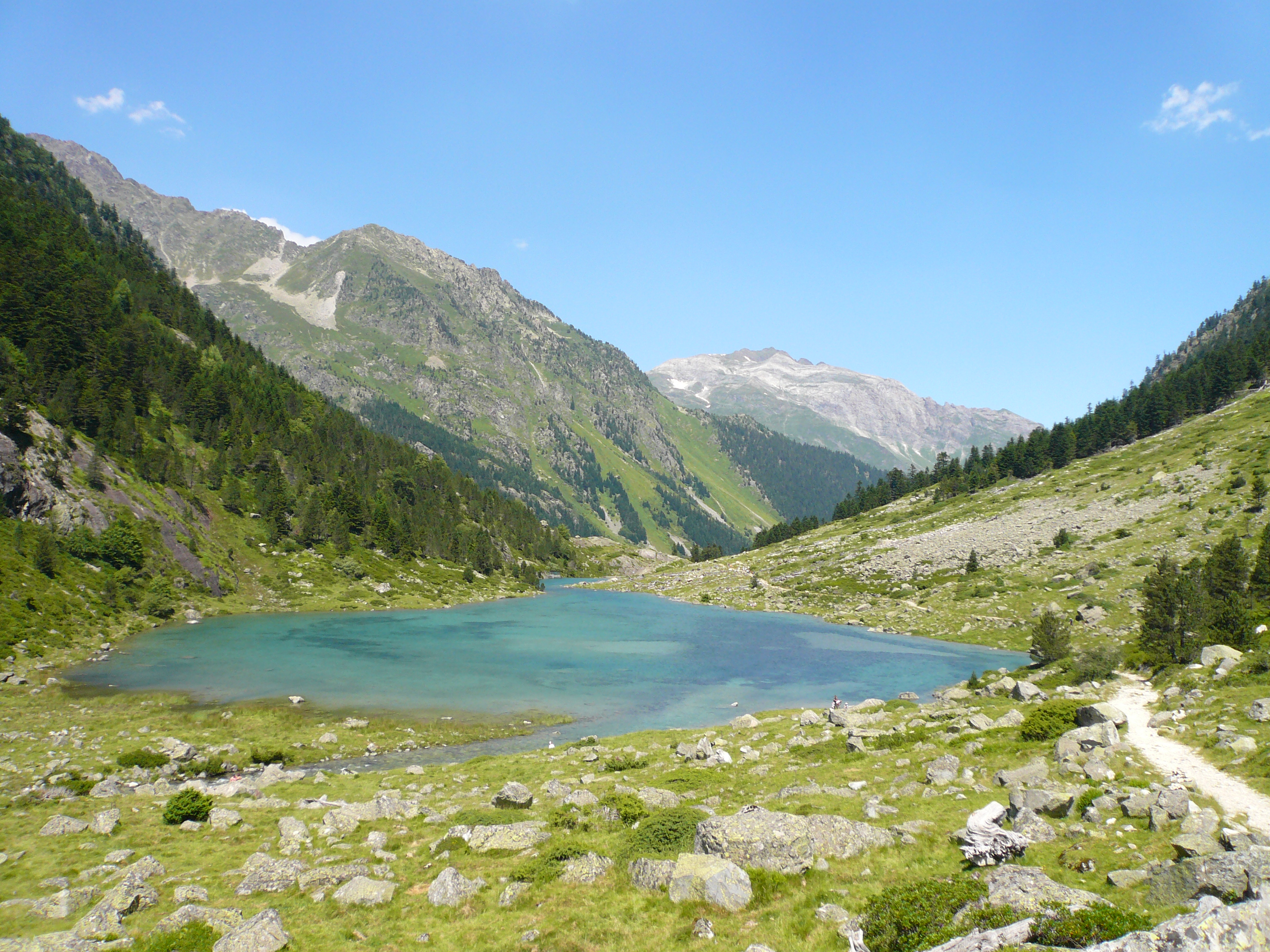
Departing from the Soulor Pass, this is an easy walk leading to Soum Lake. It allows you to observe some animals when they are out - raptors, sheep, cows, horses.
But above all, this outing offers a nice panorama of the Pyrenees chain.

Already more than 200,000 users!
Uphill
196m
Highest point
1592m
Downhill
196m
Lowest point
1430m
Route type
Loop
Download the map on your smartphone to save battery and rest assured to always keep access to the route, even without signal.
Includes IGN France and Swisstopo.
I indicate whether dogs are allowed or prohibited on this trail
Can be difficult in Winter
3 ratings
Belle balade à faire en famille
Also enjoy:

Already more than 200,000 users!