Uphill
387m
Length
5km
Duration
2h30min
Elev gain
387m
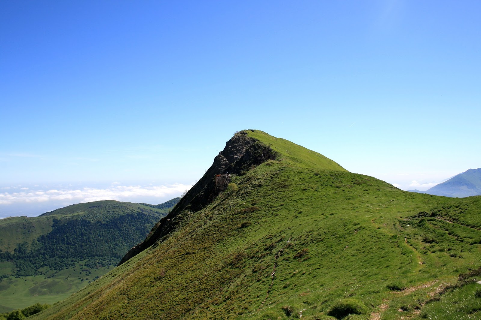
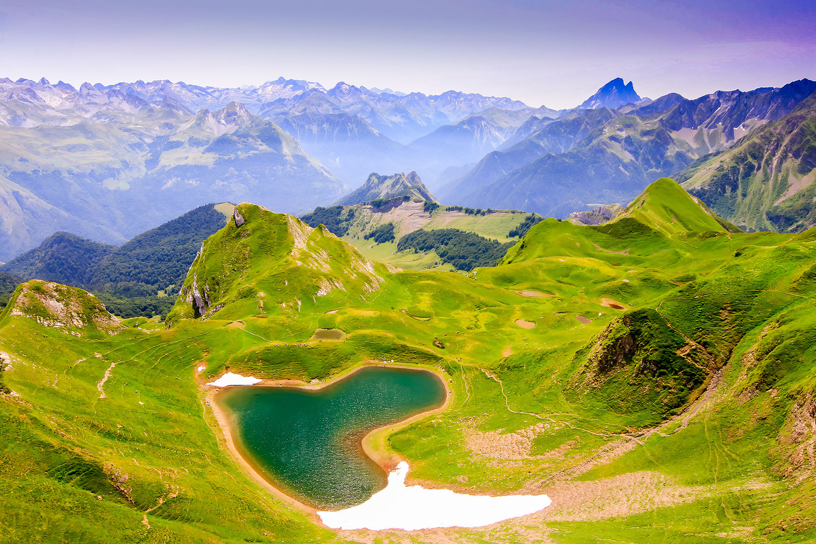
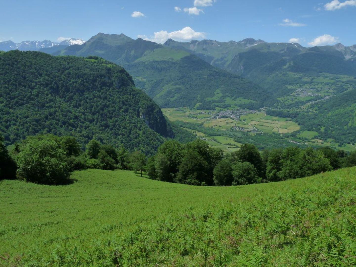
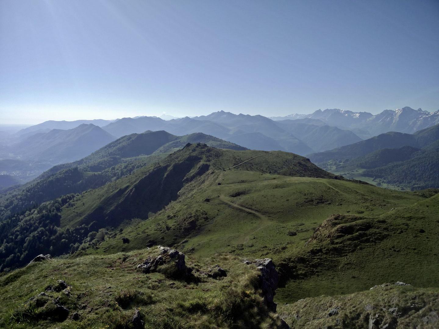
The peak of Escurets is a summit easily accessible from the Col de Marie-Blanque, with a there and back trail. Due to its location on the edge of the Pyrenees, its summit offers a magnificent panorama from the Basque Country to Bigorre, passing through Pau and Lourdes.

Already more than 200,000 users!
Uphill
387m
Highest point
1423m
Downhill
387m
Lowest point
1029m
Route type
There and back
Download the map on your smartphone to save battery and rest assured to always keep access to the route, even without signal.
Includes IGN France and Swisstopo.
I indicate whether dogs are allowed or prohibited on this trail
Can be difficult in Winter
2 ratings
Also enjoy:

Already more than 200,000 users!