Uphill
666m
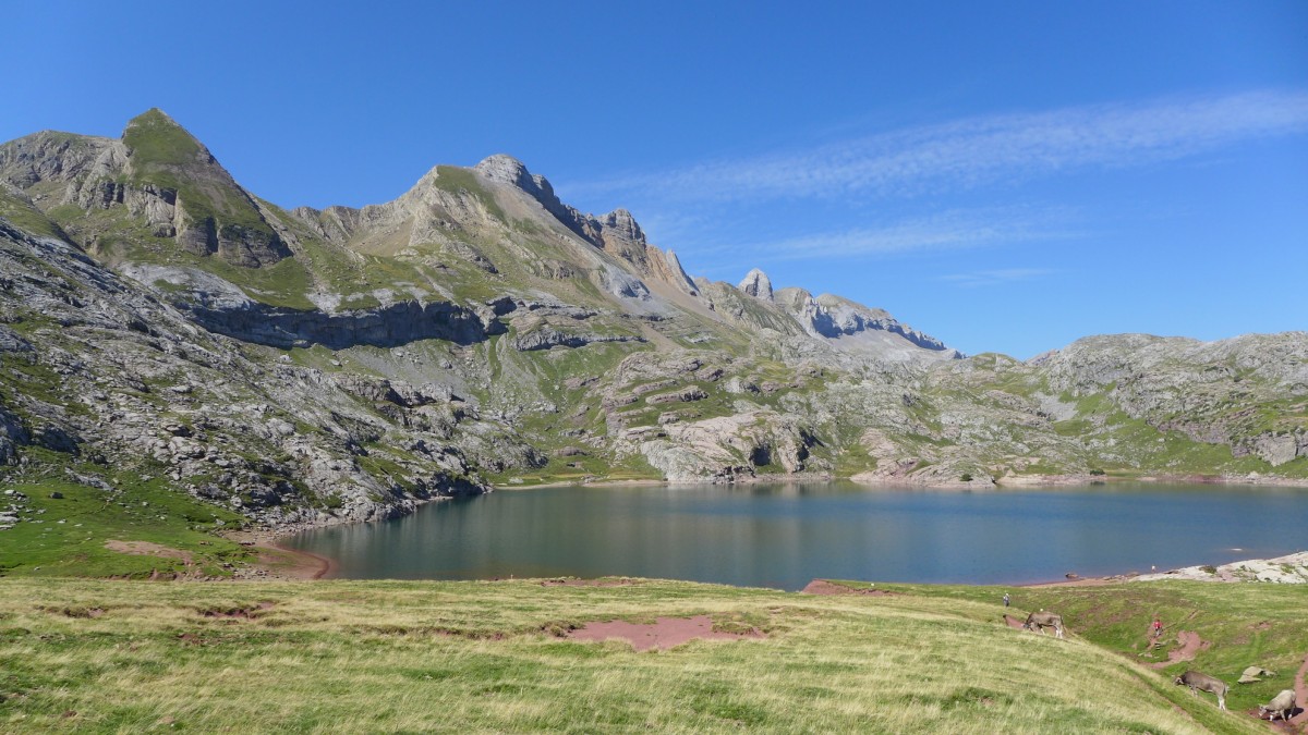
France > Nouvelle-Aquitaine > Pyrénées-Atlantiques > Pyrénées National Park
Length
11km
Duration
5h
Elev gain
666m
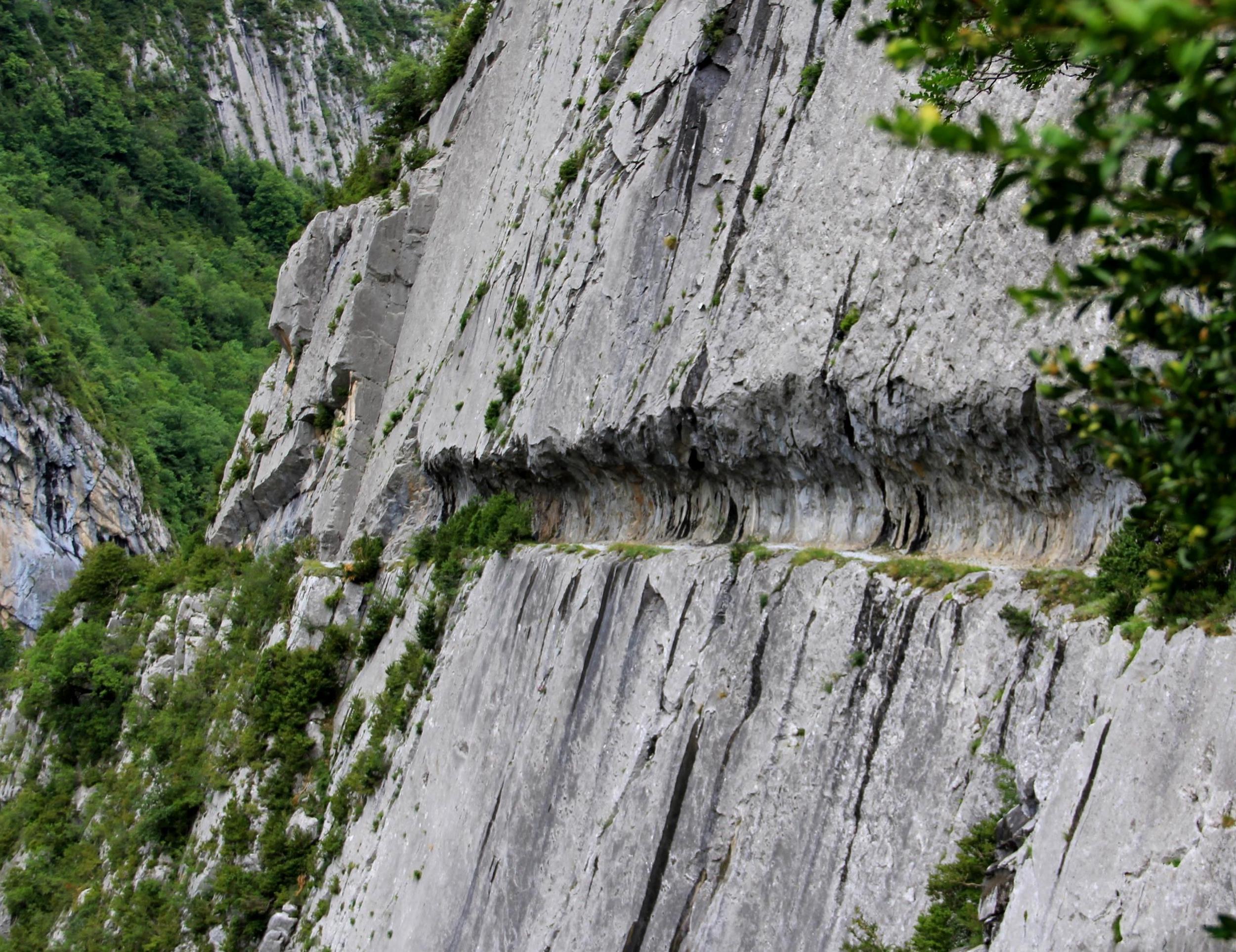
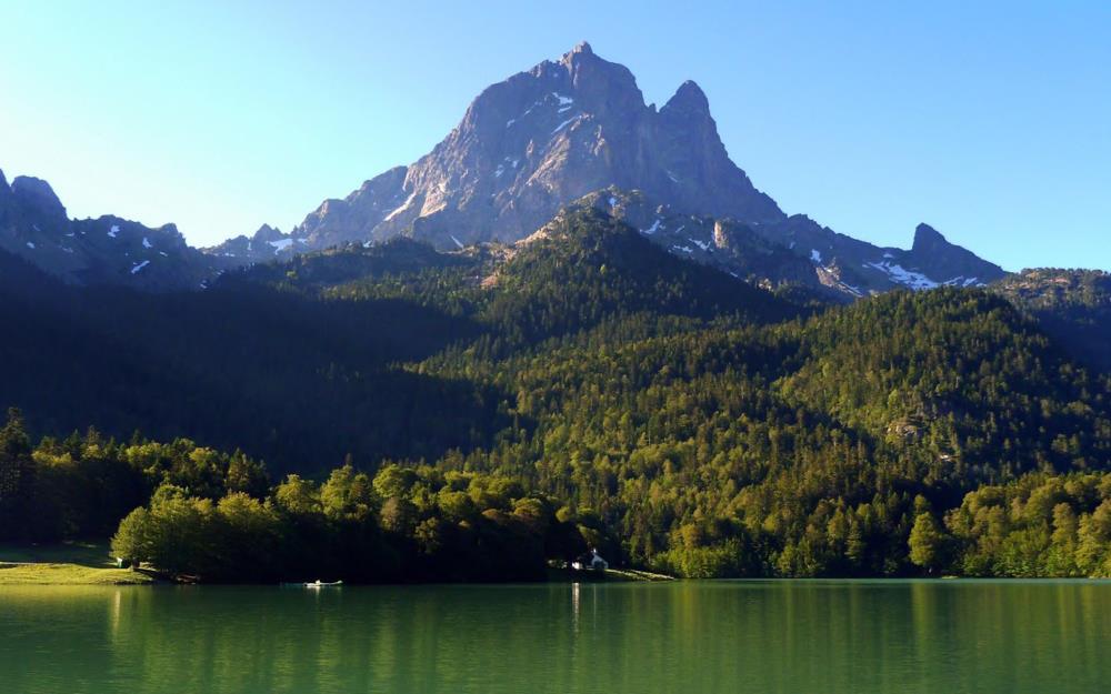
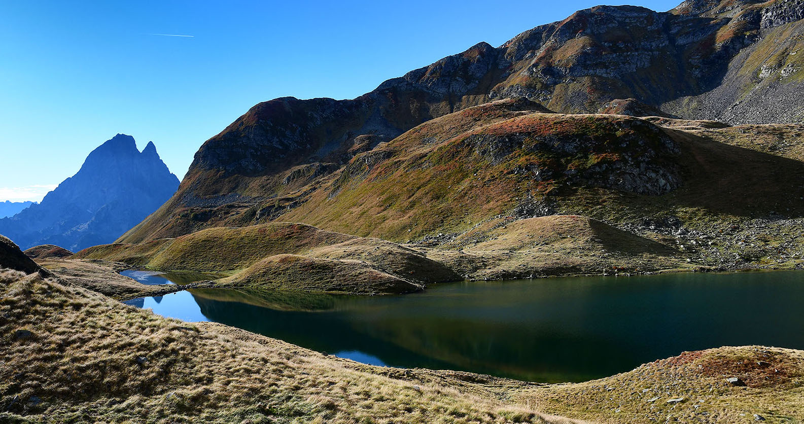
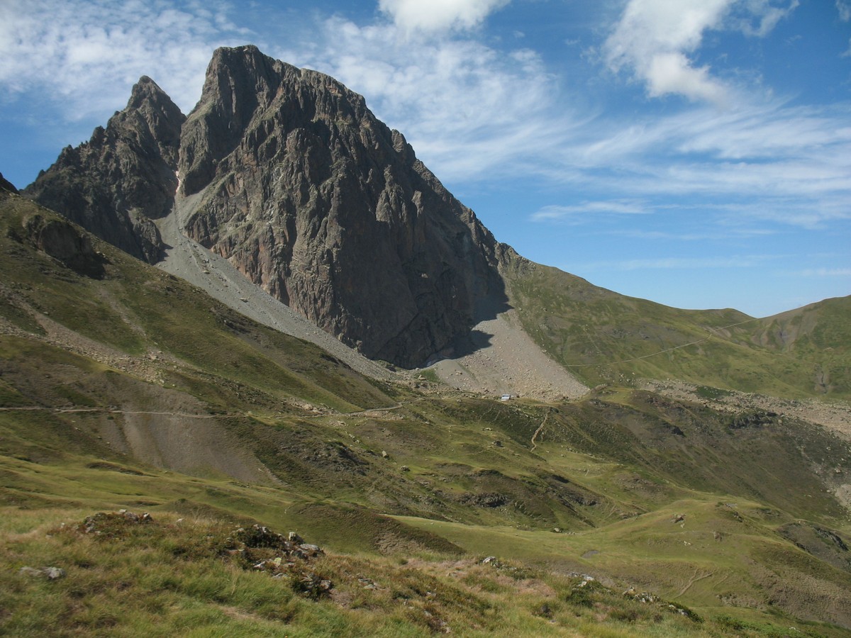
In the heart of the Aragonese Pyrenees, this hike leads to Lake Estaëns. On the outward journey, the path passes close to the Cazaux hut and continues through the meadows. Once at the lake, the scenery is spectacular. The return is mainly in the forest.
Note that this hike crosses the France-Spain border.

Already more than 200,000 users!
Uphill
666m
Highest point
1804m
Downhill
666m
Lowest point
1326m
Route type
Loop
Download the map on your smartphone to save battery and rest assured to always keep access to the route, even without signal.
Includes IGN France and Swisstopo.
0 ratings
Also enjoy:

Already more than 200,000 users!