Uphill
791m
Length
11km
Duration
5h30min
Elev gain
791m
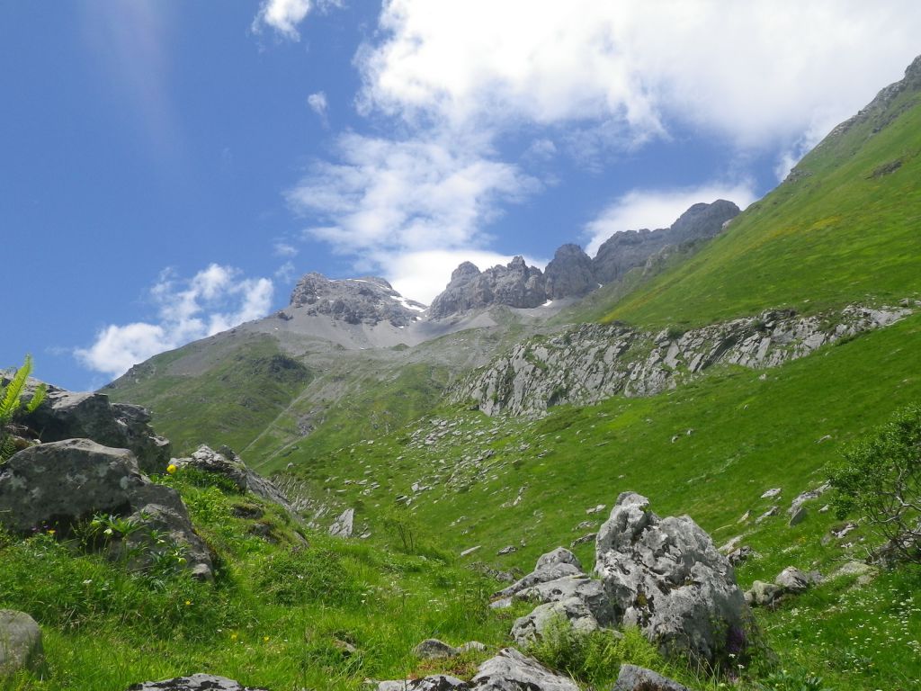
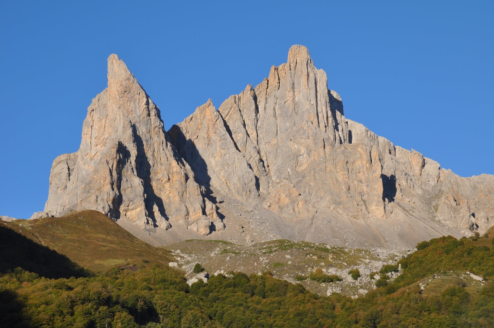
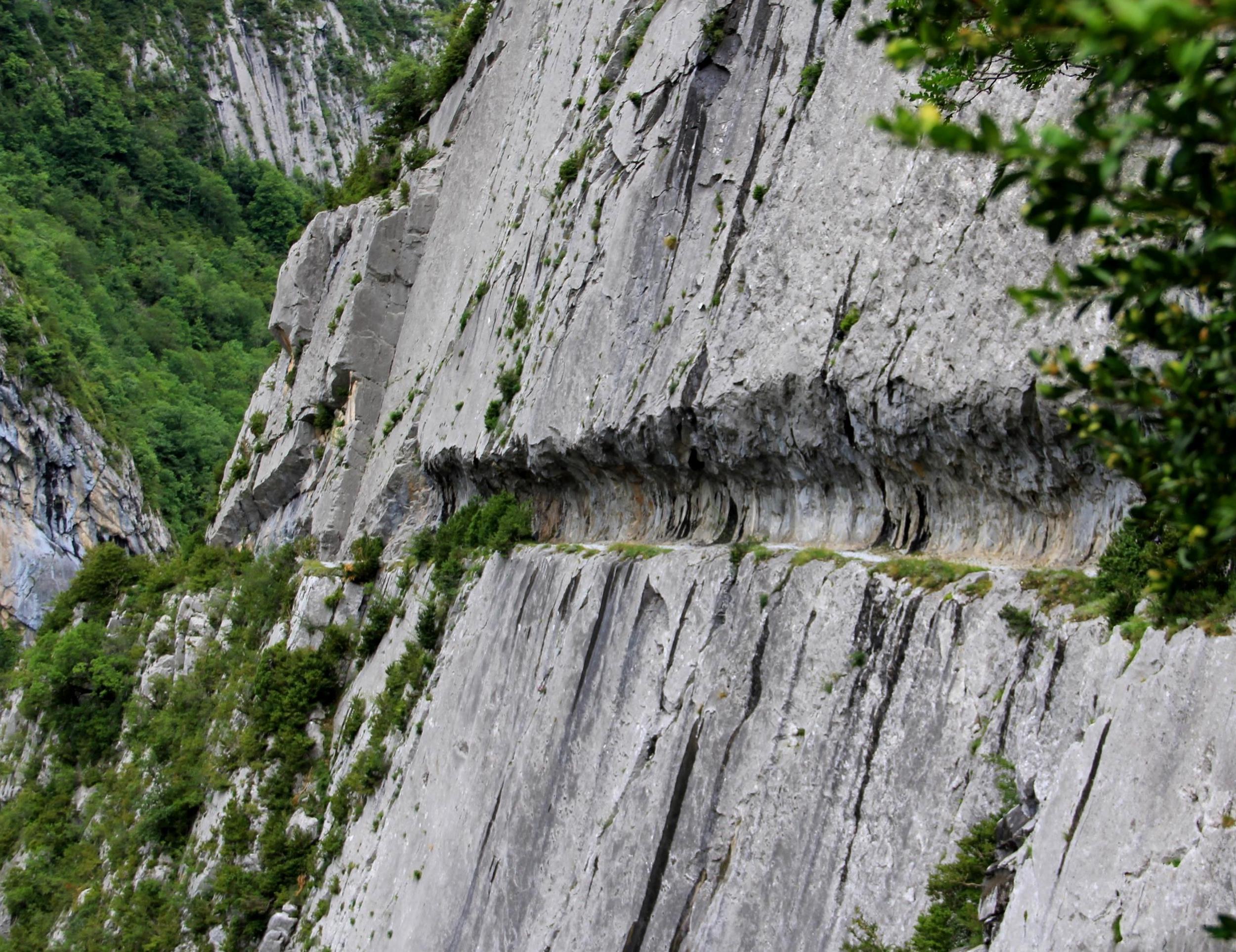
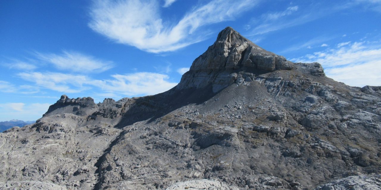
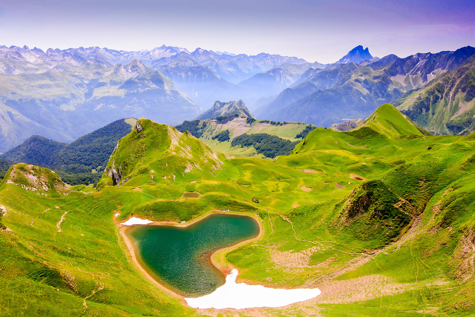
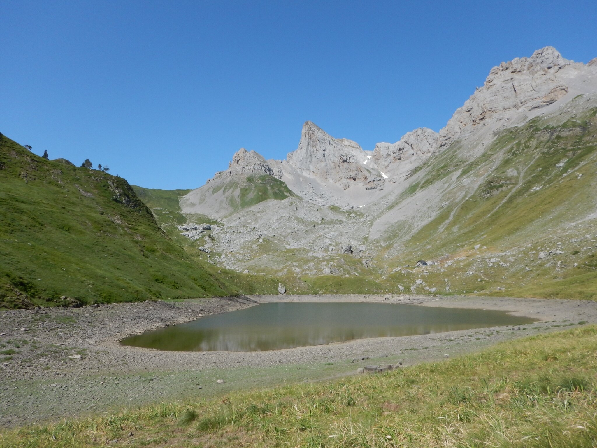
Here is a hike with a varied route, alternating between meadows, forest and a mineral cirque. In a majestic setting, the path leads to Lake Lhurs, at an altitude of 1,691 metres.

Already more than 200,000 users!
Uphill
791m
Highest point
1736m
Downhill
791m
Lowest point
1000m
Route type
There and back
Download the map on your smartphone to save battery and rest assured to always keep access to the route, even without signal.
Includes IGN France and Swisstopo.
I indicate whether dogs are allowed or prohibited on this trail
From May to October
0 ratings
Also enjoy:

Already more than 200,000 users!