Uphill
1208m
France > Nouvelle-Aquitaine > Pyrénées-Atlantiques
Length
16km
Duration
8h30min
Elev gain
1208m
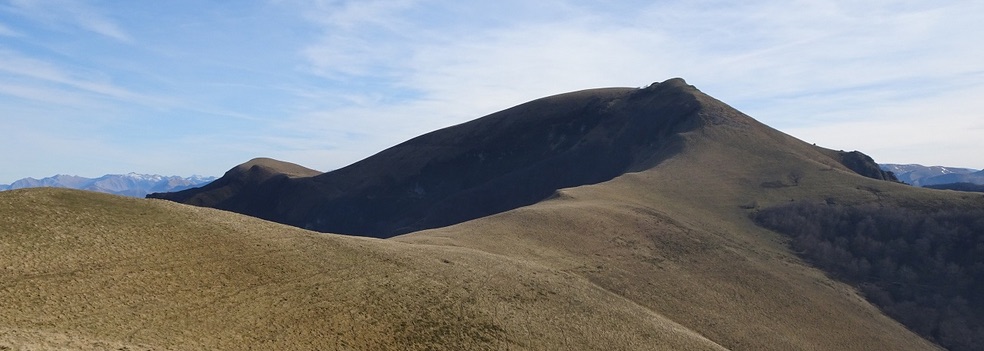
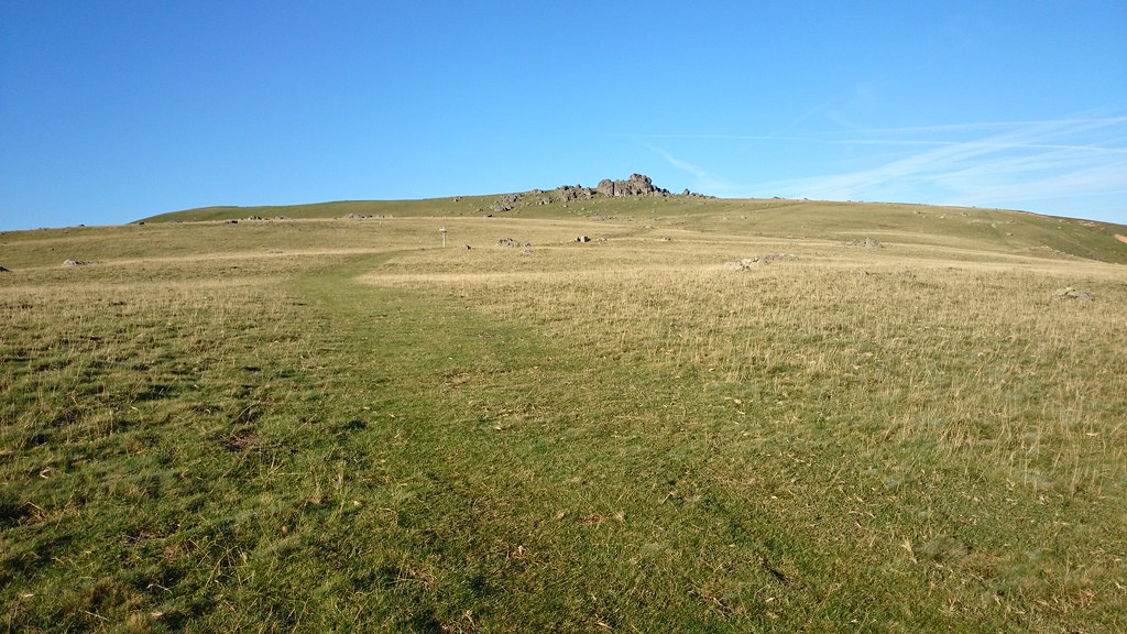
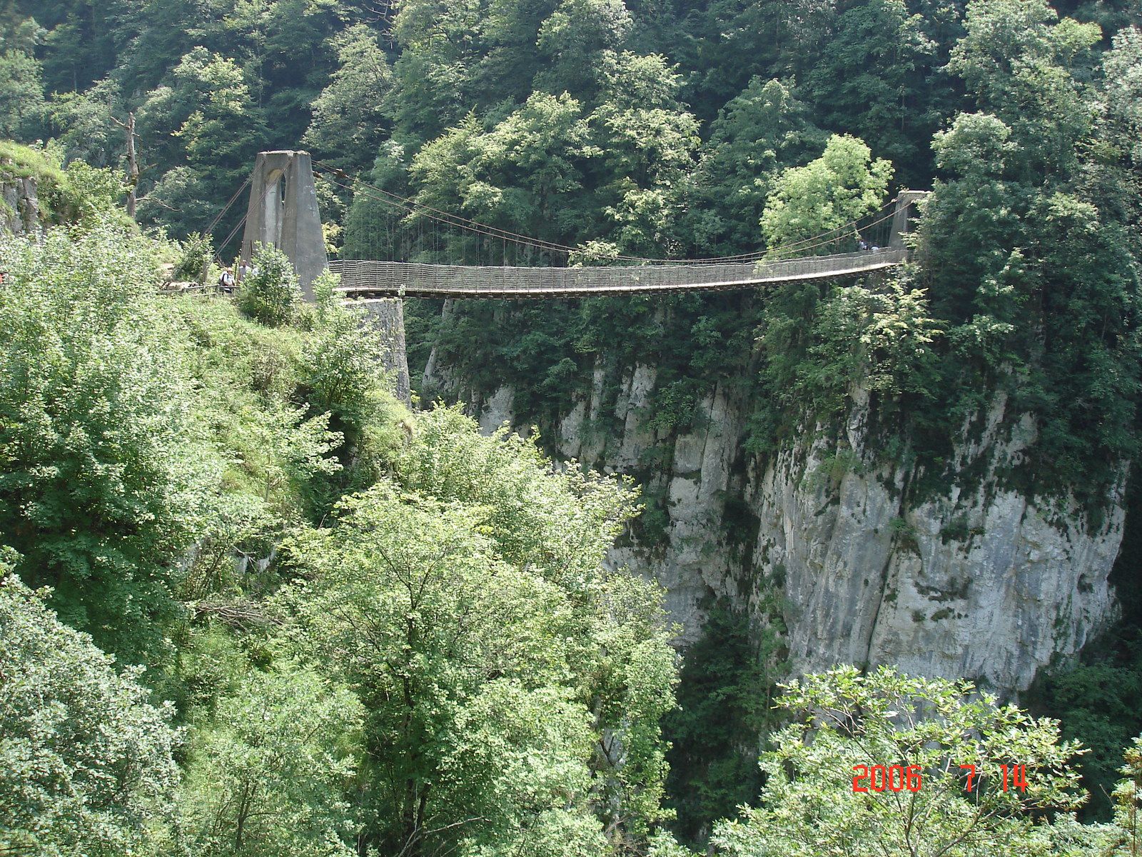
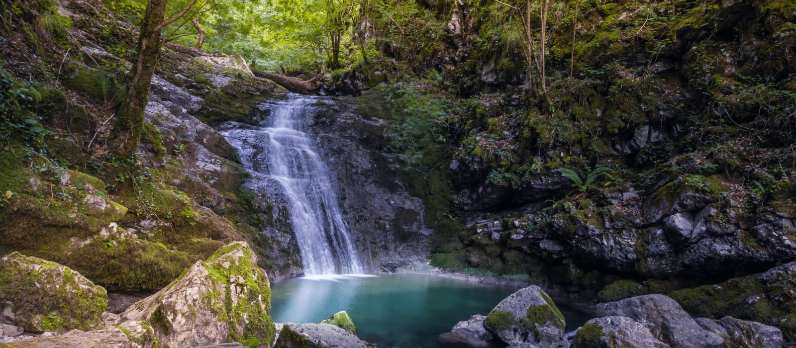
Nice hike to discover the source of the Bidouze and the peak of Etxekortea. In the shade of the trees, the path follows the Bidouze before arriving at its source. Refreshment break before returning to the peak of Etxekortea. The return is by the same path.

Already more than 200,000 users!
Uphill
1208m
Highest point
1192m
Downhill
1208m
Lowest point
249m
Route type
There and back
Download the map on your smartphone to save battery and rest assured to always keep access to the route, even without signal.
Includes IGN France and Swisstopo.
I indicate whether dogs are allowed or prohibited on this trail
Can be difficult in Winter
0 ratings
Also enjoy:

Already more than 200,000 users!