Uphill
42m
Length
4km
Duration
1h
Elev gain
42m
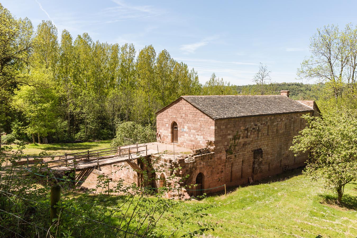
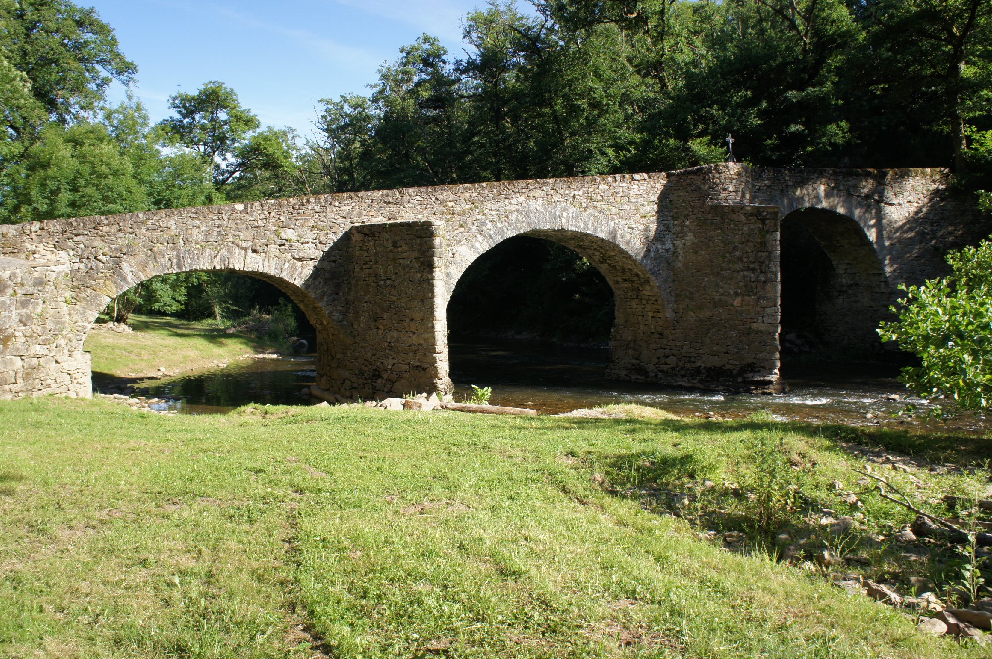
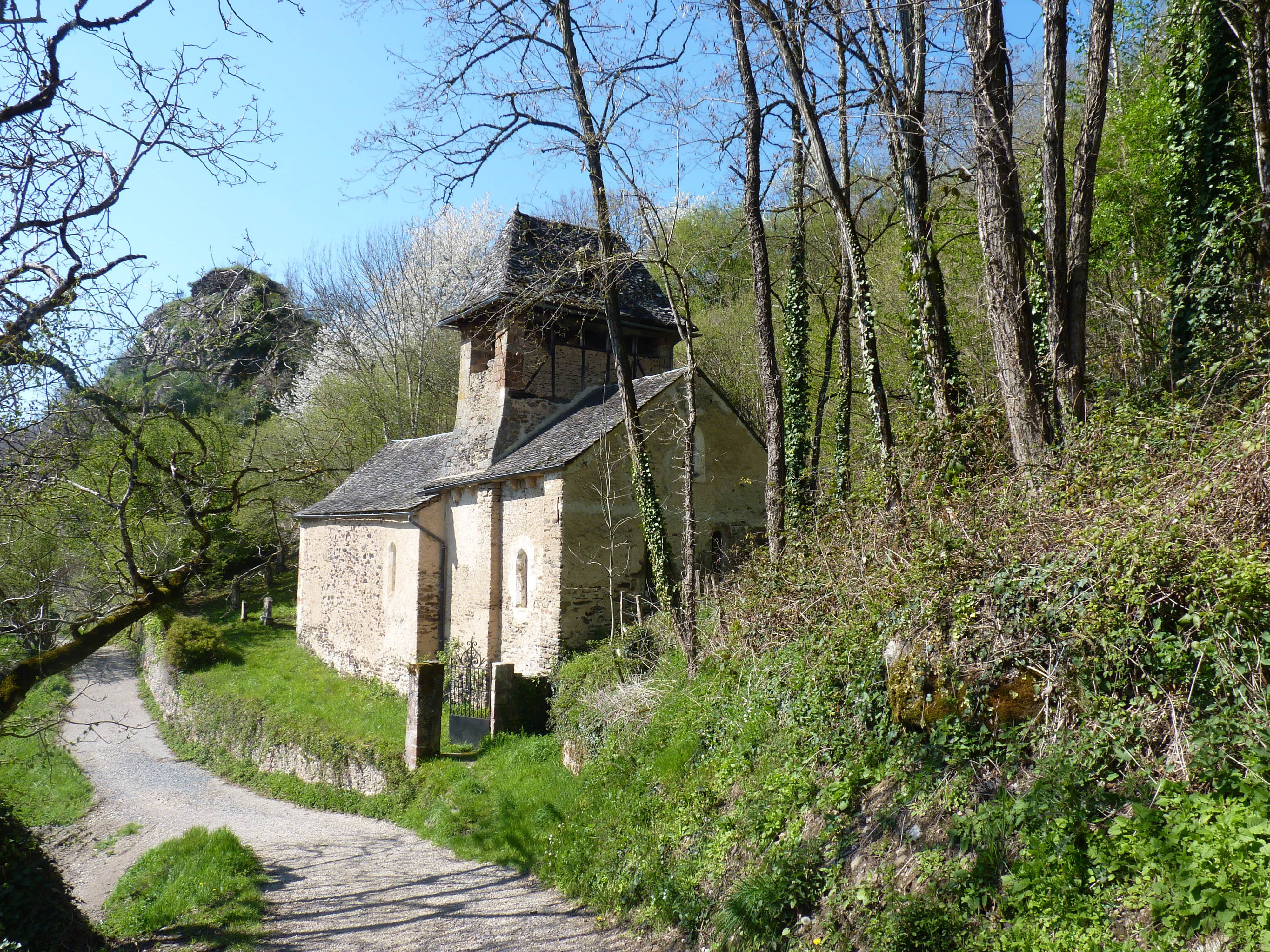
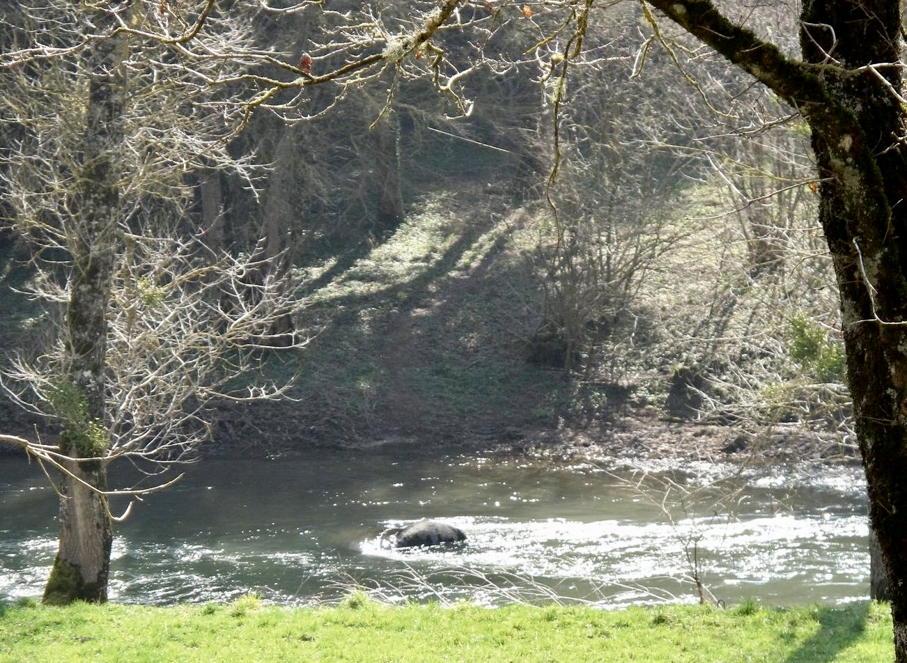
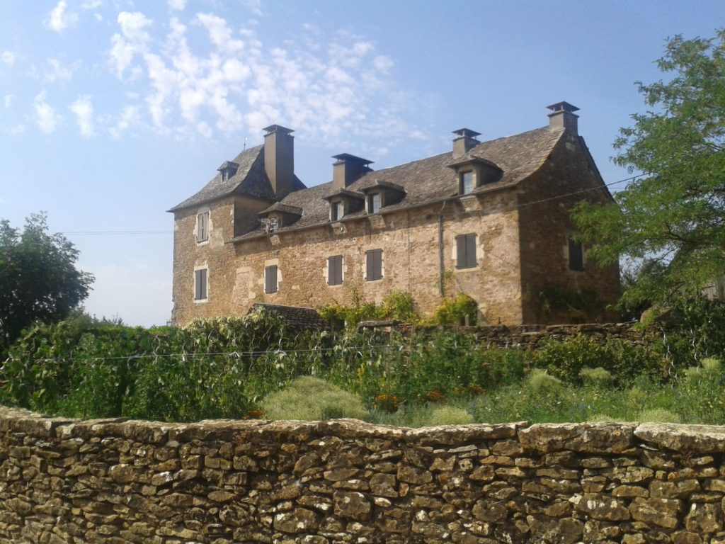
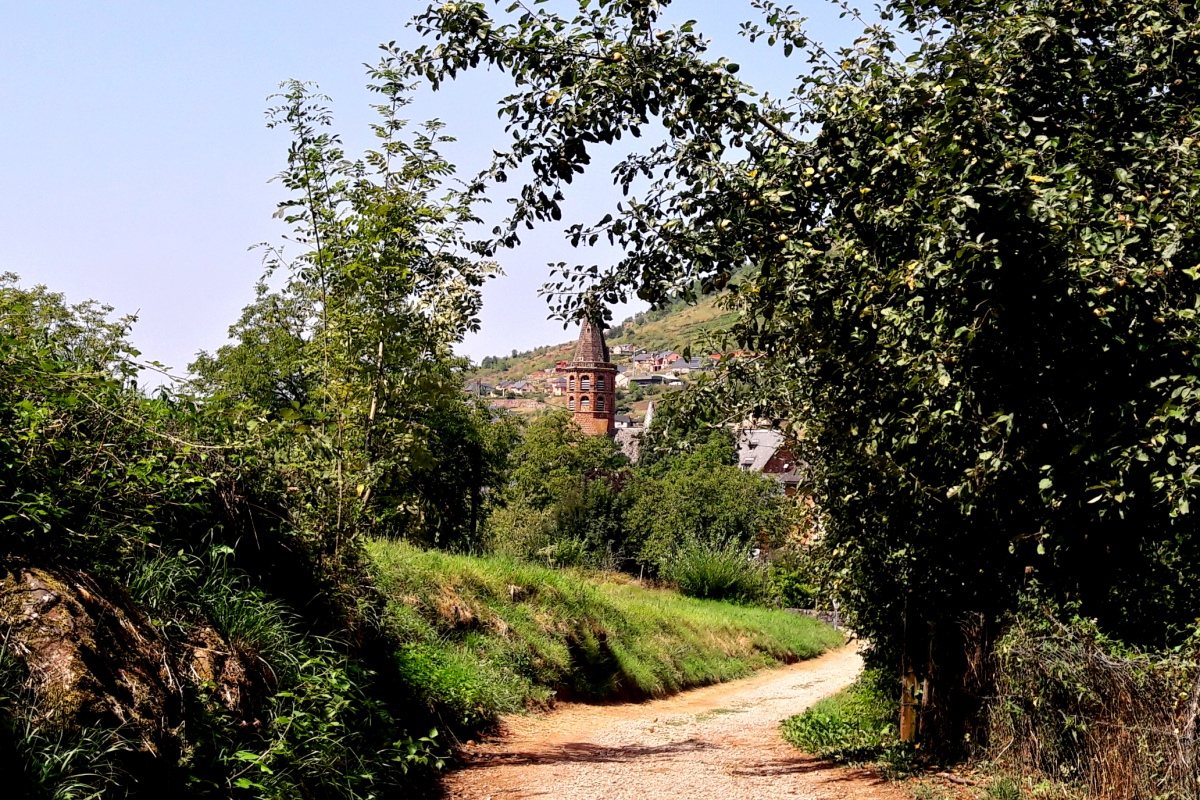
Short round trip between the towns of Cougousse and Marcillac-Vallon. A pleasant walk accessible to all and in the shade of the trees that runs along the Créneau. Possibility of extending the route by visiting the small village of Marcillac-Vallon and its charming Notre-Dame chapel.

Already more than 200,000 users!
Uphill
42m
Highest point
301m
Downhill
42m
Lowest point
275m
Route type
There and back
Download the map on your smartphone to save battery and rest assured to always keep access to the route, even without signal.
Includes IGN France and Swisstopo.
I indicate whether dogs are allowed or prohibited on this trail
All year
0 ratings
Also enjoy:

Already more than 200,000 users!