Uphill
295m
Length
8km
Duration
2h30min
Elev gain
295m
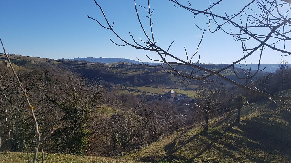
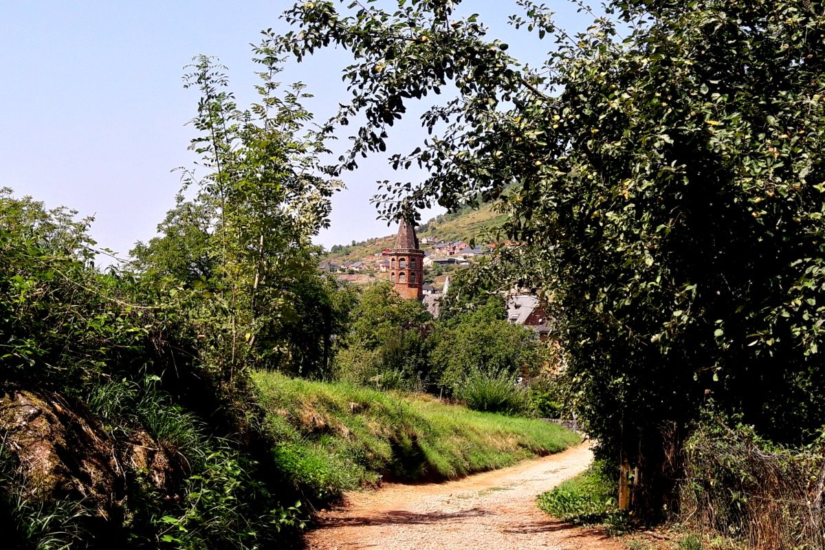
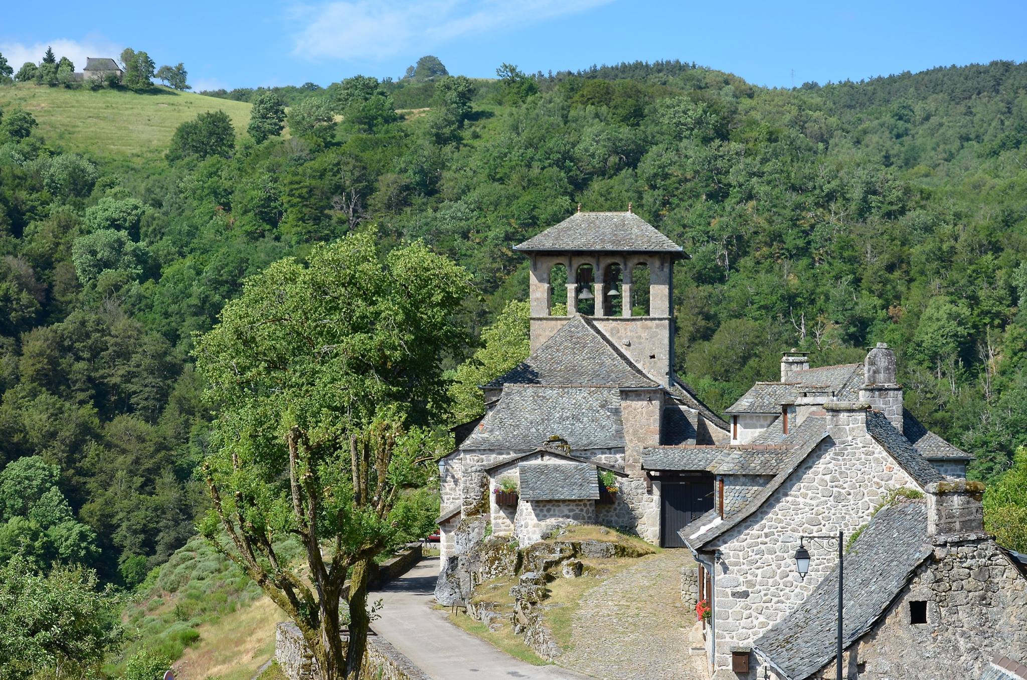
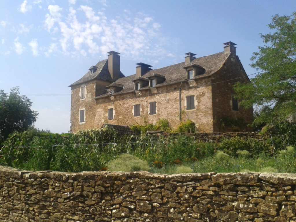
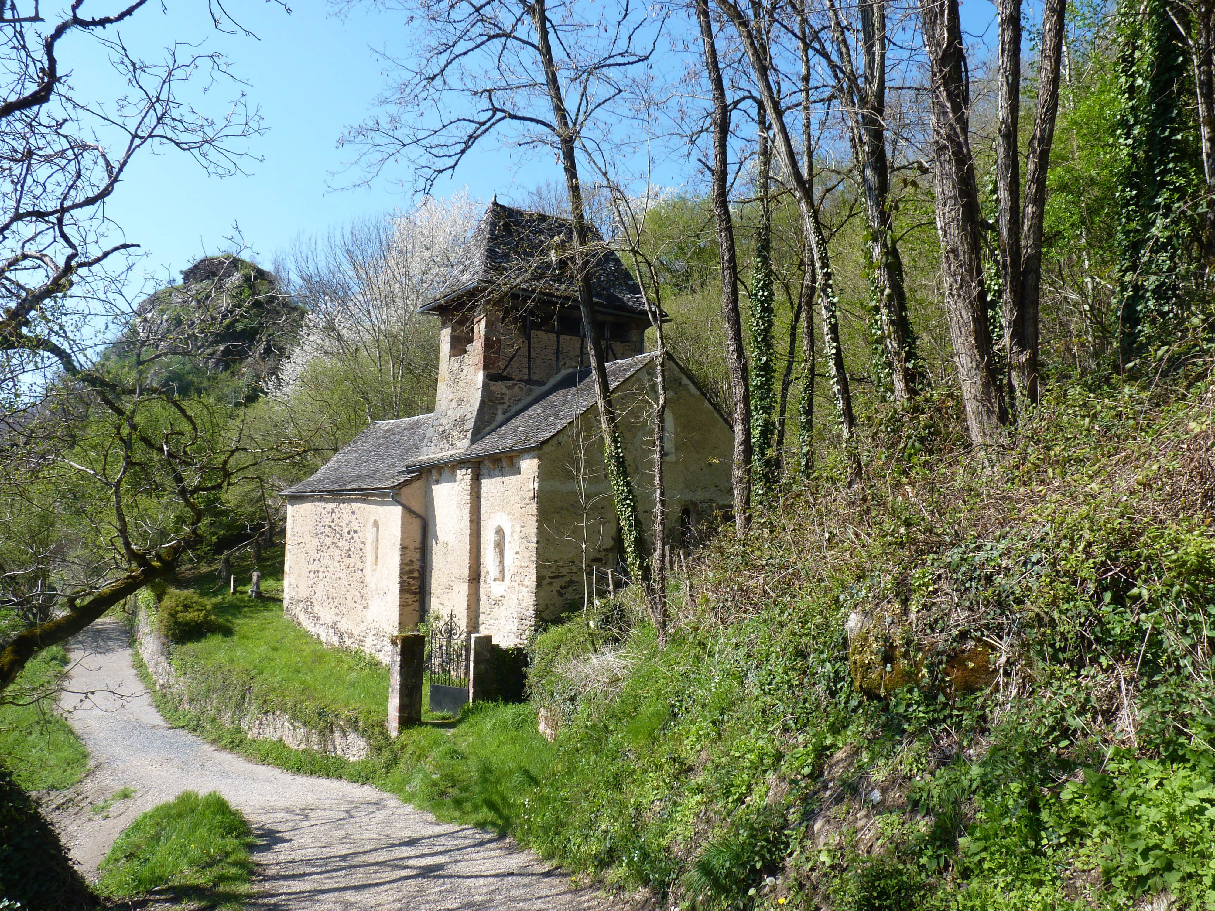
Leaving from Villecomtal, this hike leads to the charming chapel of Servières. On the outward journey, the trail climbs mainly through the forest and joins the village of Servières. After observing the small chapel, the route continues in the open and then returns to the starting point through the village of Polissal.
Note that the route follows a road for just over a kilometer.

Already more than 200,000 users!
Uphill
295m
Highest point
542m
Downhill
295m
Lowest point
302m
Route type
Loop
Download the map on your smartphone to save battery and rest assured to always keep access to the route, even without signal.
Includes IGN France and Swisstopo.
I indicate whether dogs are allowed or prohibited on this trail
All year
0 ratings
Also enjoy:

Already more than 200,000 users!