Uphill
252m
France > Occitanie > Aveyron > Aubrac Nature Park
Length
5km
Duration
2h
Elev gain
252m
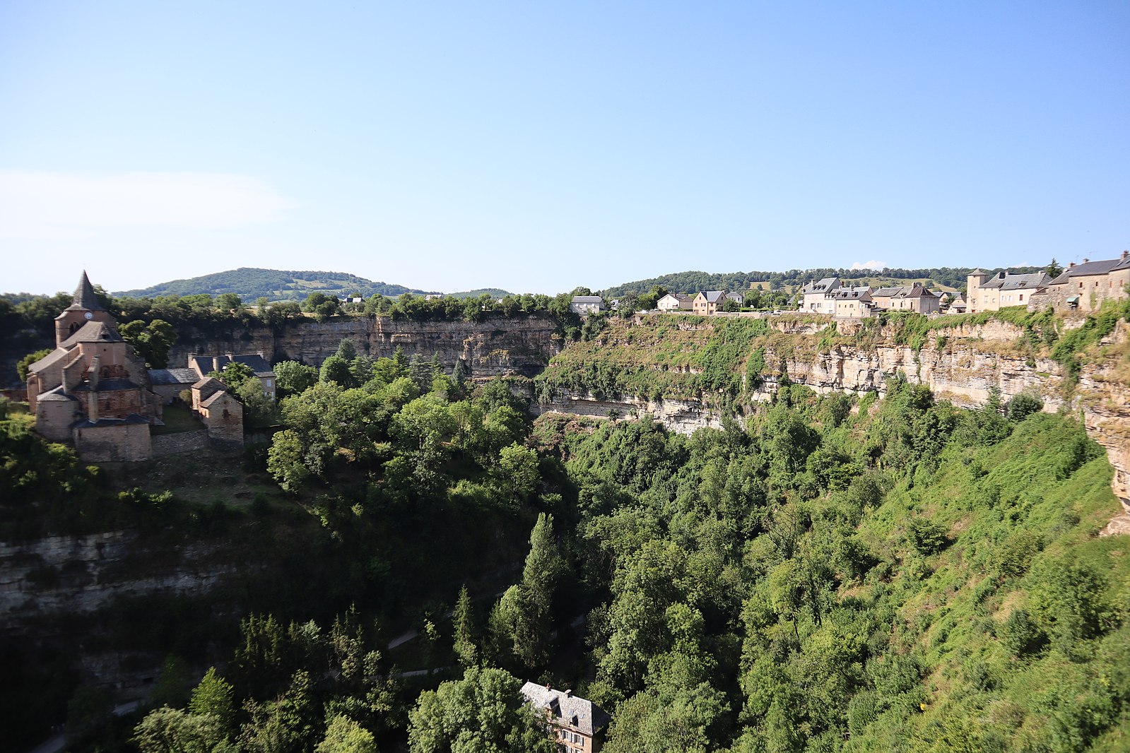
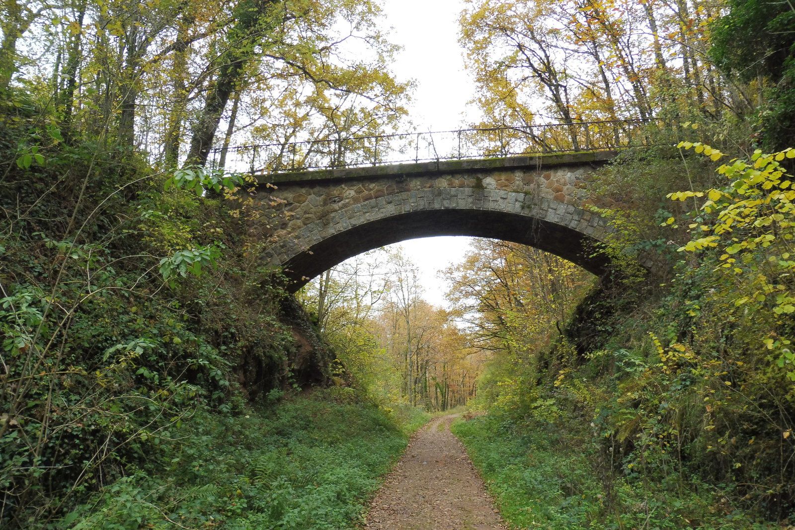
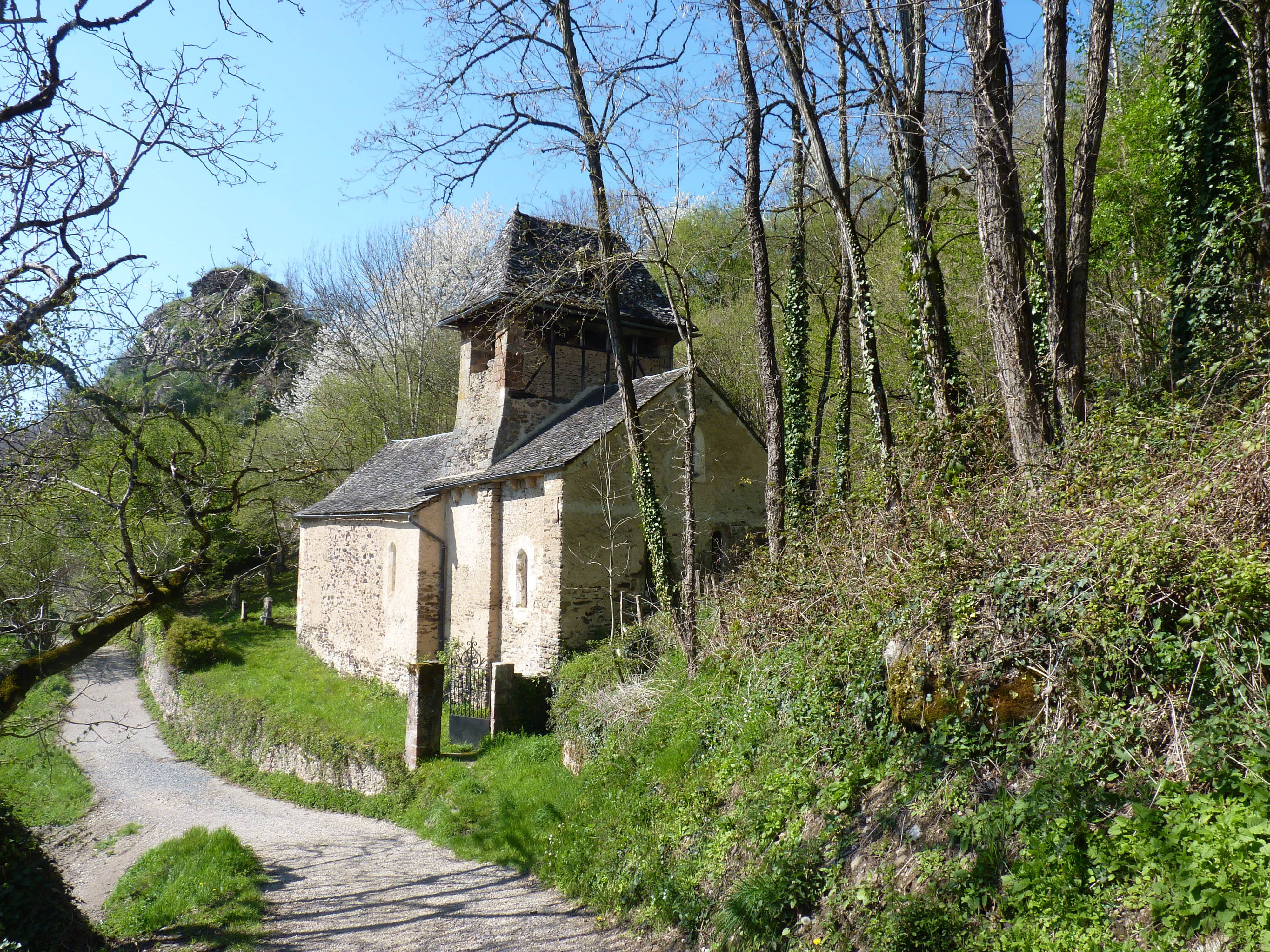
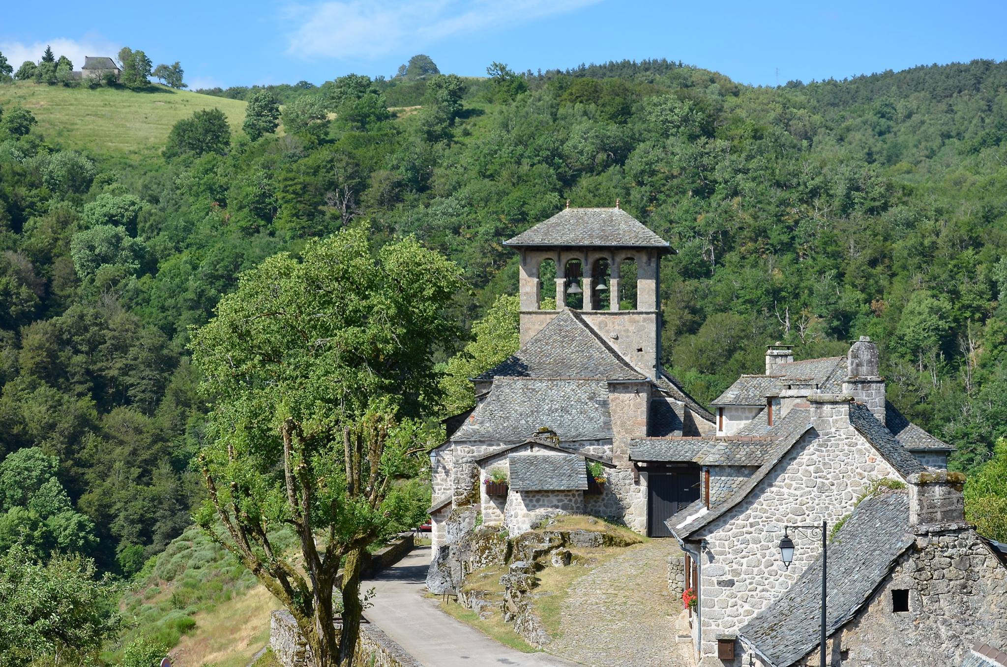
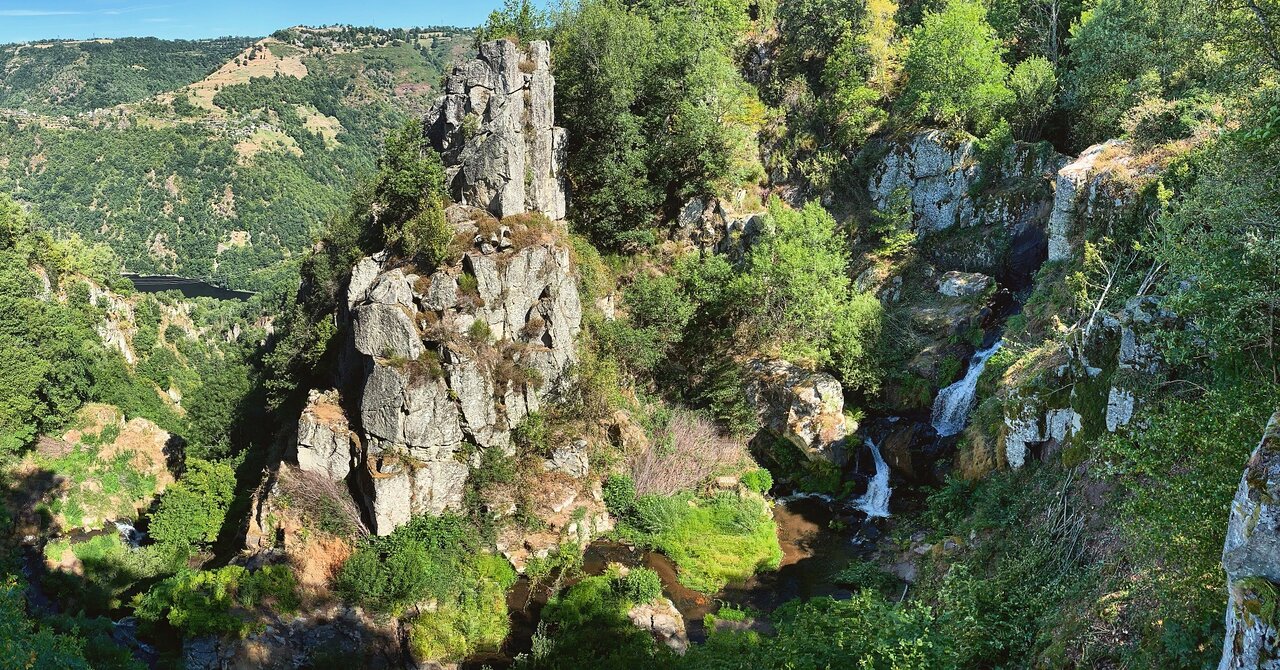
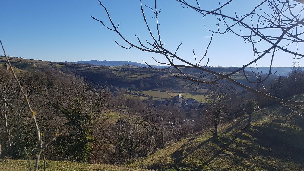
Departing from Estaing, this pleasant little walk presents varied landscapes. The route quickly rushes into the forest and runs along the Lot to reach the village of Vinnac. Once there, the trail crosses fields to head back to the starting point.

Already more than 200,000 users!
Uphill
252m
Highest point
506m
Downhill
252m
Lowest point
312m
Route type
Loop
Download the map on your smartphone to save battery and rest assured to always keep access to the route, even without signal.
Includes IGN France and Swisstopo.
I indicate whether dogs are allowed or prohibited on this trail
All year
1 rating
Also enjoy:

Already more than 200,000 users!