Uphill
122m
Length
4km
Duration
1h30min
Elev gain
122m
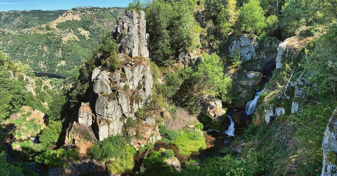
Short walk between forest and meadows, allowing to discover a pretty and high waterfall. Note the crossing of a chestnut grove with hundred-year-old trees.

Already more than 200,000 users!
Uphill
122m
Highest point
721m
Downhill
122m
Lowest point
615m
Route type
Loop
Download the map on your smartphone to save battery and rest assured to always keep access to the route, even without signal.
Includes IGN France and Swisstopo.
I indicate whether dogs are allowed or prohibited on this trail
All year
0 ratings
Also enjoy:

Already more than 200,000 users!


