Uphill
168m
Length
4km
Duration
1h30min
Elev gain
168m
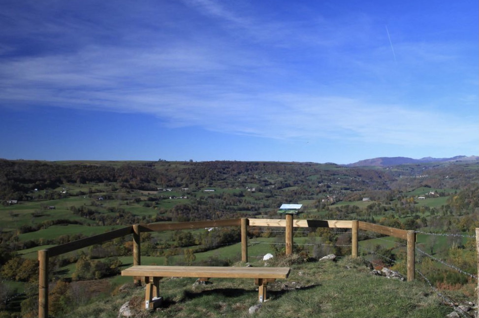
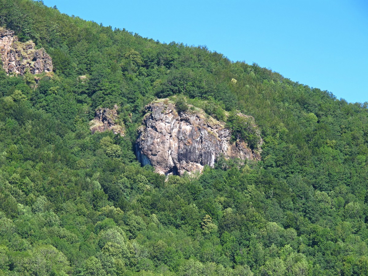
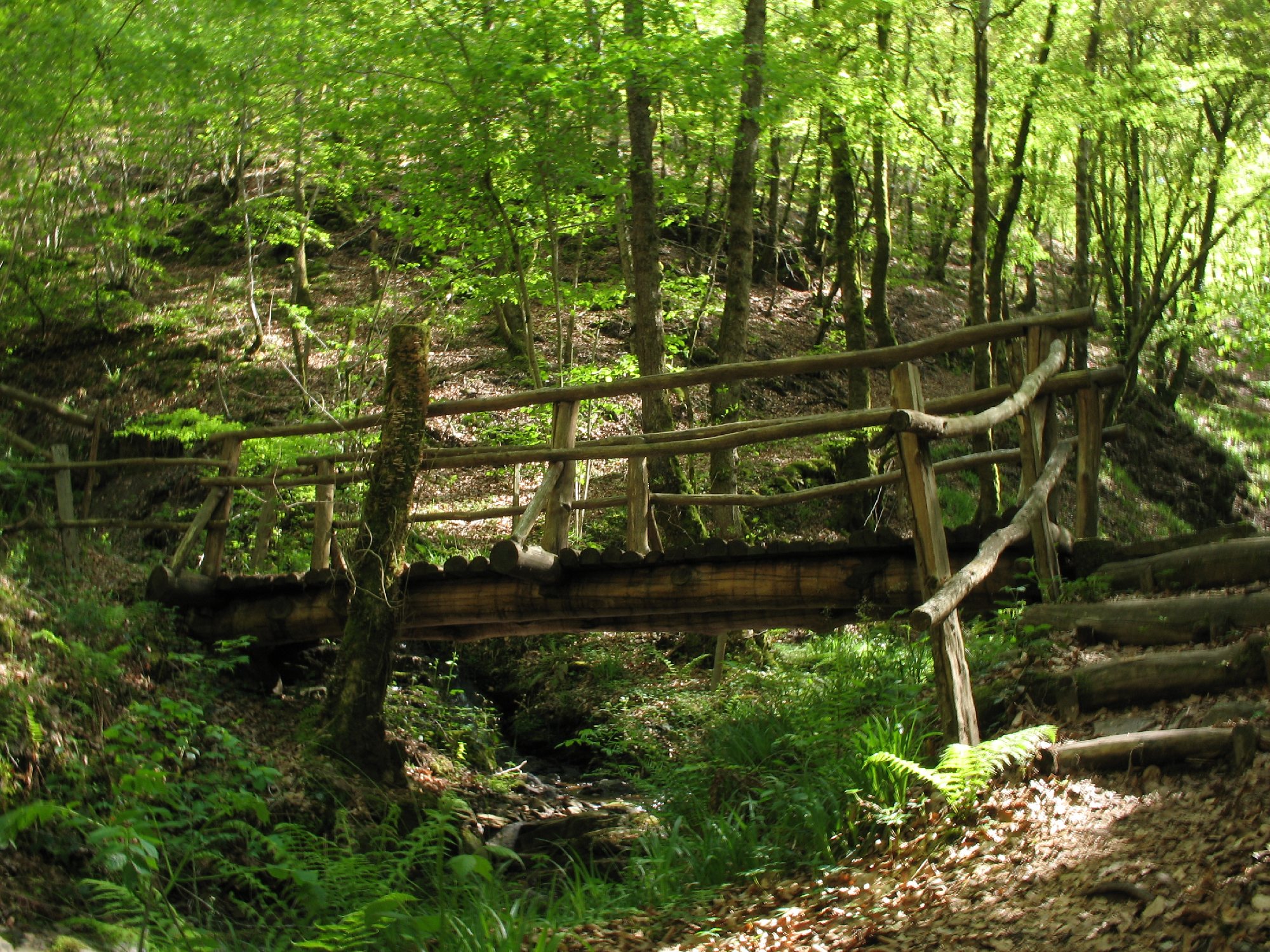
Departing from Taussac, this family-friendly walk makes a nice loop in the shade of the trees. The route leaves the village passing in front of the castle, before rushing into a charming forest dotted with wooden sculptures, then rejoining the starting point by the Chemin du Puech.

Already more than 200,000 users!
Uphill
168m
Highest point
740m
Downhill
168m
Lowest point
573m
Route type
Loop
Download the map on your smartphone to save battery and rest assured to always keep access to the route, even without signal.
Includes IGN France and Swisstopo.
I indicate whether dogs are allowed or prohibited on this trail
All year
0 ratings
Also enjoy:

Already more than 200,000 users!