Uphill
463m
France > Auvergne-Rhône-Alpes > Cantal > Volcans d'Auvergne Regional Natural Park
Length
6km
Duration
3h30min
Elev gain
463m
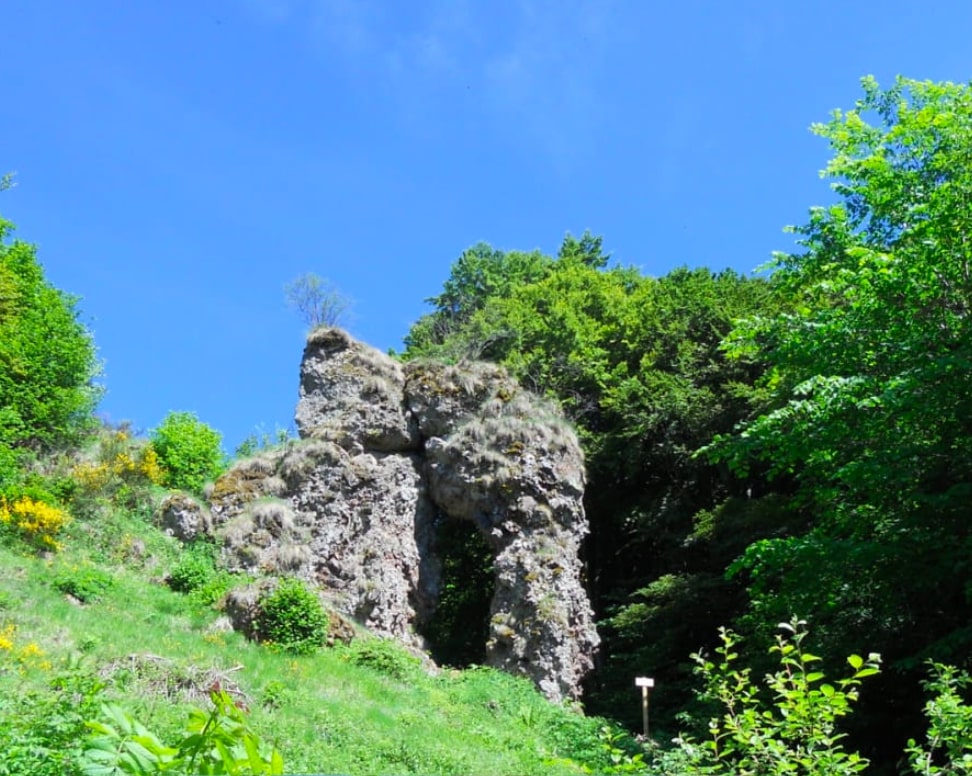
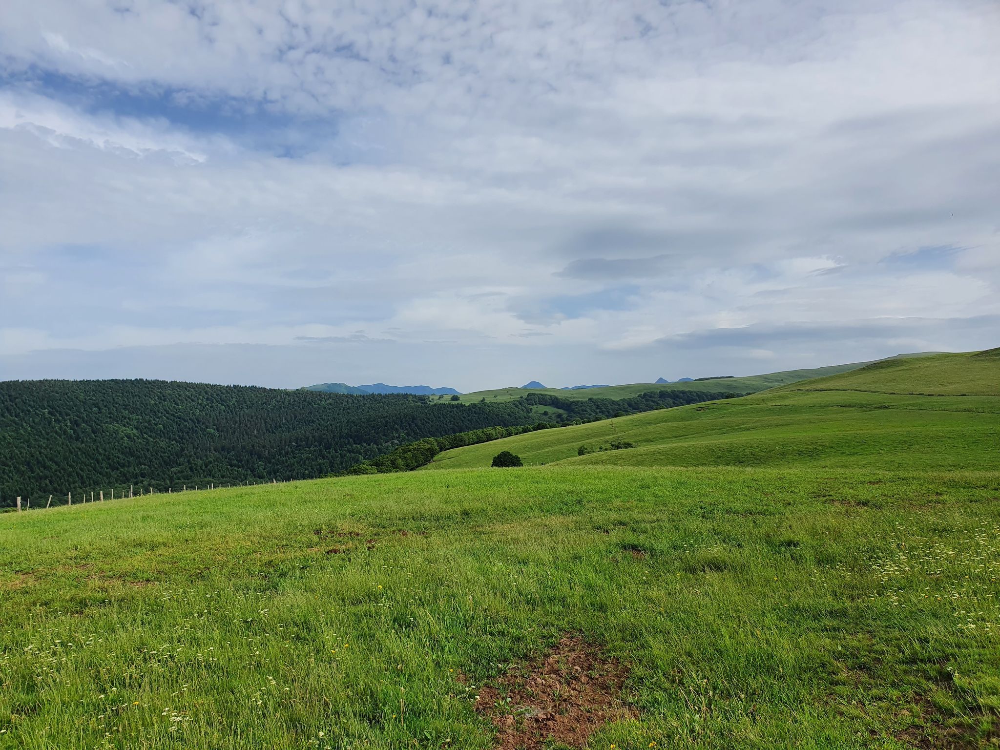
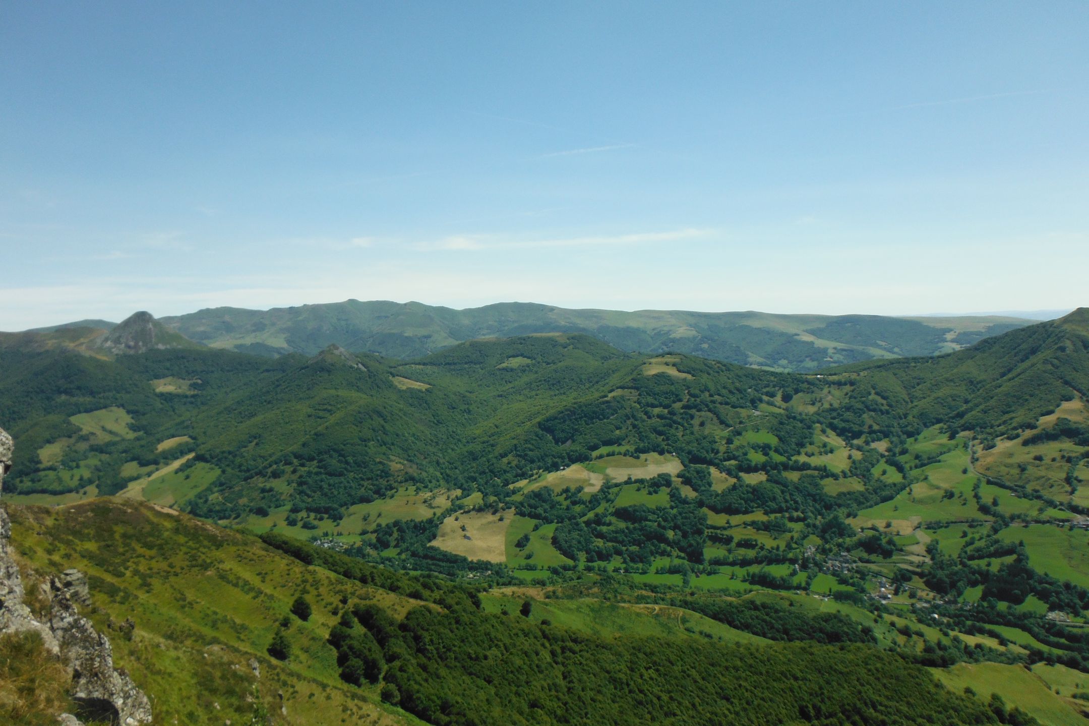
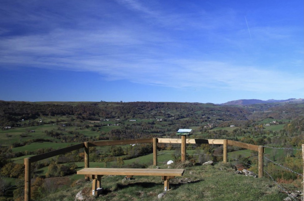
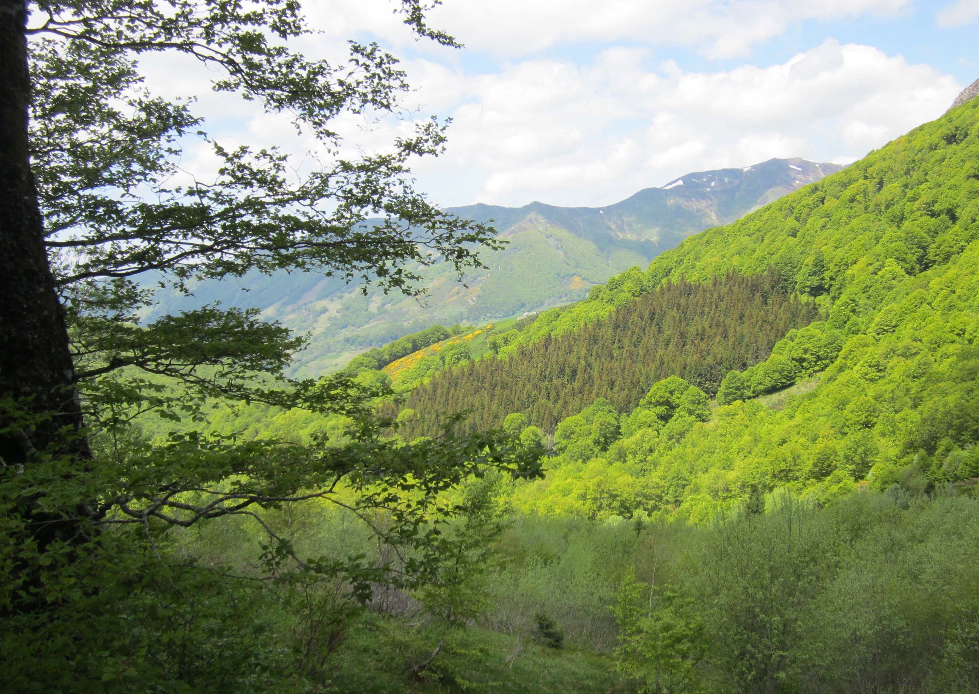
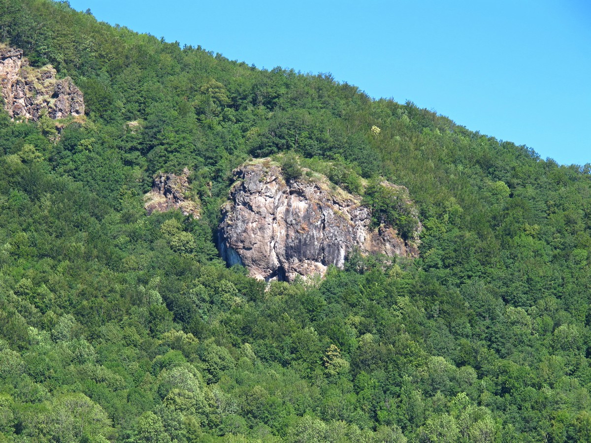
Departing from Vic-sur-Cère, this route makes a loop on the heights of the village. The path, mainly through the forest, passes through the Grotte des Anglais then the Rocher du Rieu before returning to the starting point. Pretty views of the Cère valley in perspective!

Already more than 200,000 users!
Uphill
463m
Highest point
1045m
Downhill
463m
Lowest point
675m
Route type
Loop
Download the map on your smartphone to save battery and rest assured to always keep access to the route, even without signal.
Includes IGN France and Swisstopo.
I indicate whether dogs are allowed or prohibited on this trail
Can be difficult in Winter
0 ratings
Also enjoy:

Already more than 200,000 users!