Uphill
544m
France > Auvergne-Rhône-Alpes > Cantal > Volcans d'Auvergne Regional Natural Park
Length
12km
Duration
4h30min
Elev gain
544m
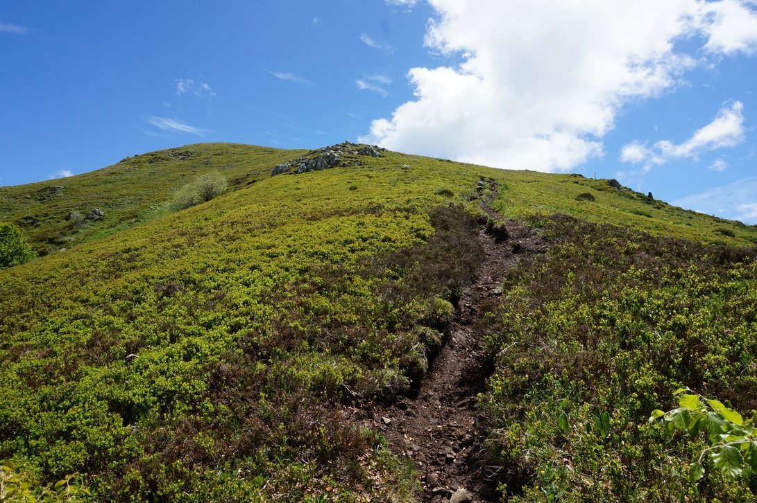
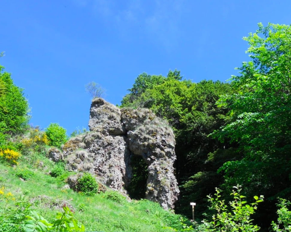
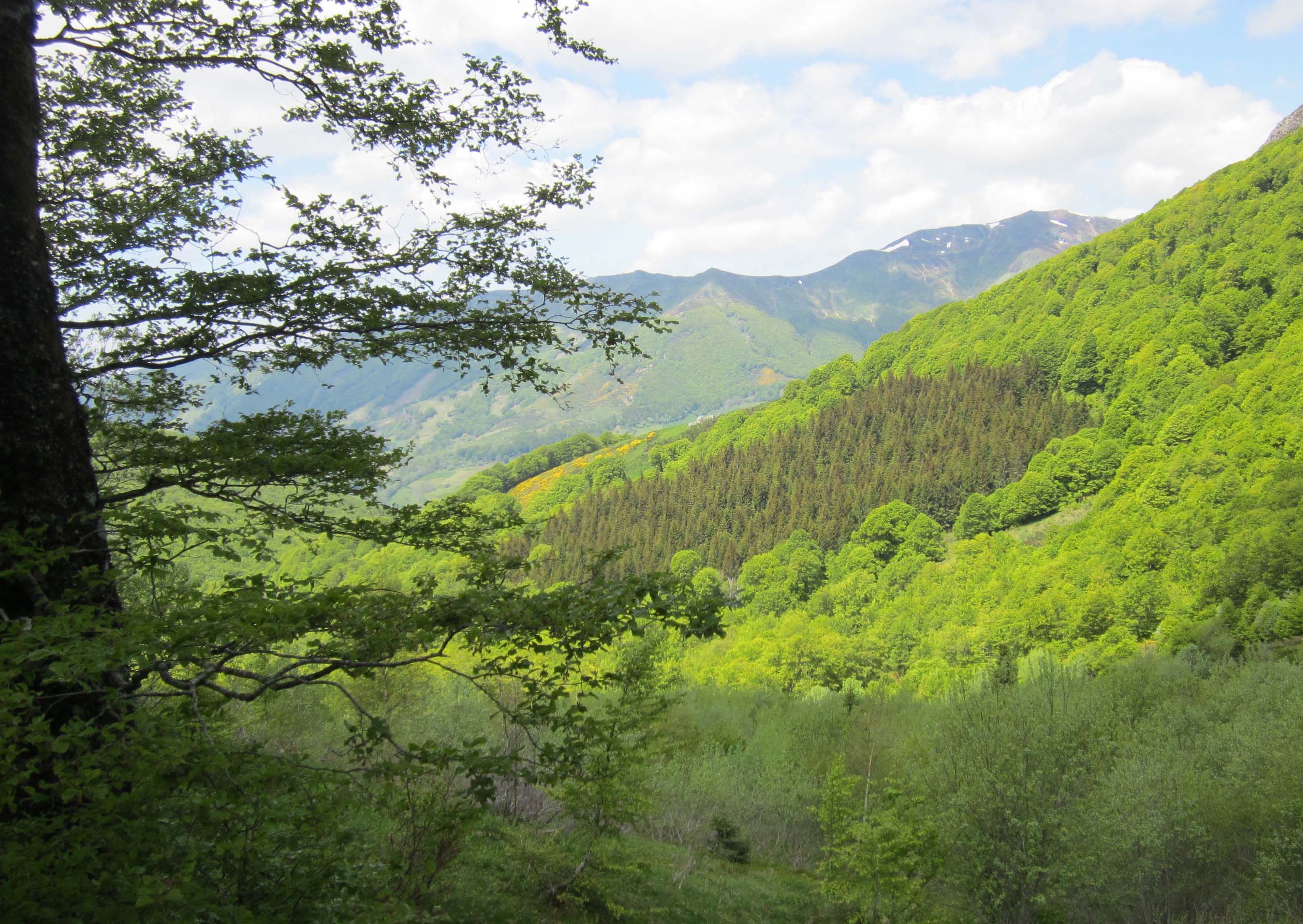
Starting from the Col de Pertus, this hike makes a long loop to reach the Col du Gliziou. The route crosses a forest and passes through the hamlets of Larmandie and Liadouze.
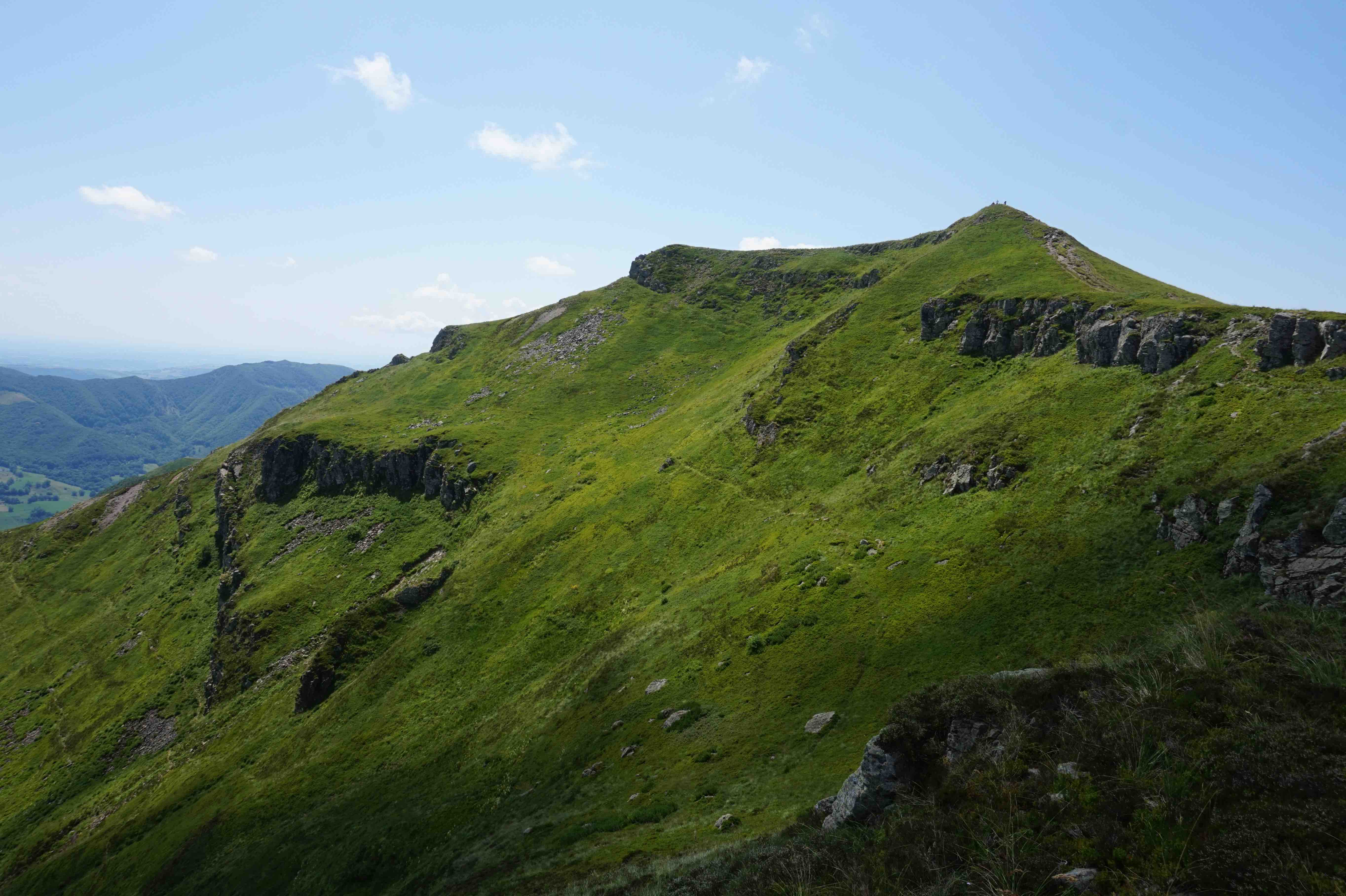
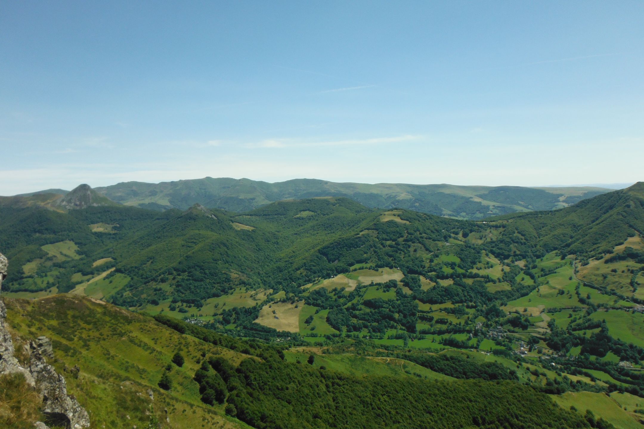
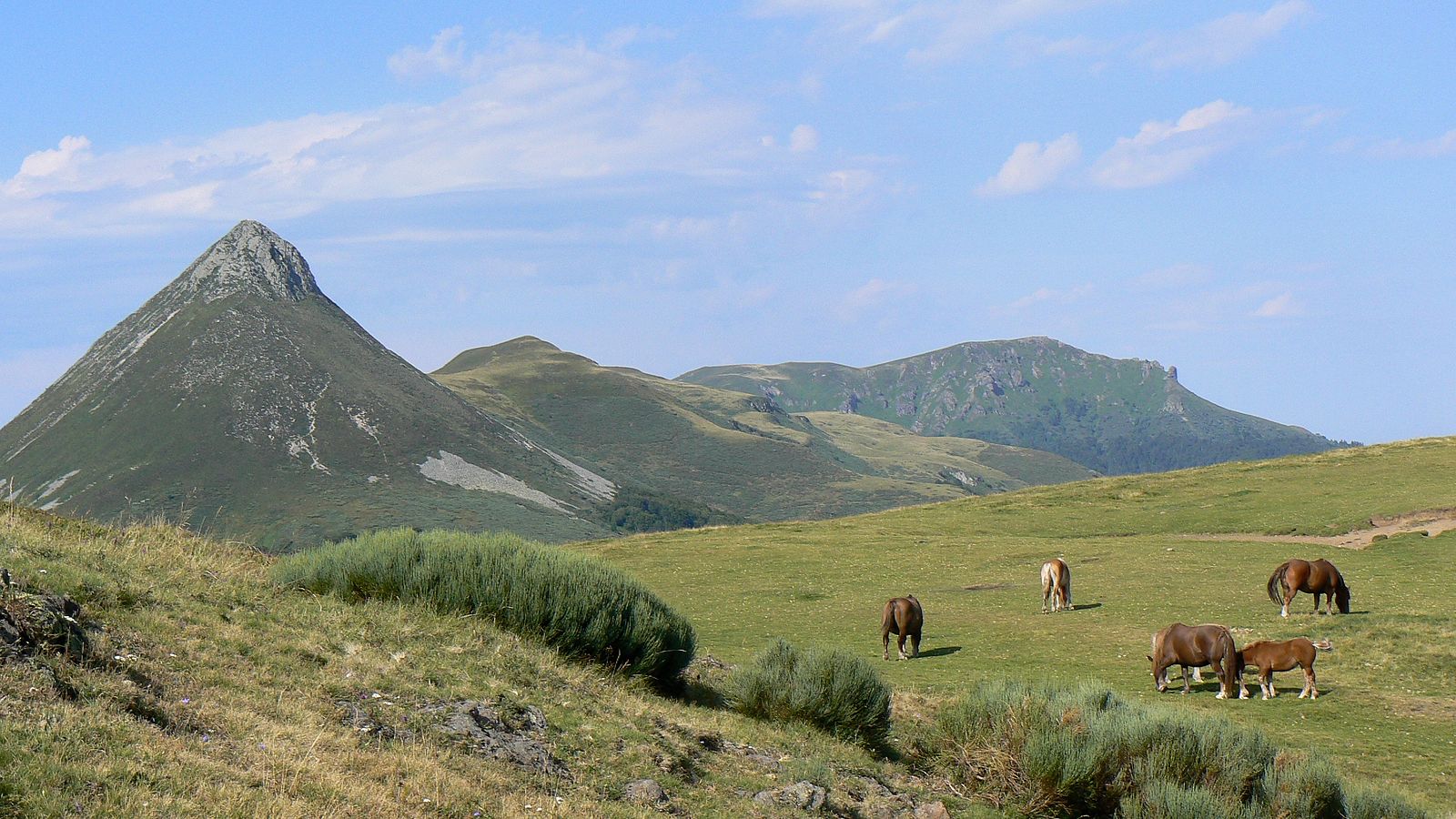
On these Cantal mountains, the views of the surroundings are as numerous as they are pretty.

Already more than 200,000 users!
Uphill
544m
Highest point
1446m
Downhill
544m
Lowest point
926m
Route type
Loop
Download the map on your smartphone to save battery and rest assured to always keep access to the route, even without signal.
Includes IGN France and Swisstopo.
I indicate whether dogs are allowed or prohibited on this trail
Can be difficult in Winter
0 ratings
Also enjoy:

Already more than 200,000 users!