Uphill
251m
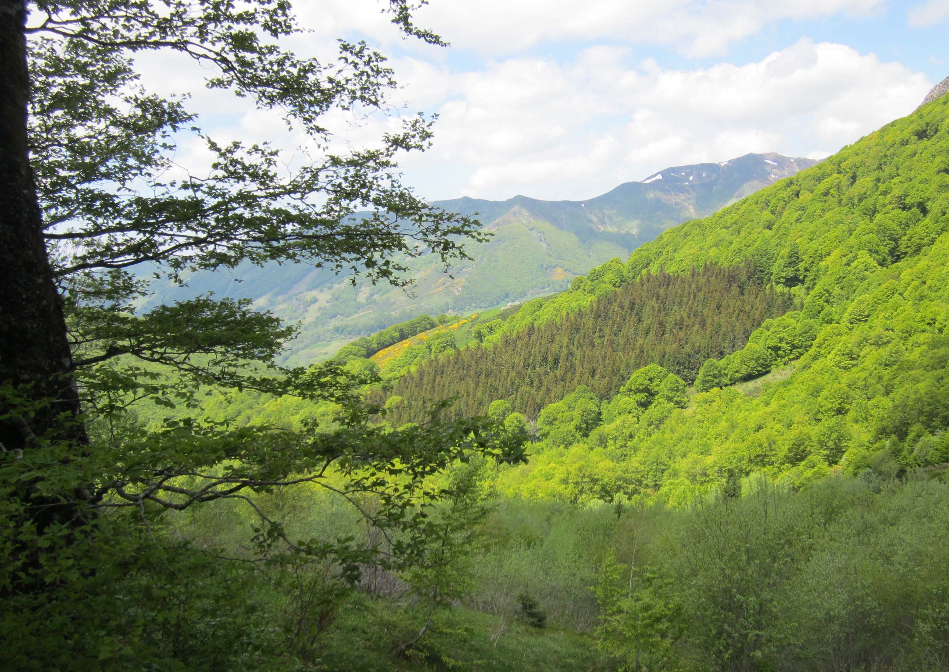
France > Auvergne-Rhône-Alpes > Cantal > Volcans d'Auvergne Regional Natural Park
Length
3km
Duration
1h30min
Elev gain
251m
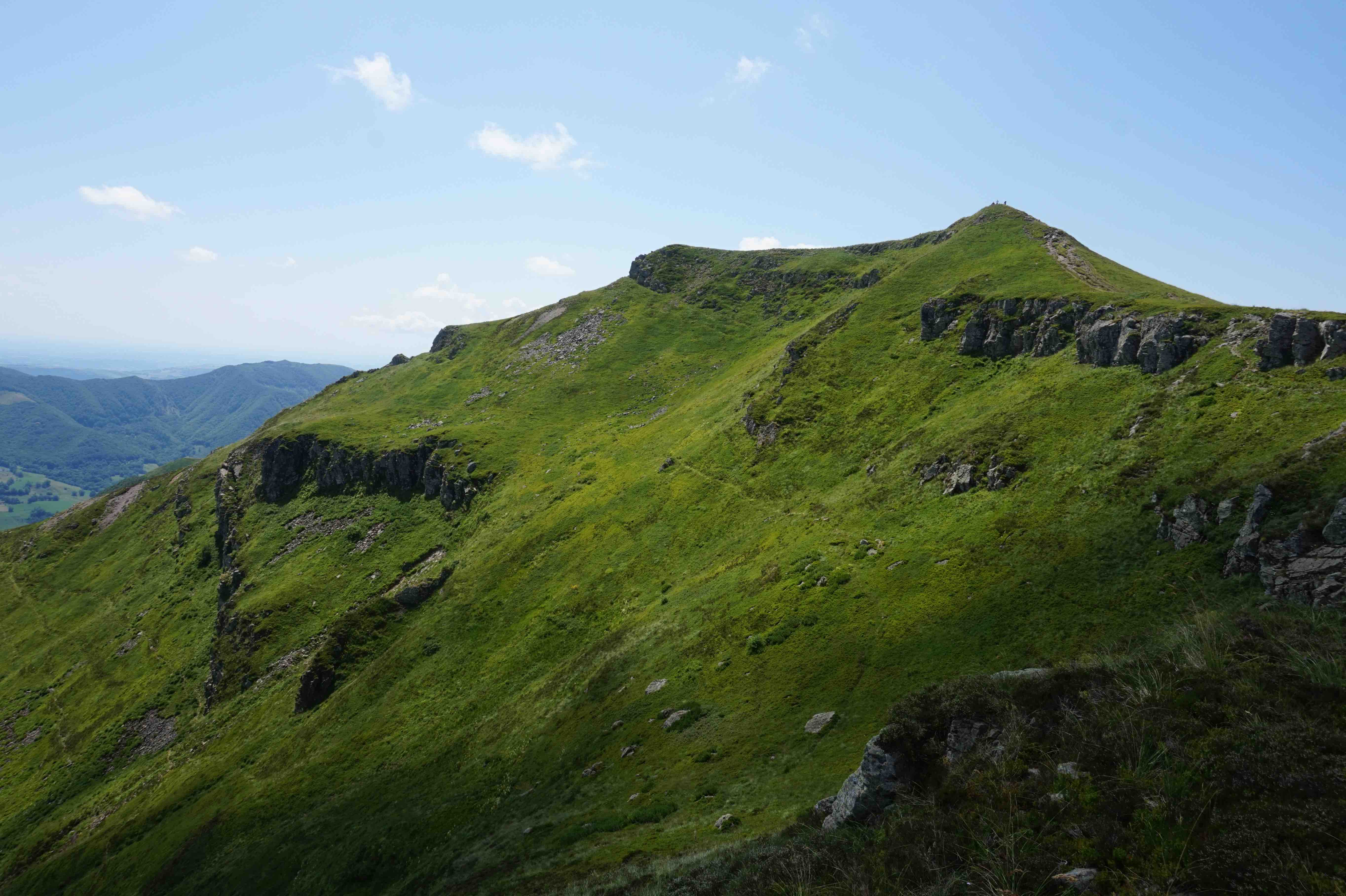
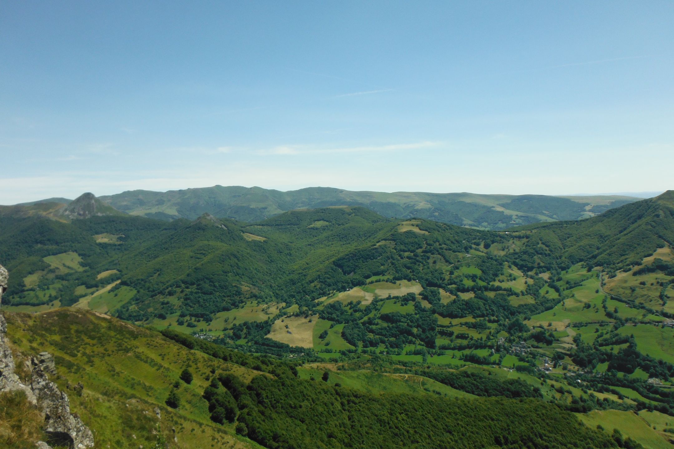
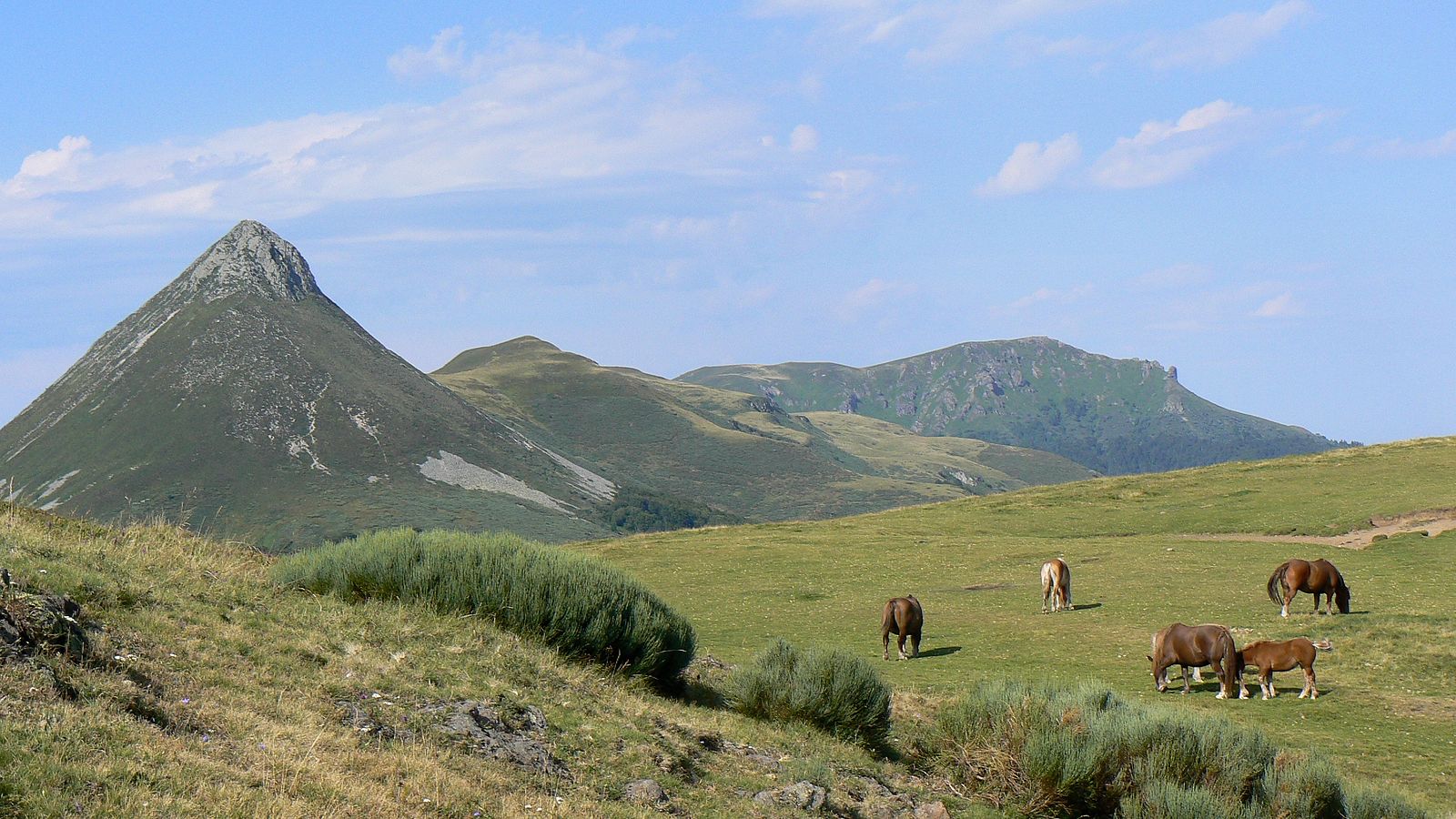
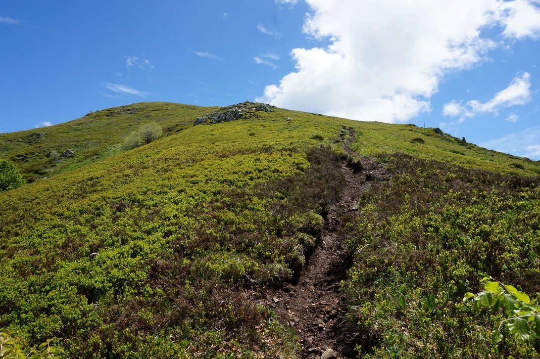
From the Col de Pertus, this trail is steep and climbs to the summit of the route, Élancèze, located at 1,571 meters above sea level. At the top, the view of the villages of Miandailles and Thiézac is splendid.

Already more than 200,000 users!
Uphill
251m
Highest point
1552m
Downhill
251m
Lowest point
1298m
Route type
There and back
Download the map on your smartphone to save battery and rest assured to always keep access to the route, even without signal.
Includes IGN France and Swisstopo.
I indicate whether dogs are allowed or prohibited on this trail
Can be difficult in Winter
0 ratings
Also enjoy:

Already more than 200,000 users!