Uphill
266m
France > Auvergne-Rhône-Alpes > Cantal > Volcans d'Auvergne Regional Natural Park
Length
10km
Duration
3h30min
Elev gain
266m
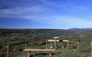
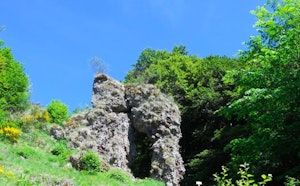
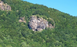
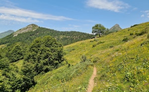
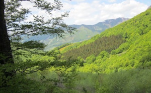
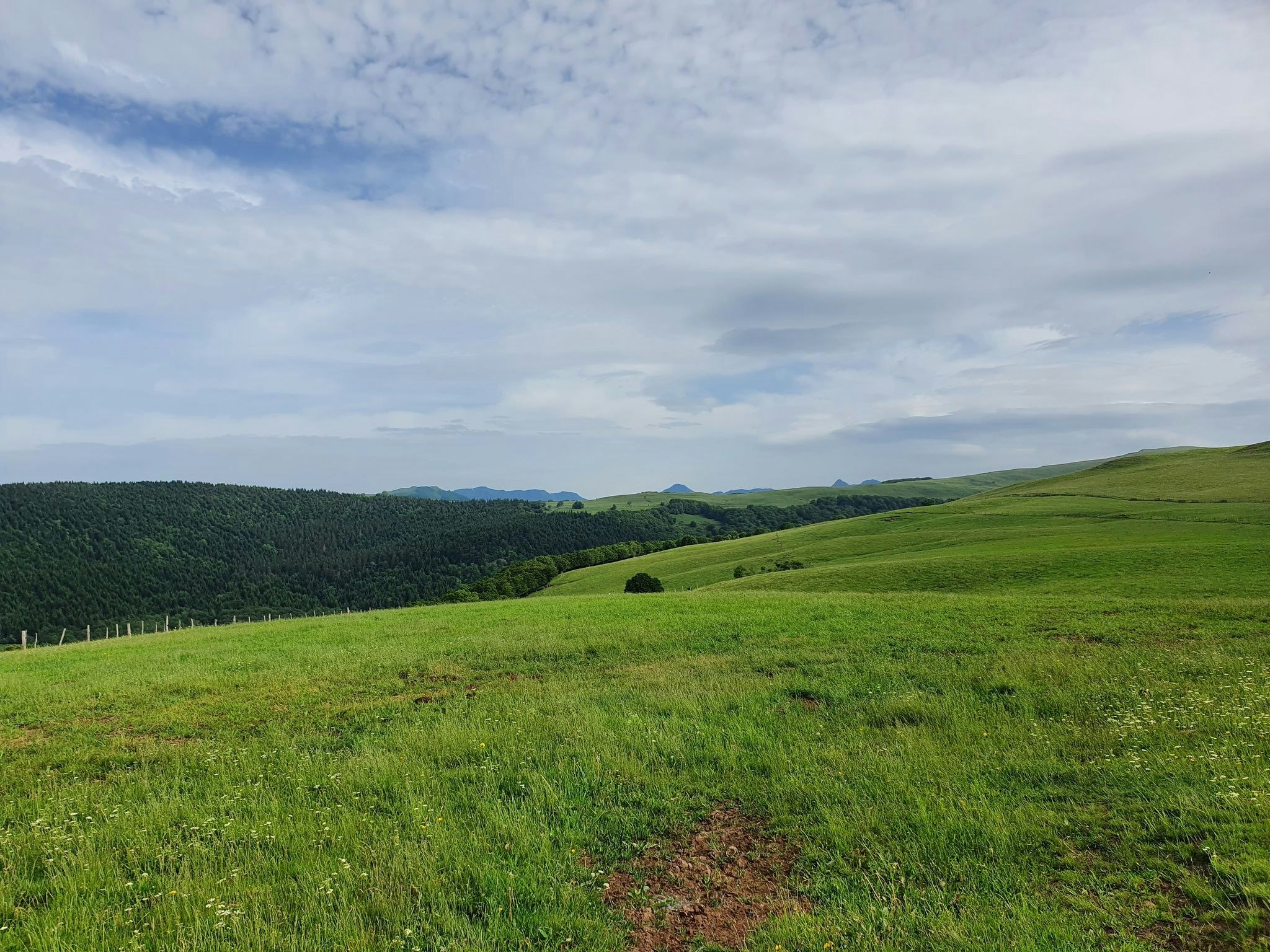
This hike begins in the charming mountain village of Pailherols, on the Barrès plateau. The route makes a nice loop in the mountain pastures, around the mountain of La Salle, where the landscapes are splendid.
Note that the return route takes a road with little traffic.

Already more than 200,000 users!
Uphill
266m
Highest point
1292m
Downhill
266m
Lowest point
1023m
Route type
Loop
Download the map on your smartphone to save battery and rest assured to always keep access to the route, even without signal.
Includes IGN France and Swisstopo.
I indicate whether dogs are allowed or prohibited on this trail
Can be difficult in Winter
1 rating
Also enjoy:

Already more than 200,000 users!