Uphill
320m
Length
12km
Duration
4h
Elev gain
320m
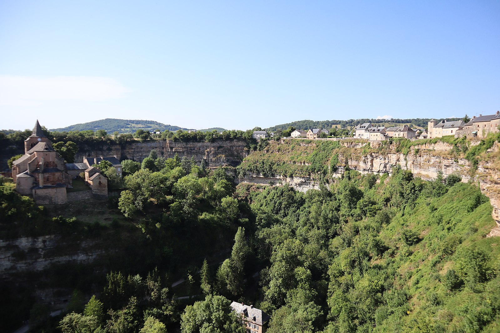
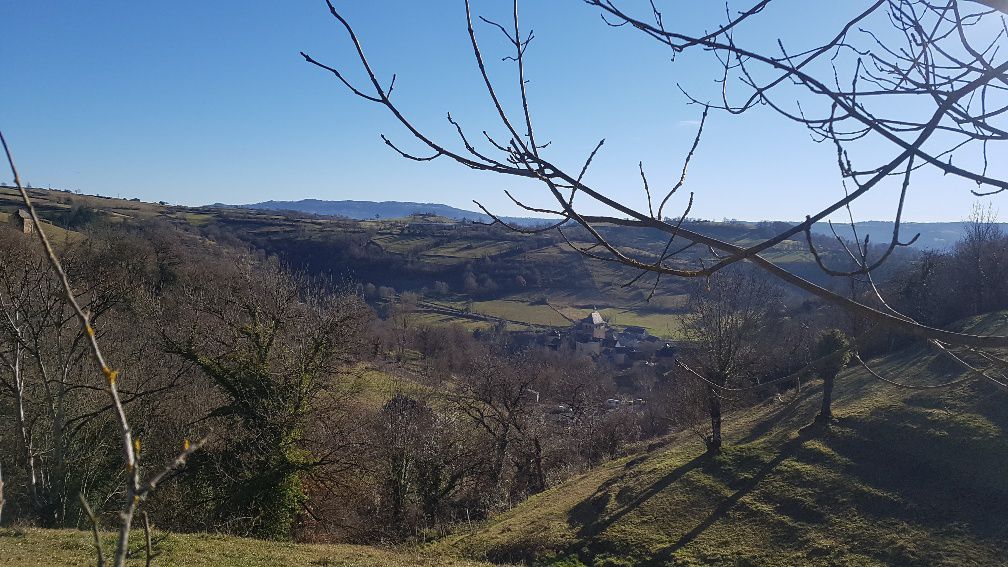
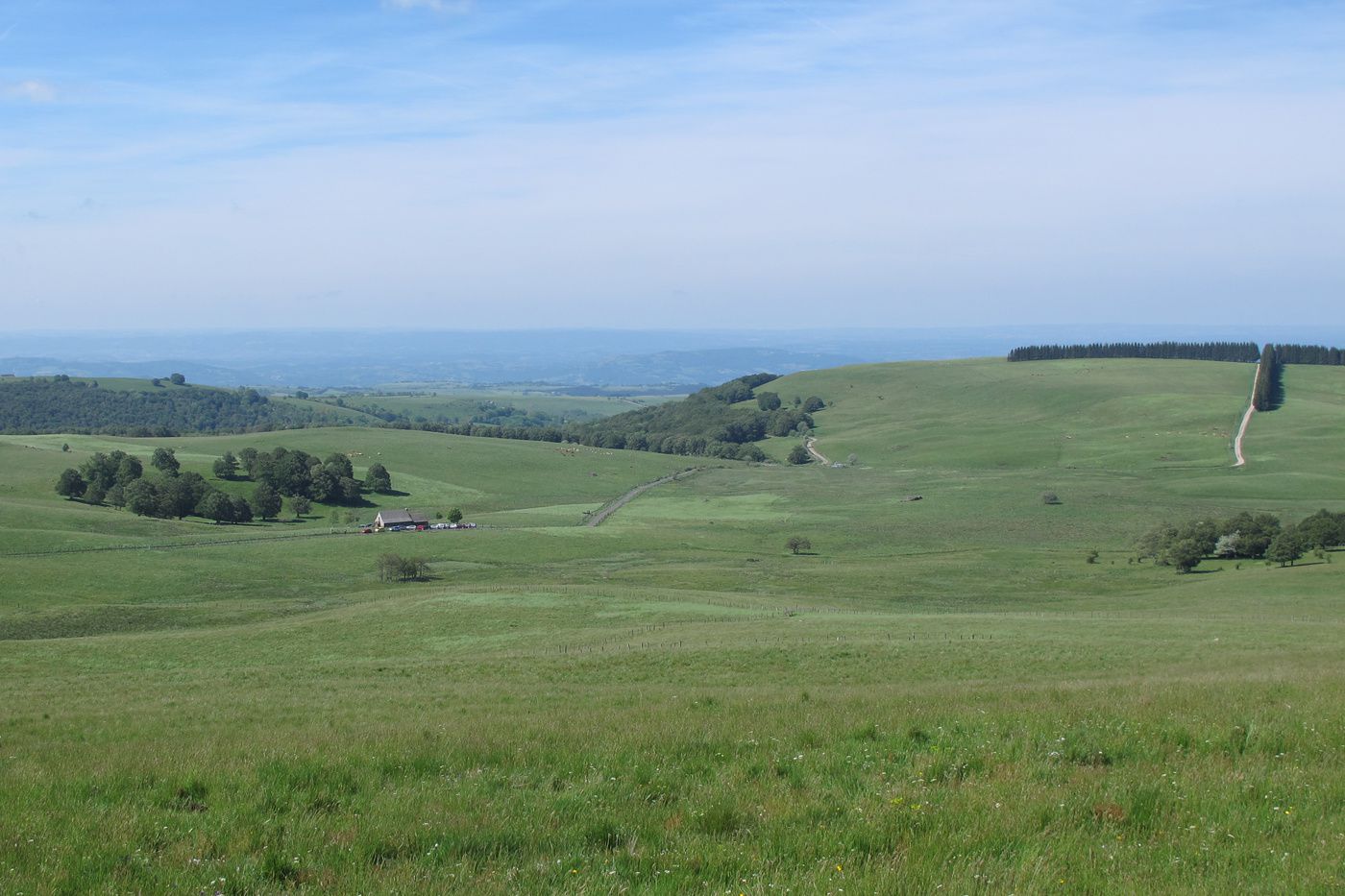
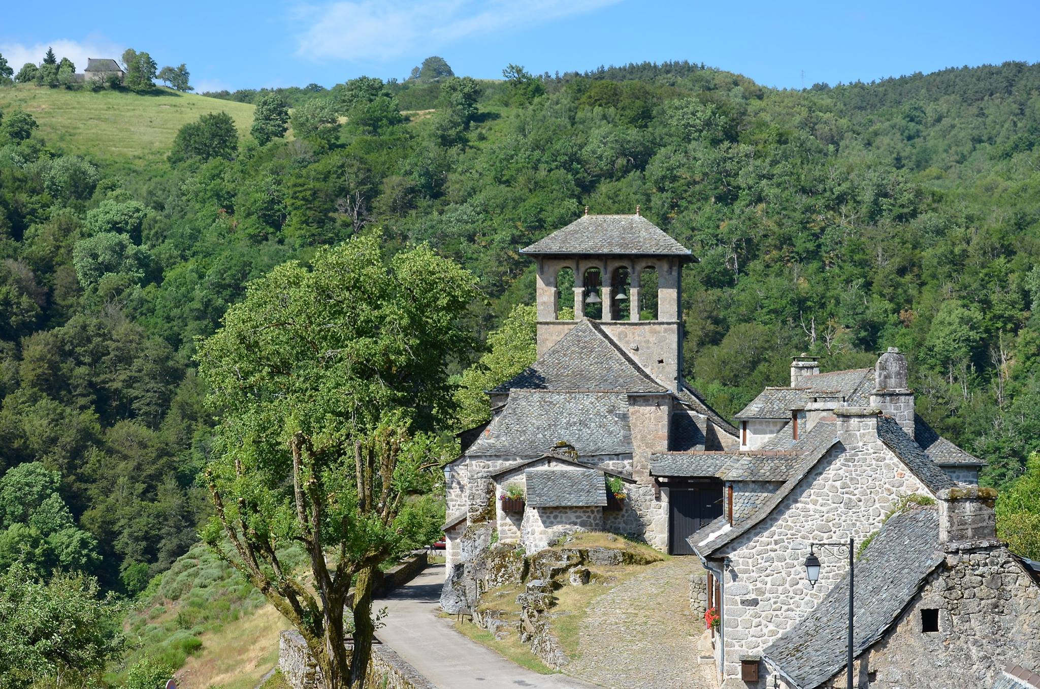
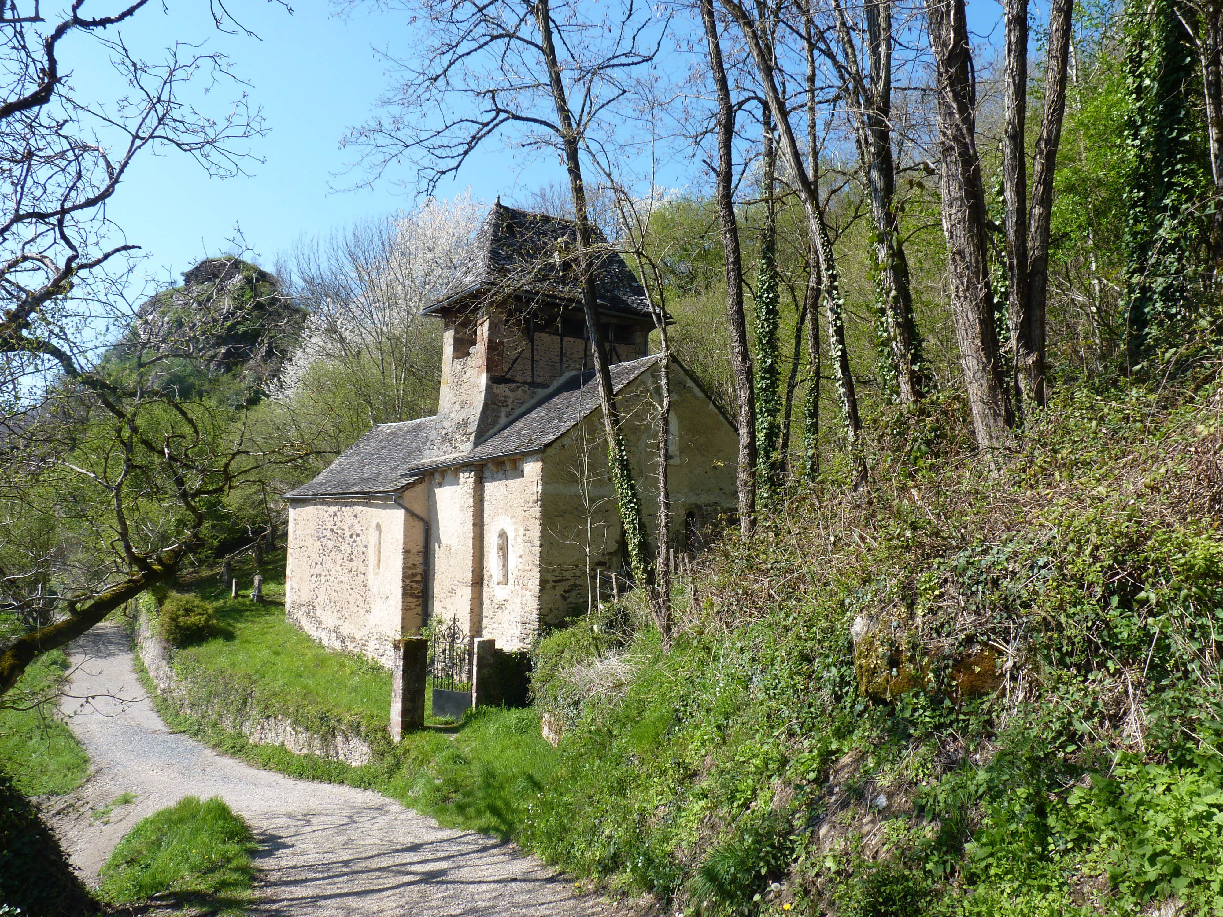
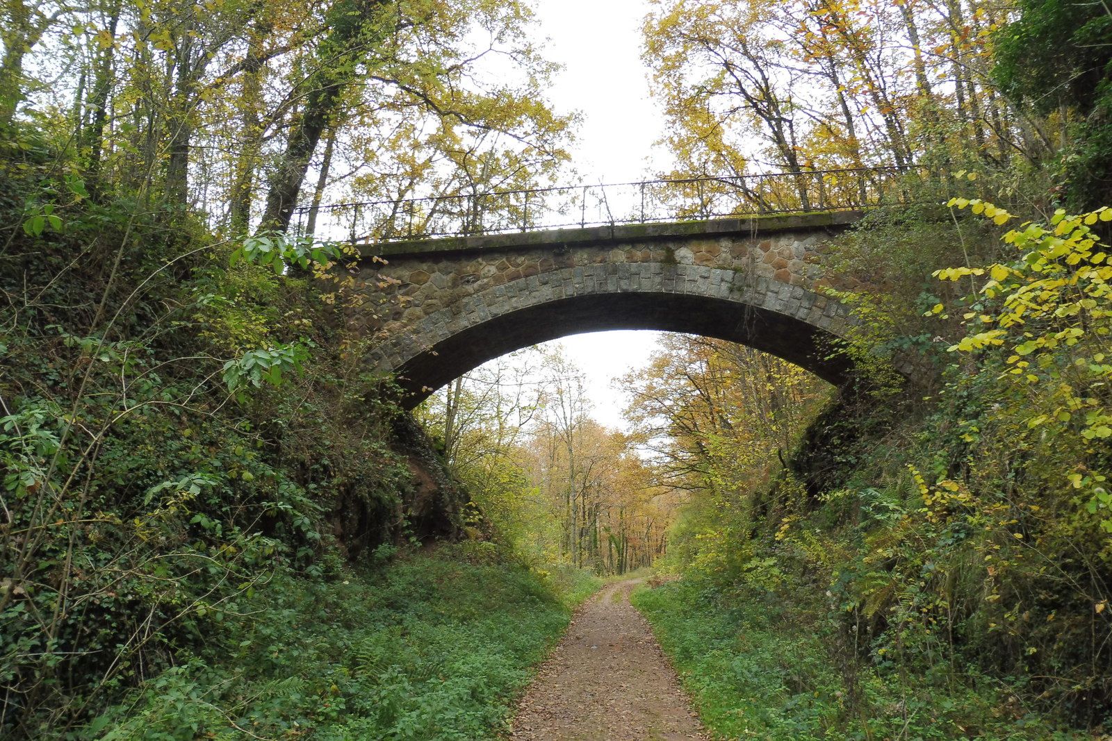
Departing from Espalion, this hike makes a loop in the footsteps of an old railway line. Between viaducts, tunnels and magnificent landscapes, this atypical hike will satisfy more than one!

Already more than 200,000 users!
Uphill
320m
Highest point
592m
Downhill
320m
Lowest point
361m
Route type
Loop
Download the map on your smartphone to save battery and rest assured to always keep access to the route, even without signal.
Includes IGN France and Swisstopo.
I indicate whether dogs are allowed or prohibited on this trail
All year
0 ratings
Also enjoy:

Already more than 200,000 users!