Uphill
227m
Length
7km
Duration
2h30min
Elev gain
227m
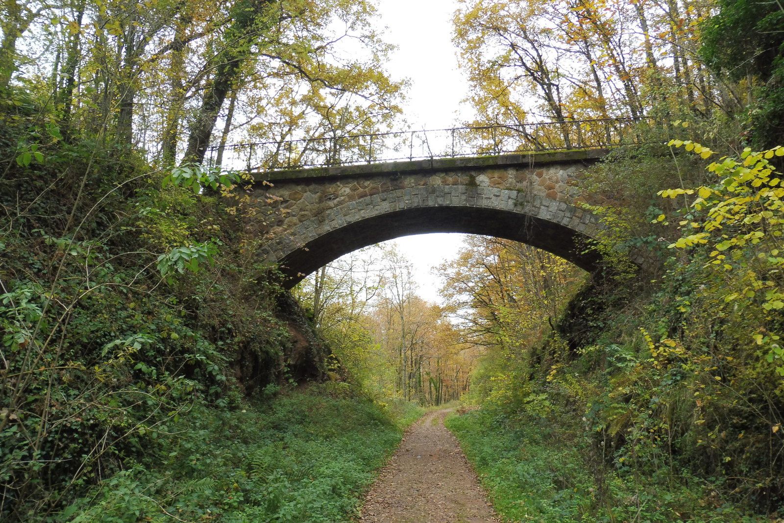
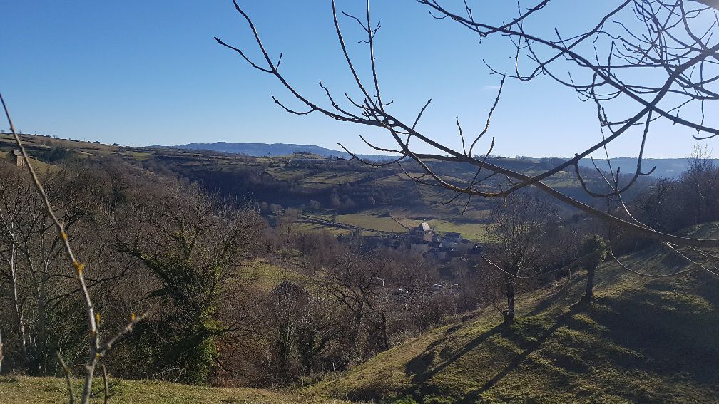
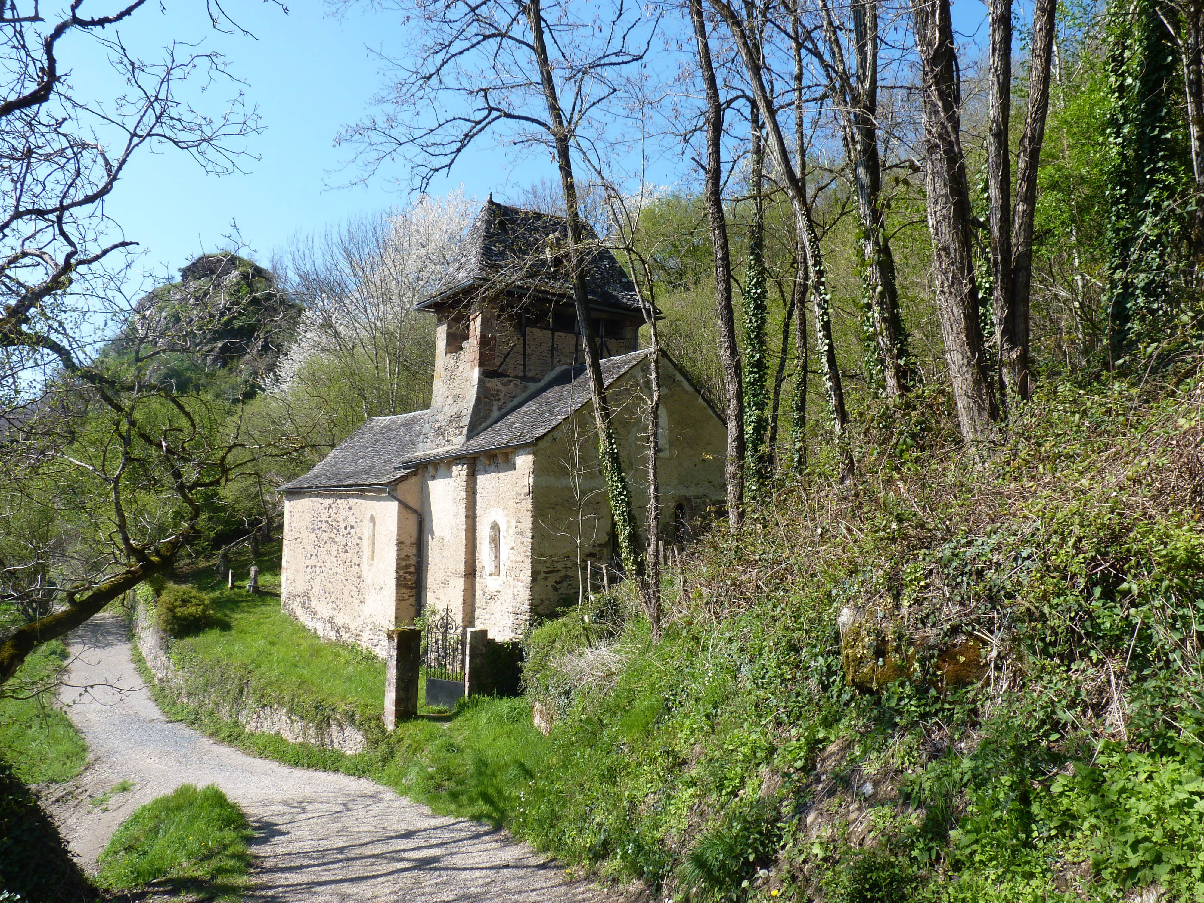
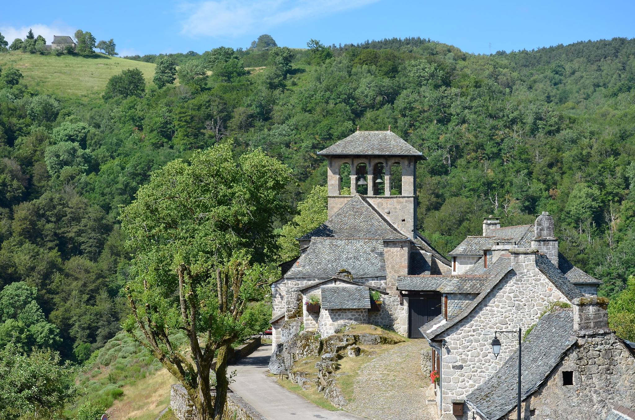
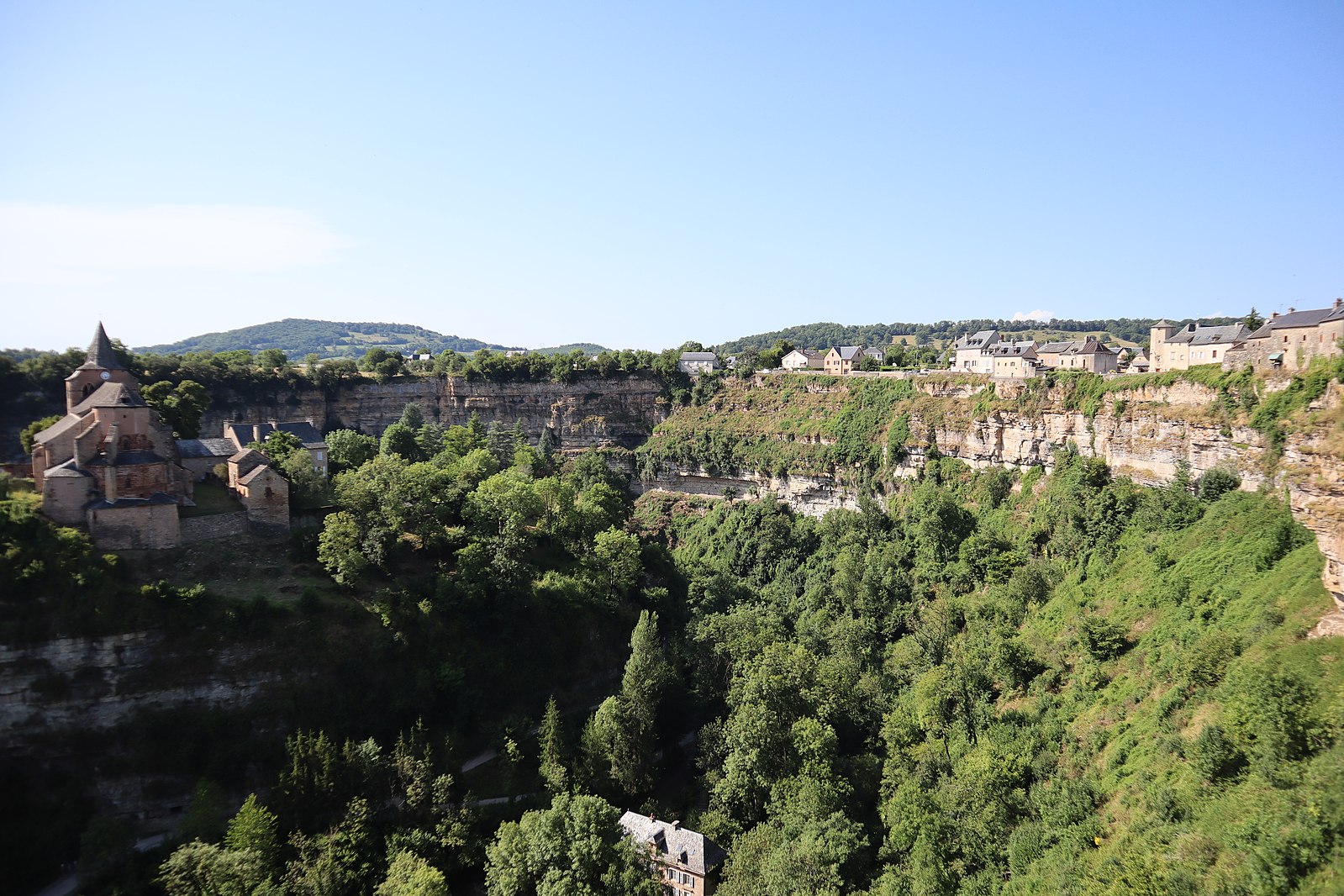
In the heart of the village of Bozouls, stroll in a spectacular cirque, whose cliffs are up to 100 meters high. The path essentially runs along the Dourdou.

Already more than 200,000 users!
Uphill
227m
Highest point
563m
Downhill
227m
Lowest point
432m
Route type
Loop
Download the map on your smartphone to save battery and rest assured to always keep access to the route, even without signal.
Includes IGN France and Swisstopo.
2 ratings
Belle fin de randonnée botanique
Also enjoy:

Already more than 200,000 users!