Uphill
178m
Length
10km
Duration
3h
Elev gain
178m
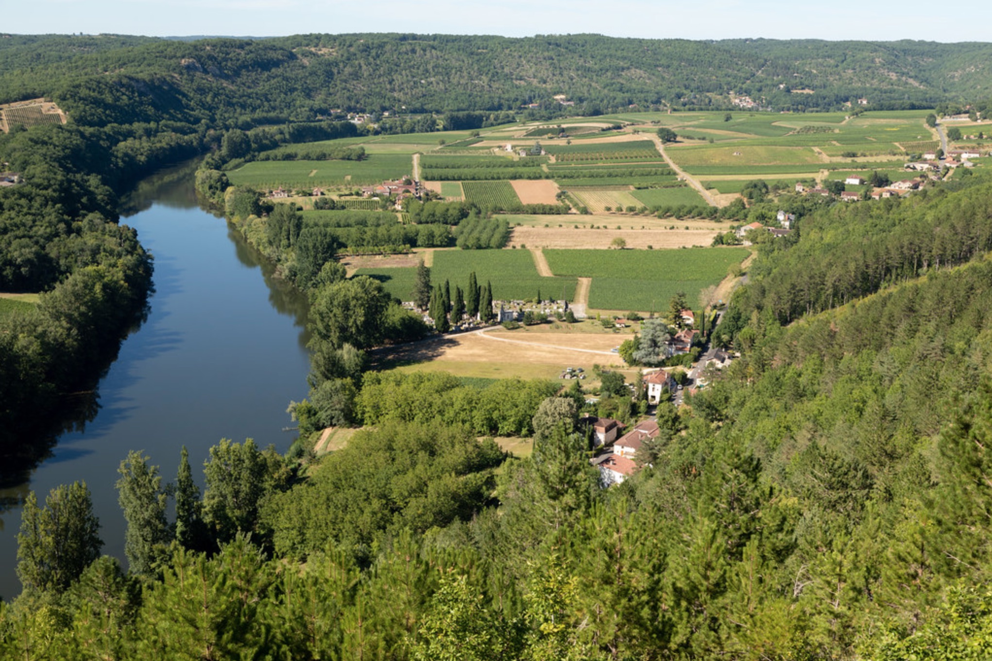
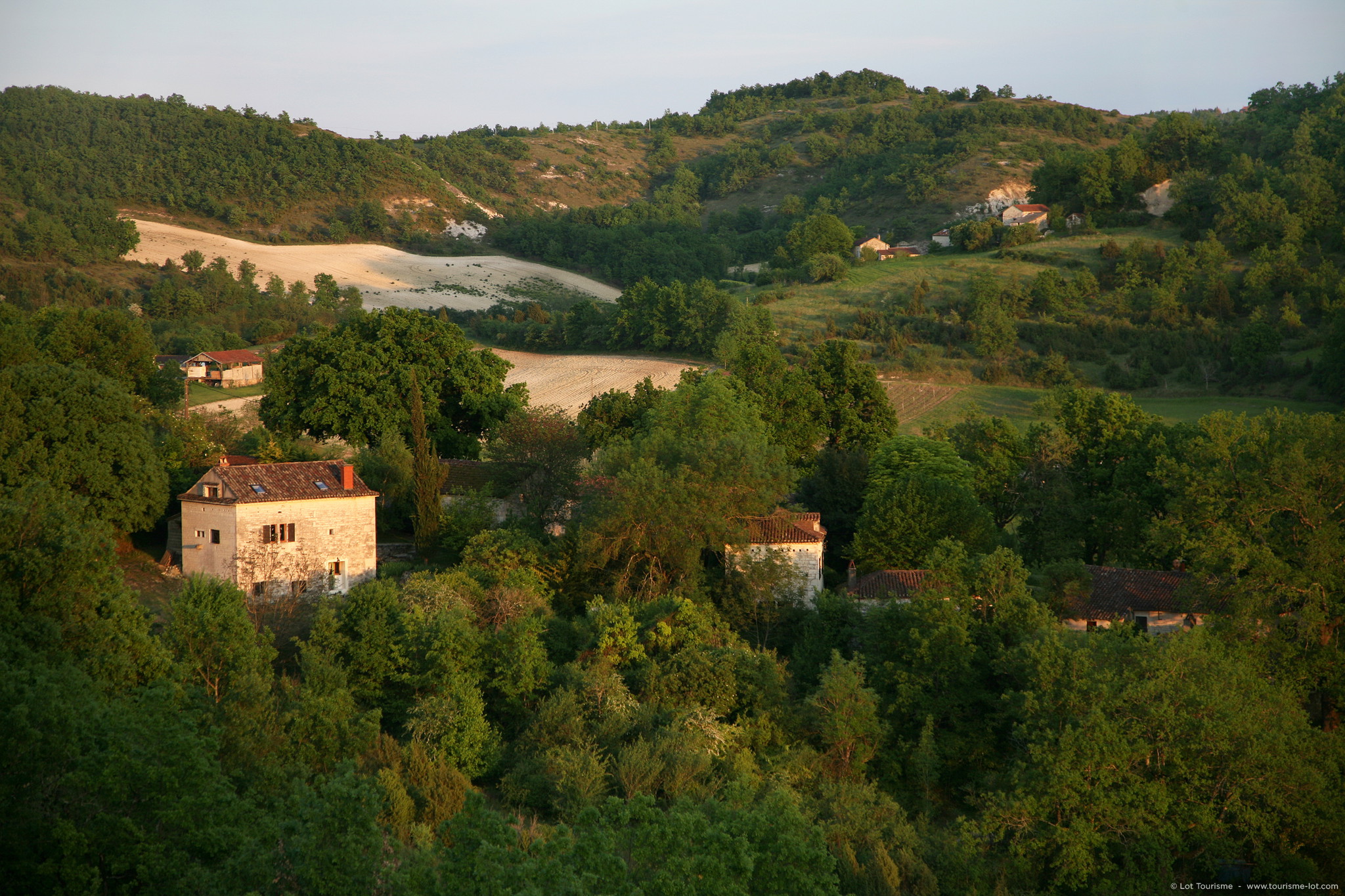
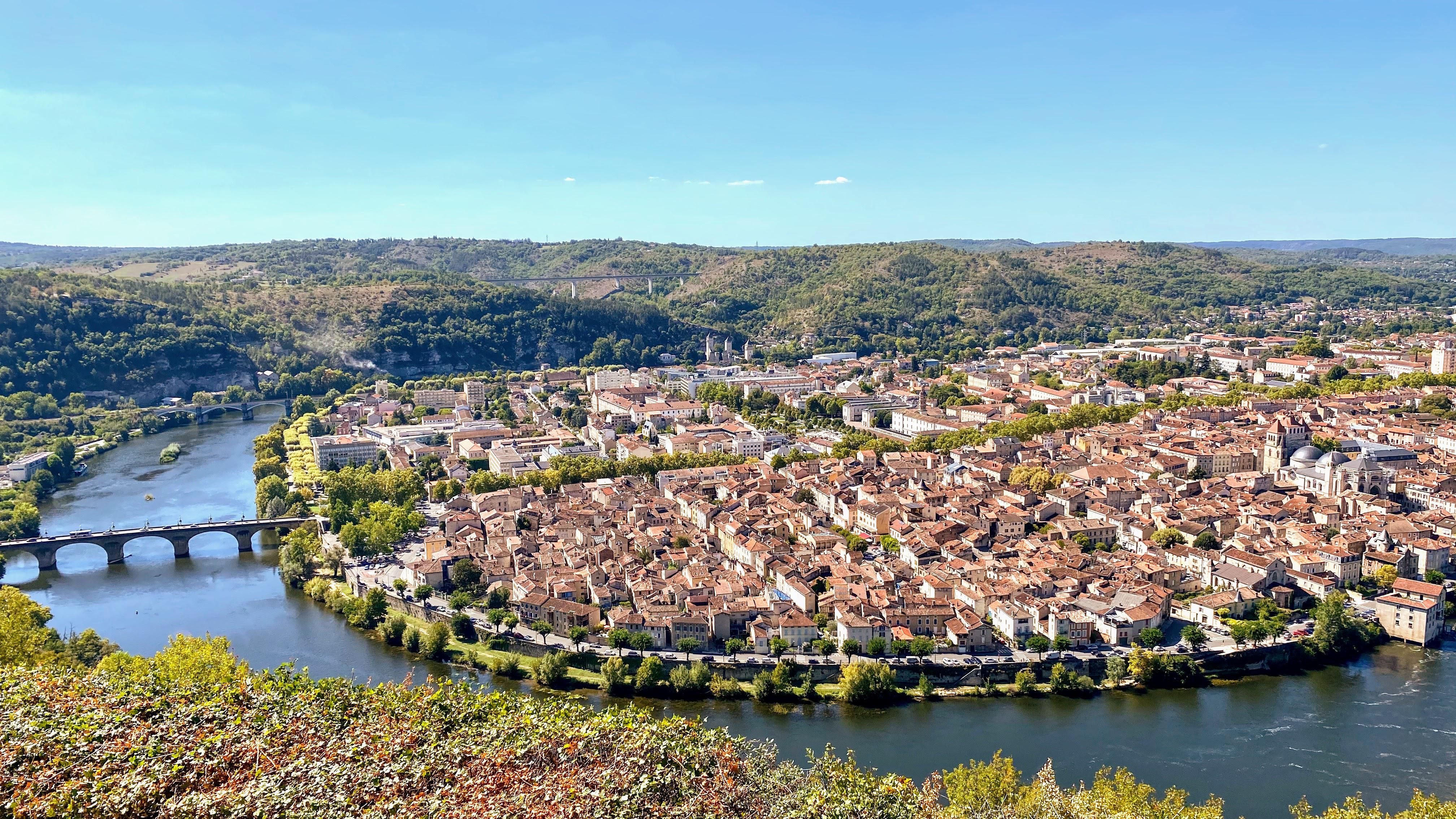
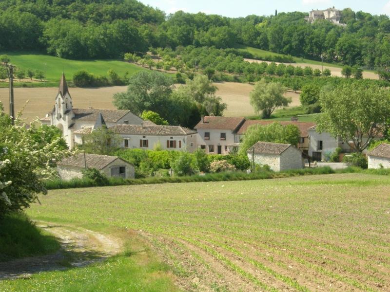
Departing from Bagat-en-Quercy, this hike explores the charming surrounding countryside. The path is bordered by small dry stone walls and pretty traditional stone huts, and offers some interesting panoramas.

Already more than 200,000 users!
Uphill
178m
Highest point
288m
Downhill
178m
Lowest point
178m
Route type
Loop
Download the map on your smartphone to save battery and rest assured to always keep access to the route, even without signal.
Includes IGN France and Swisstopo.
I indicate whether dogs are allowed or prohibited on this trail
All year
2 ratings
Agréable balade dans les sentiers du Quercy. De très jolis points de vue. Balade en 2h30 avec plusieurs pauses boisson, sans se presser.
Also enjoy:

Already more than 200,000 users!