Uphill
151m
Length
6km
Duration
2h
Elev gain
151m
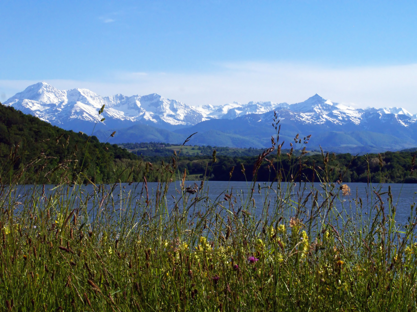
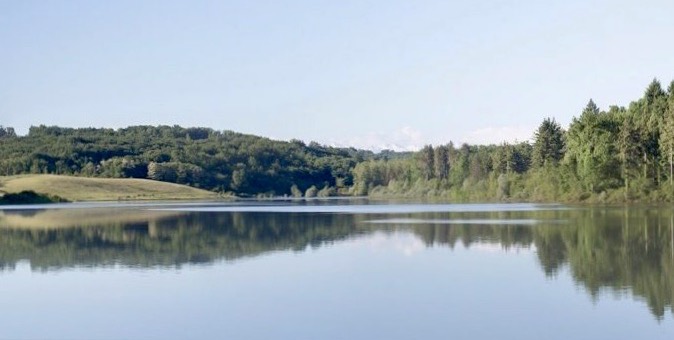
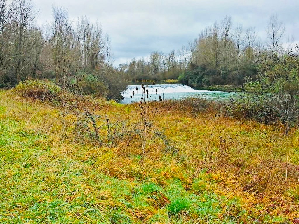
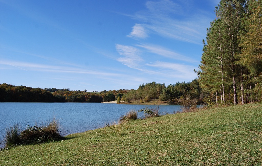
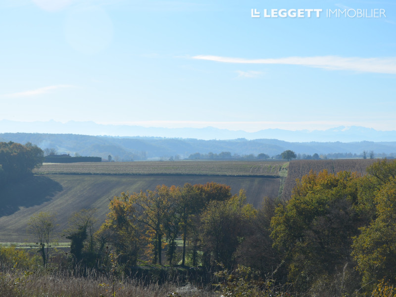
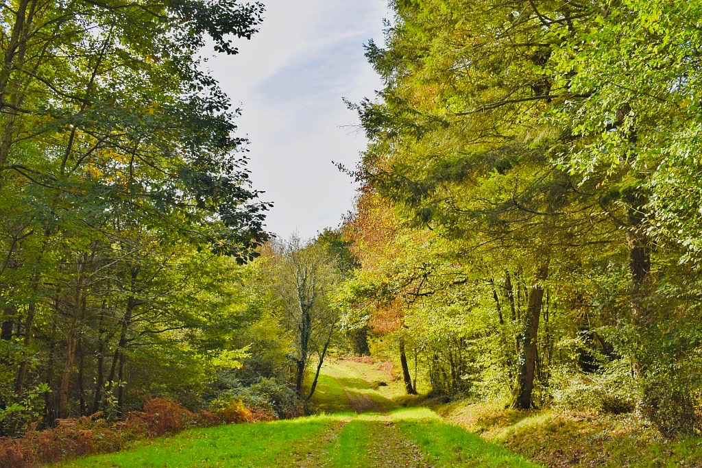
Fancy a quiet walk in the countryside? There it is. Starting from the hamlet of Betplan, this walk makes a nice loop in the Armagnac forest.

Already more than 200,000 users!
Uphill
151m
Highest point
311m
Downhill
151m
Lowest point
165m
Route type
Loop
Download the map on your smartphone to save battery and rest assured to always keep access to the route, even without signal.
Includes IGN France and Swisstopo.
I indicate whether dogs are allowed or prohibited on this trail
All year
1 rating
Also enjoy:

Already more than 200,000 users!