Uphill
115m
Length
5km
Duration
1h30min
Elev gain
115m
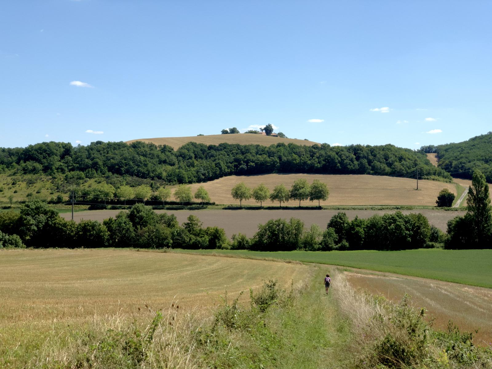
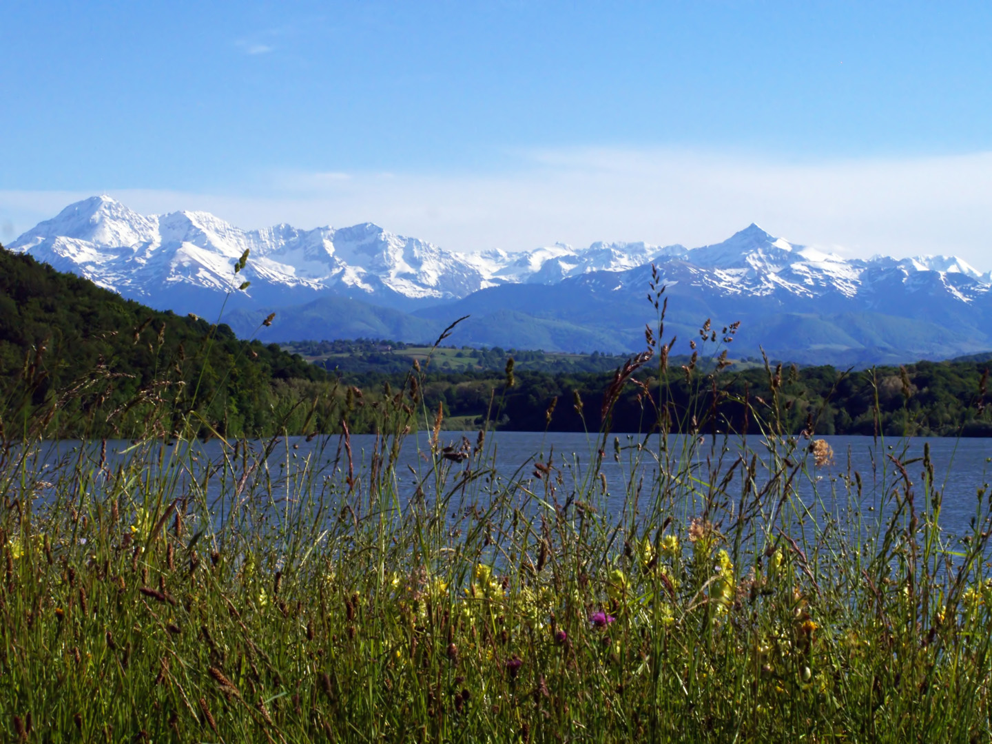
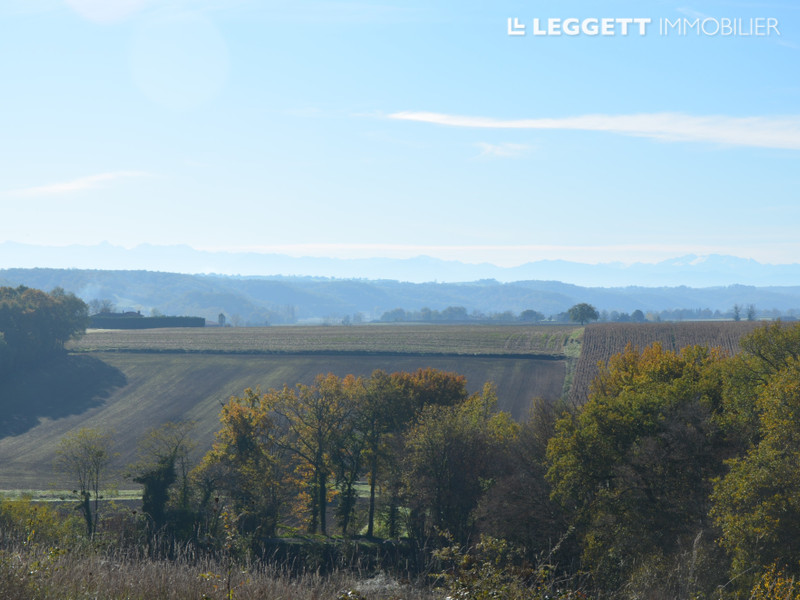
Here is a family-friendly walk that takes place near Clermont-Pouyguillès. The route quickly rushes into the Bois de Claran then goes around it before returning to the starting point.

Already more than 200,000 users!
Uphill
115m
Highest point
267m
Downhill
115m
Lowest point
173m
Route type
Loop
Download the map on your smartphone to save battery and rest assured to always keep access to the route, even without signal.
Includes IGN France and Swisstopo.
I indicate whether dogs are allowed or prohibited on this trail
All year
0 ratings
Also enjoy:

Already more than 200,000 users!