Uphill
213m
Length
13km
Duration
3h30min
Elev gain
213m
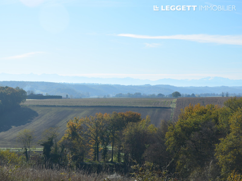
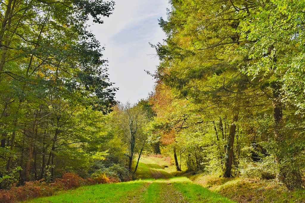
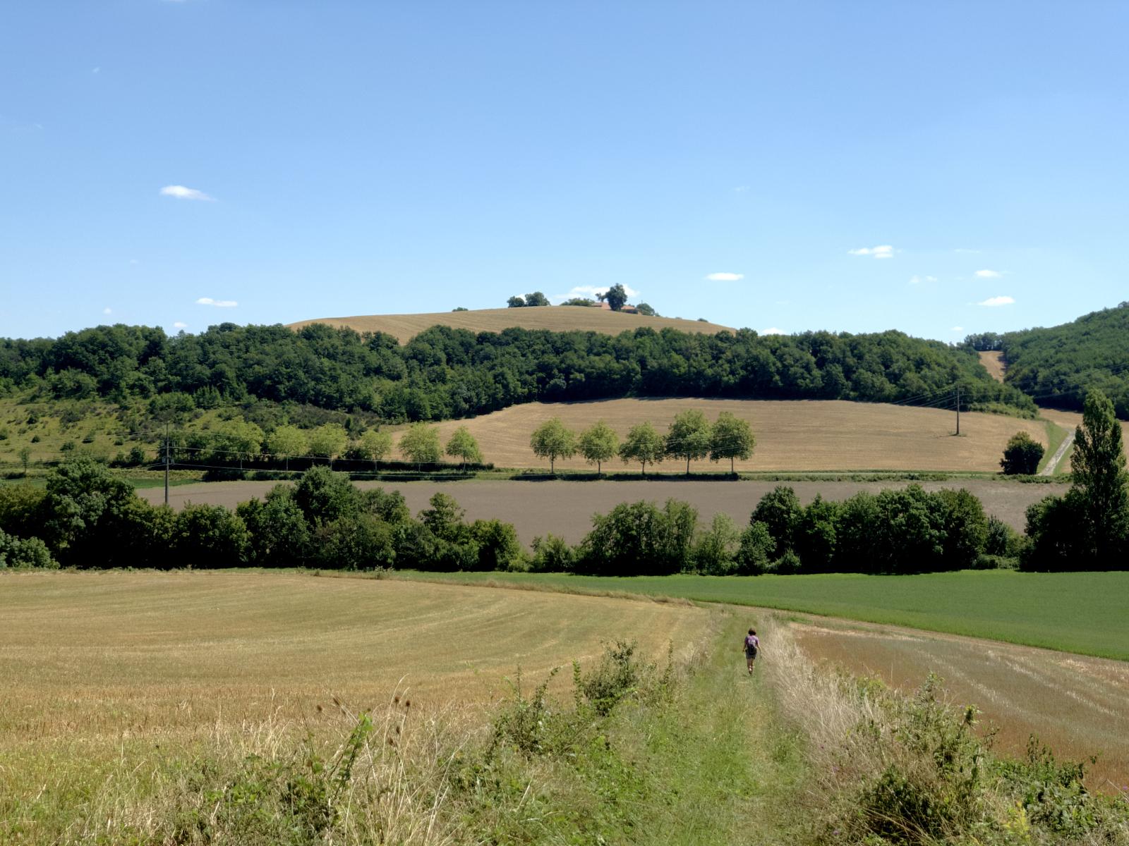
Hilly hike in the countryside, offering lovely views over the slopes of the Gers and the Pyrenees in the distance.

Already more than 200,000 users!
Uphill
213m
Highest point
285m
Downhill
213m
Lowest point
182m
Route type
Loop
Download the map on your smartphone to save battery and rest assured to always keep access to the route, even without signal.
Includes IGN France and Swisstopo.
I indicate whether dogs are allowed or prohibited on this trail
All year
0 ratings
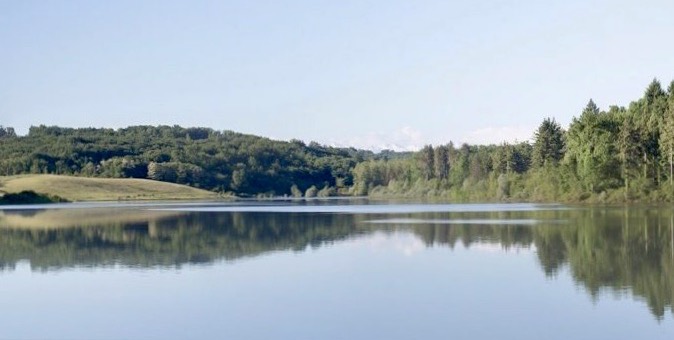
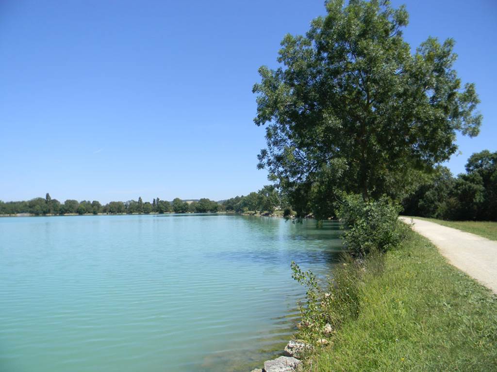
Also enjoy:

Already more than 200,000 users!