Uphill
13m
Length
2km
Duration
30min
Elev gain
13m
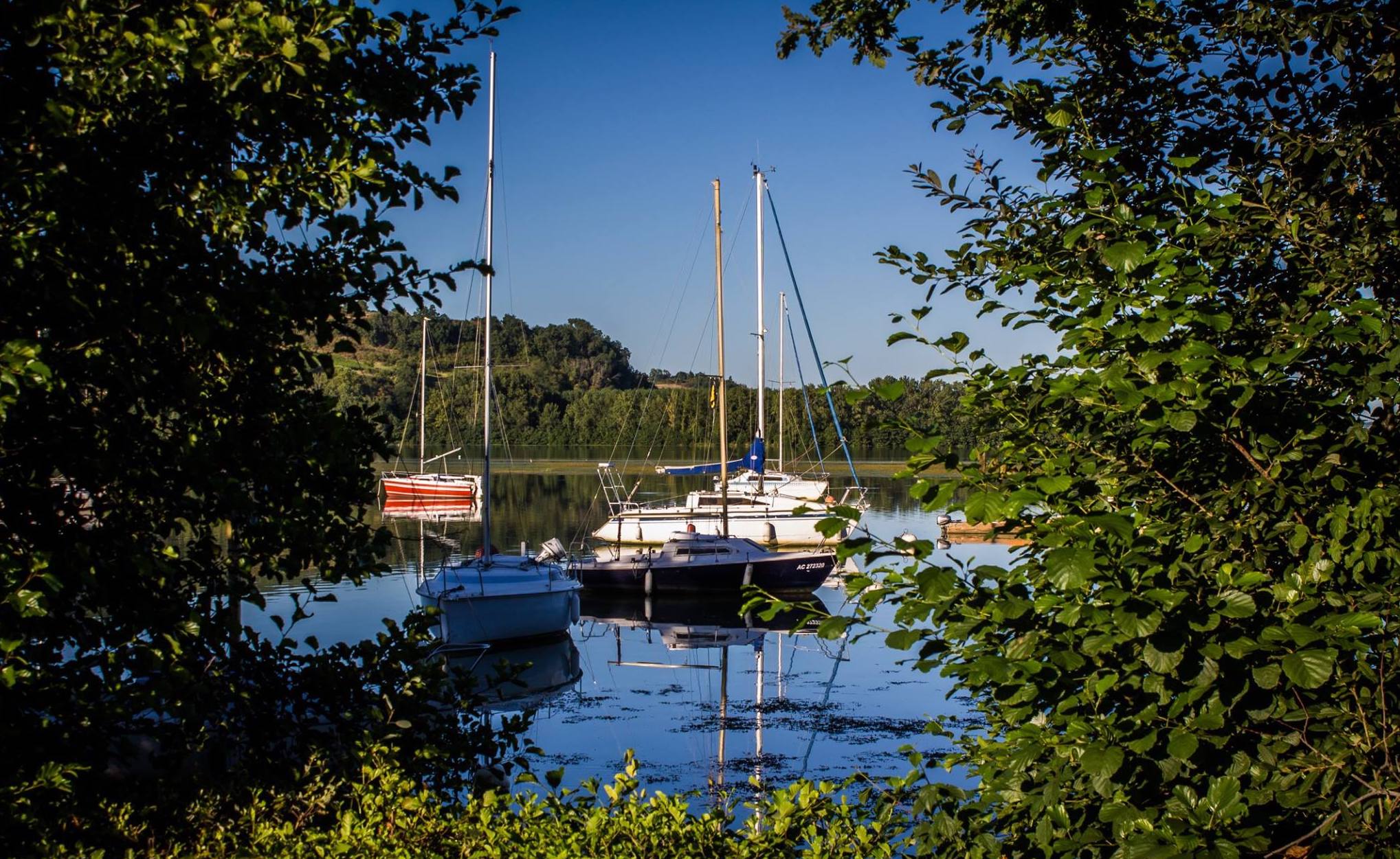
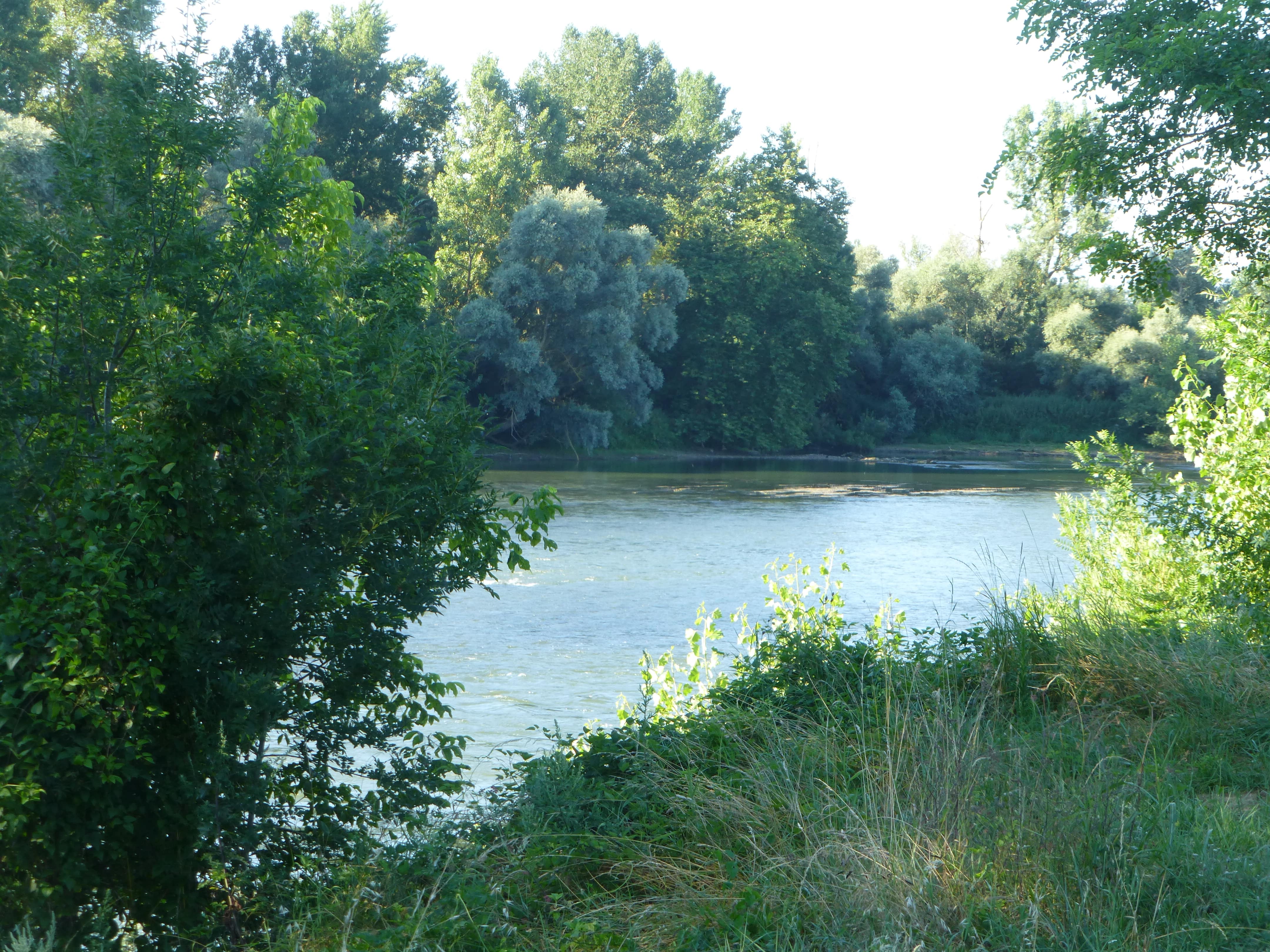
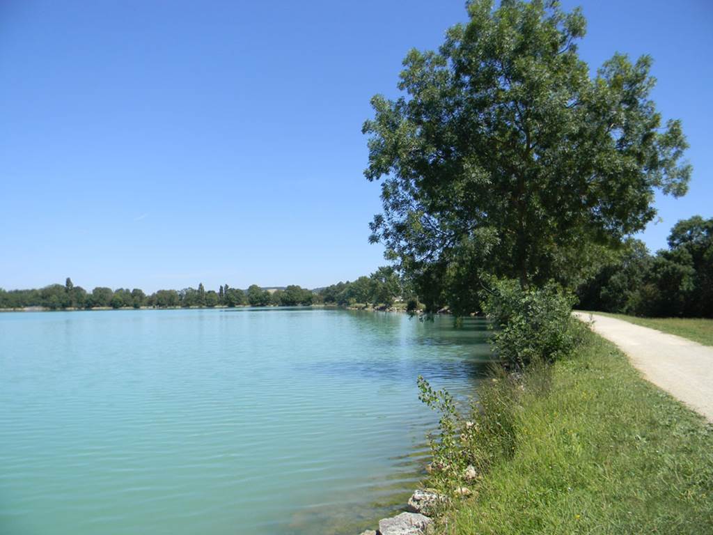
Family walk and around the pretty lake of Lomagnol. The course goes around the body of water and offers children the opportunity to take a short break at the playground which is located at the edge of the path.

Already more than 200,000 users!
Uphill
13m
Highest point
106m
Downhill
13m
Lowest point
91m
Route type
Loop
Download the map on your smartphone to save battery and rest assured to always keep access to the route, even without signal.
Includes IGN France and Swisstopo.
I indicate whether dogs are allowed or prohibited on this trail
All year
0 ratings
Also enjoy:

Already more than 200,000 users!