Uphill
64m
Length
16km
Duration
4h
Elev gain
64m
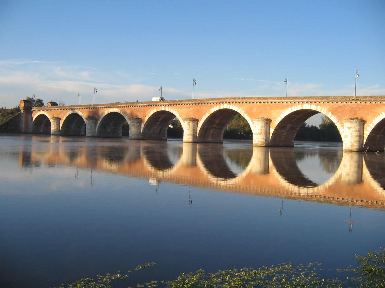
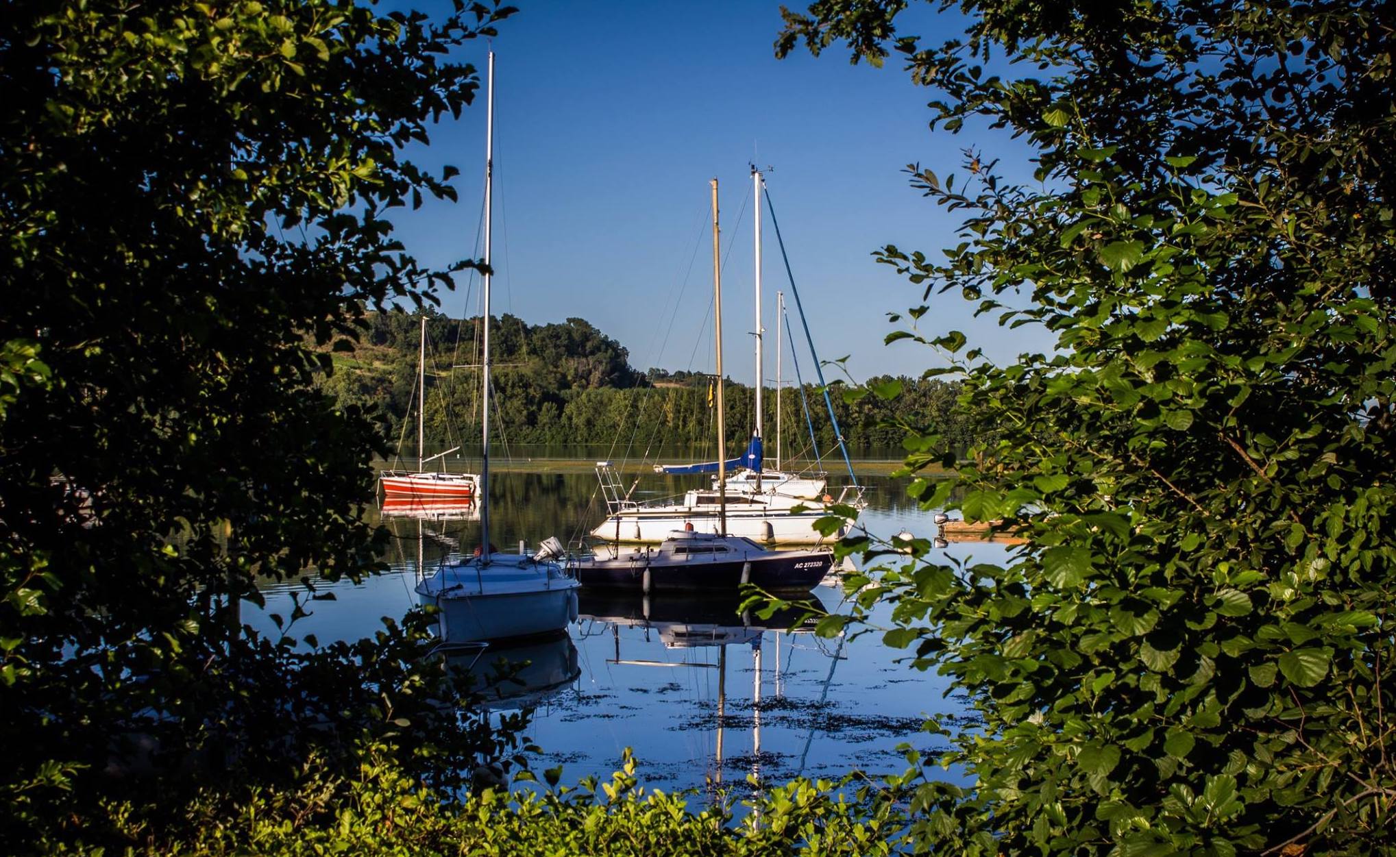
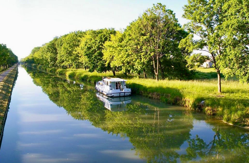
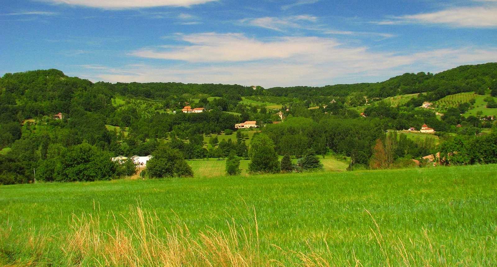
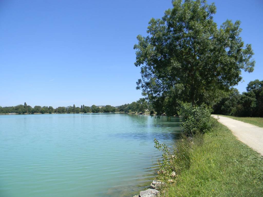
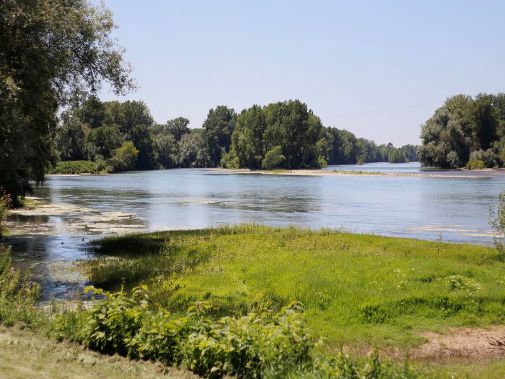
Leaving from Moissac, this walk runs along two rivers, the Tarn and the Garonne, and even joins their confluence. A nice trail in a pleasant and peaceful setting.

Already more than 200,000 users!
Uphill
64m
Highest point
85m
Downhill
64m
Lowest point
58m
Route type
There and back
Download the map on your smartphone to save battery and rest assured to always keep access to the route, even without signal.
Includes IGN France and Swisstopo.
I indicate whether dogs are allowed or prohibited on this trail
All year
0 ratings
Also enjoy:

Already more than 200,000 users!