Uphill
113m
Length
5km
Duration
1h30min
Elev gain
113m
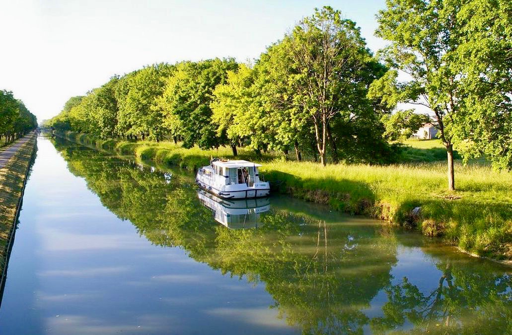
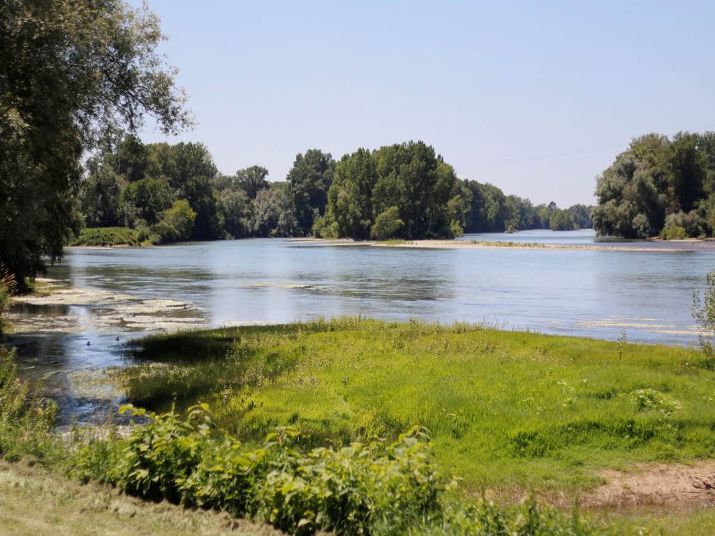
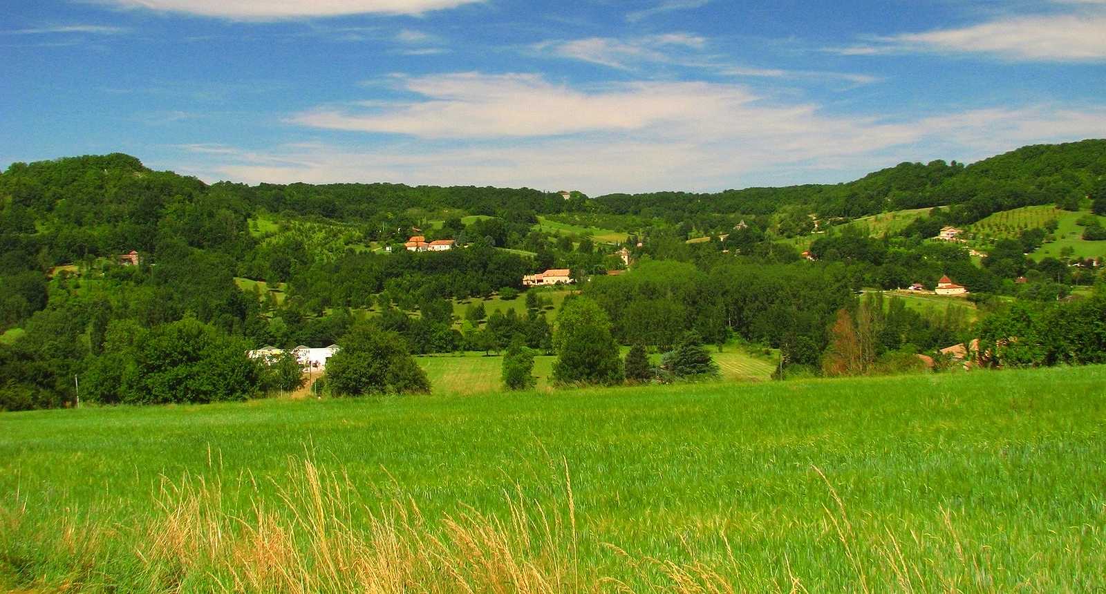
Pretty little loop in the middle of the fields starting from Perville. The trail can be muddy and slippery in winter, so it is best to be careful.

Already more than 200,000 users!
Uphill
113m
Highest point
191m
Downhill
113m
Lowest point
71m
Route type
Loop
Download the map on your smartphone to save battery and rest assured to always keep access to the route, even without signal.
Includes IGN France and Swisstopo.
I indicate whether dogs are allowed or prohibited on this trail
All year
1 rating
Also enjoy:

Already more than 200,000 users!