Uphill
21m
Length
3km
Duration
1h
Elev gain
21m
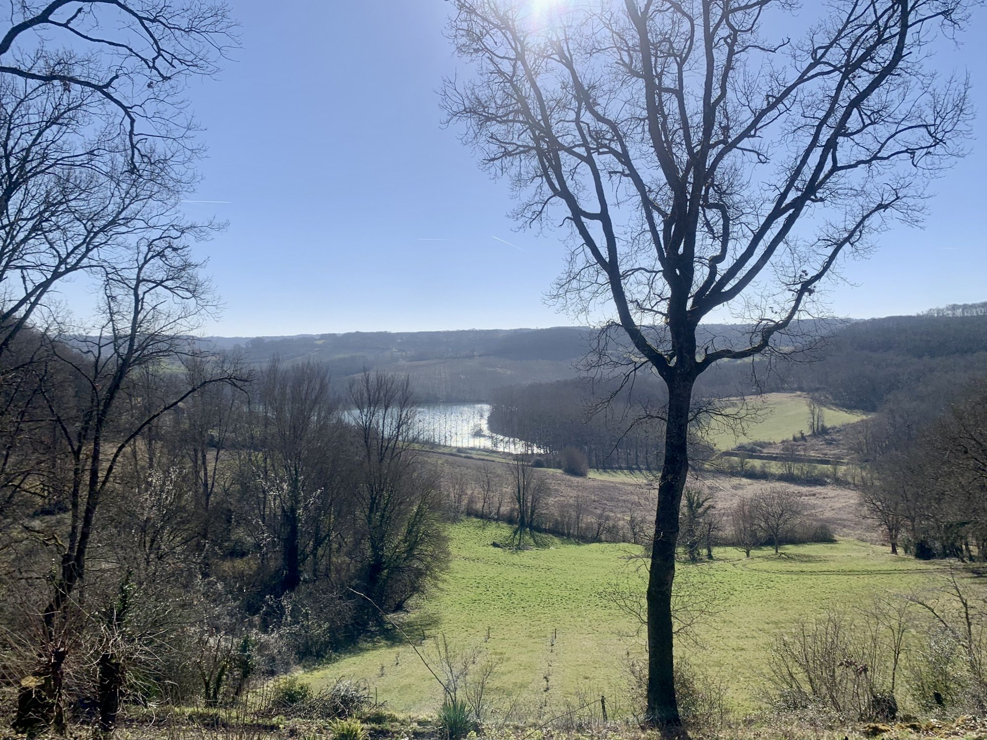
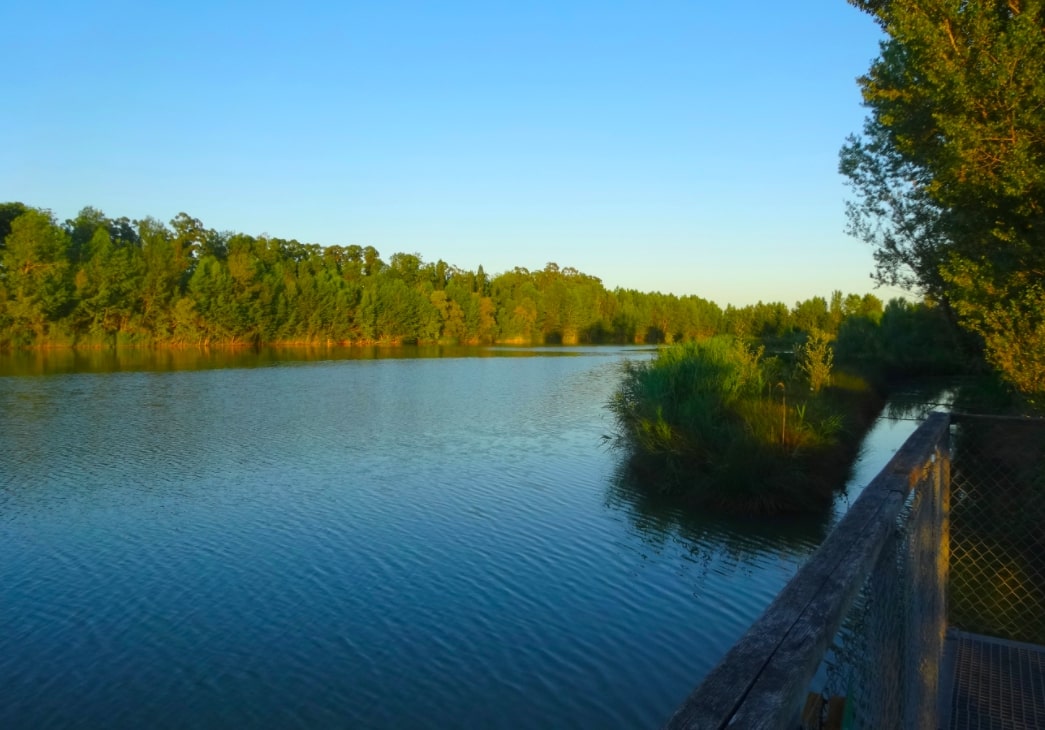
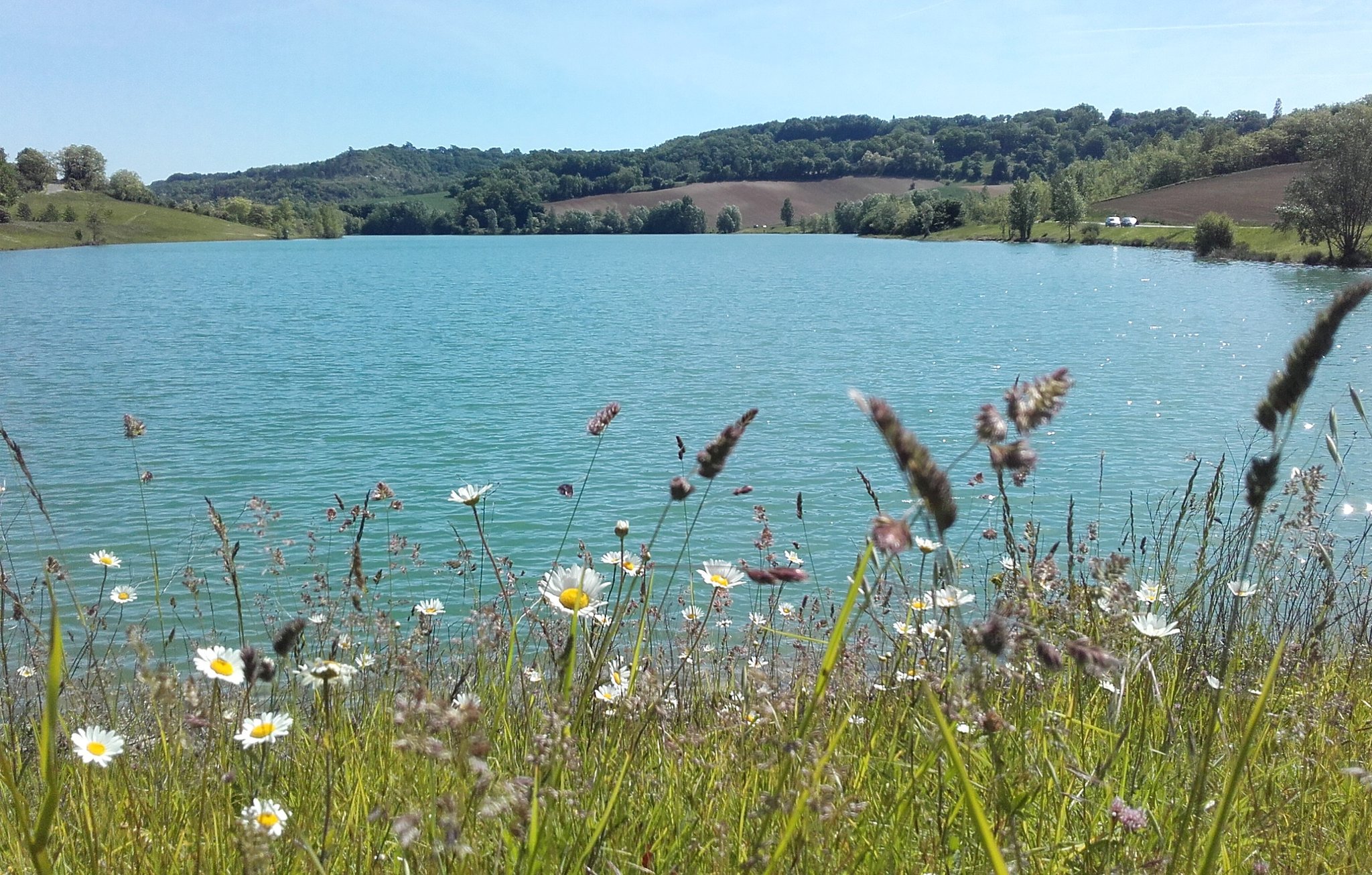
Stroll around the pretty Lac de Bajamont, which is particularly popular for fishing.
Note that the route takes a road on the south shore of the lake, while the north shore is embellished with a path.

Already more than 200,000 users!
Uphill
21m
Highest point
110m
Downhill
21m
Lowest point
83m
Route type
Loop
Download the map on your smartphone to save battery and rest assured to always keep access to the route, even without signal.
Includes IGN France and Swisstopo.
I indicate whether dogs are allowed or prohibited on this trail
All year
0 ratings
Also enjoy:

Already more than 200,000 users!