Uphill
156m
Length
7km
Duration
2h
Elev gain
156m
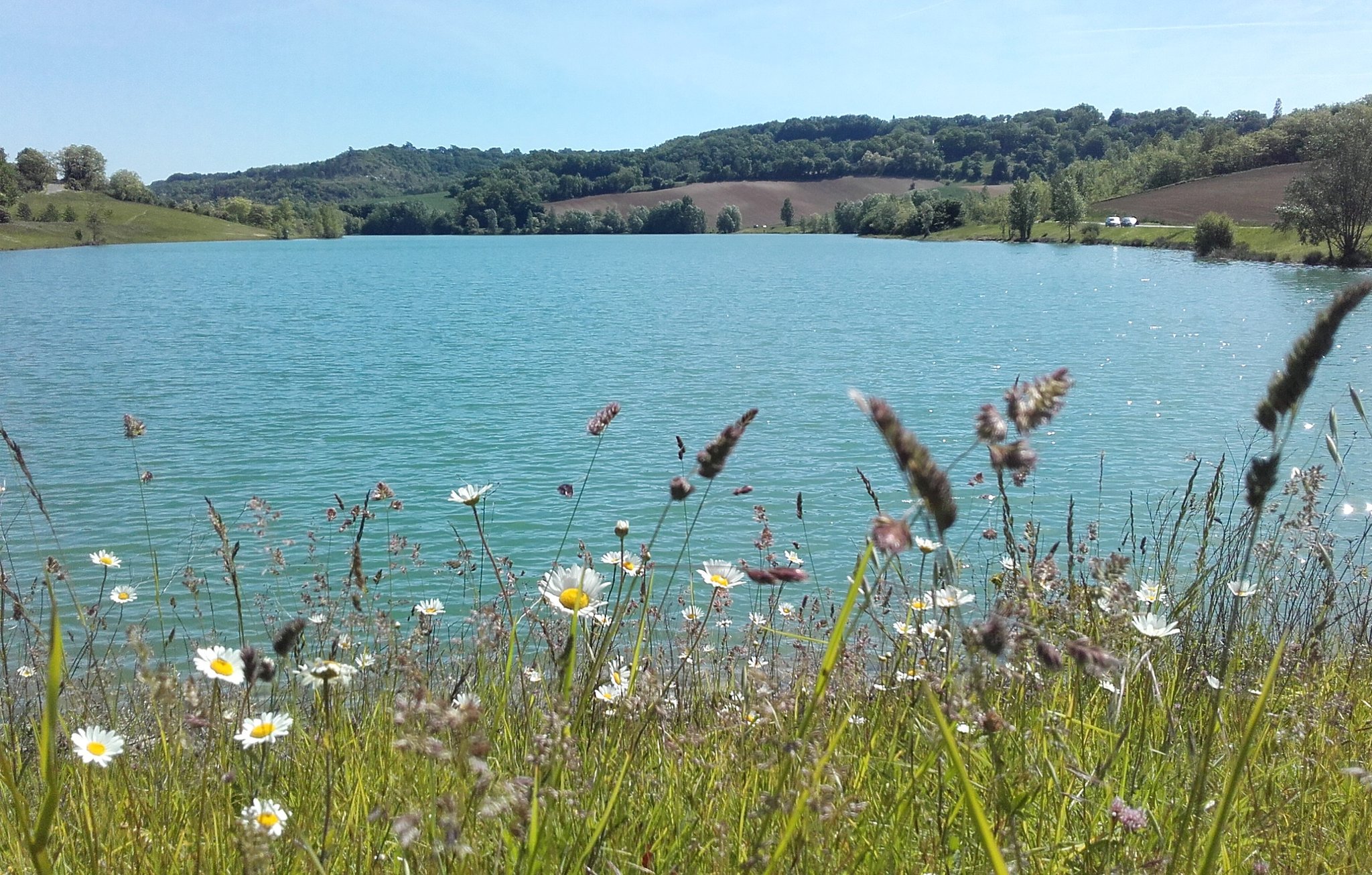
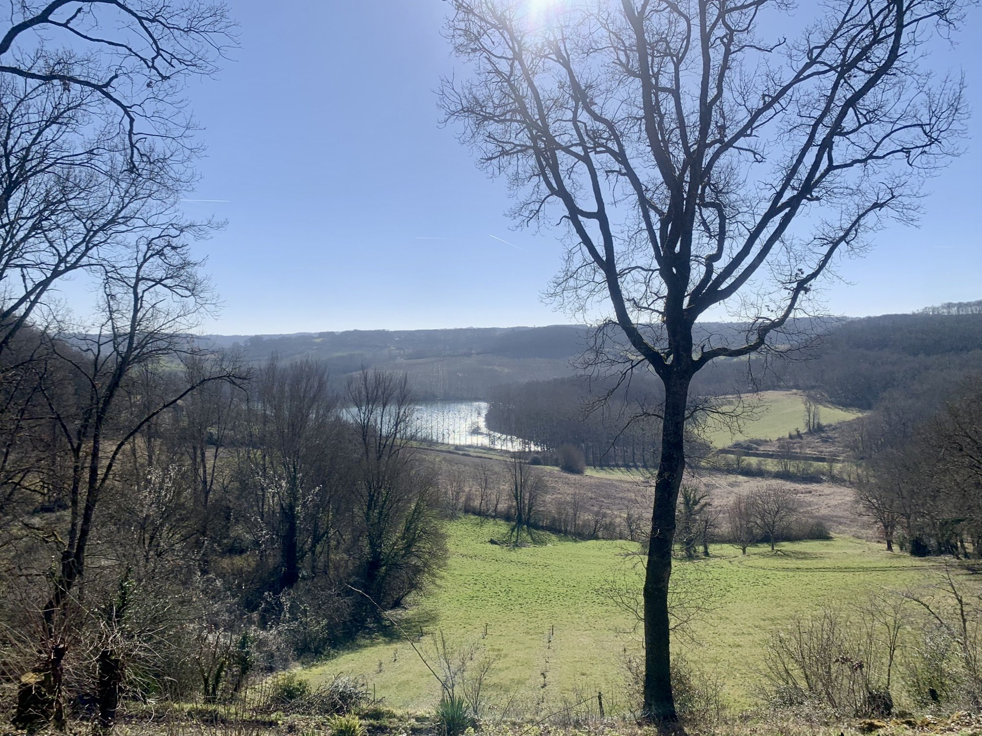
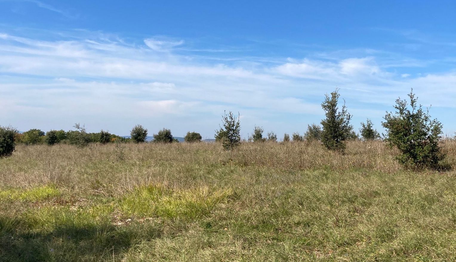
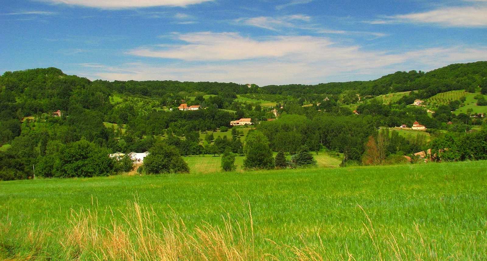
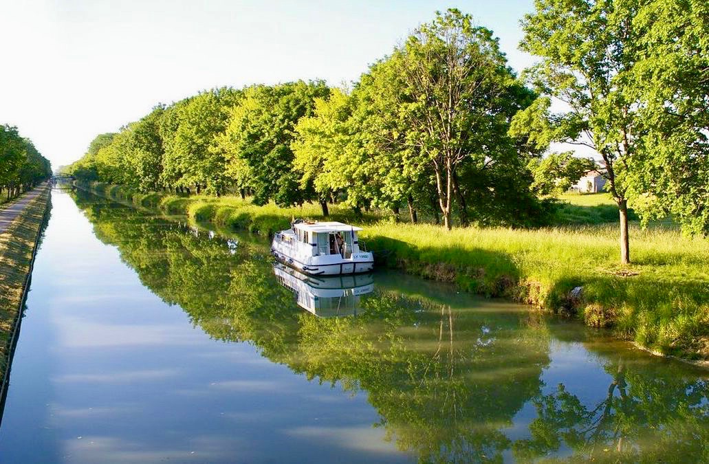
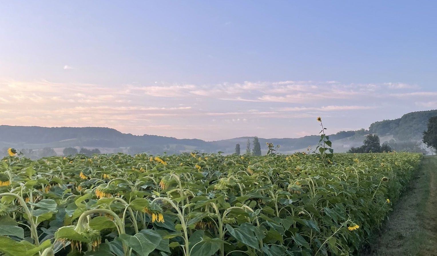
It is near the church of Magnac that this hike begins. The course makes a loop between fields and forest, and offers pretty views of the surroundings. A good breath of fresh air in perspective.

Already more than 200,000 users!
Uphill
156m
Highest point
220m
Downhill
156m
Lowest point
65m
Route type
Loop
Download the map on your smartphone to save battery and rest assured to always keep access to the route, even without signal.
Includes IGN France and Swisstopo.
I indicate whether dogs are allowed or prohibited on this trail
All year
0 ratings
Also enjoy:

Already more than 200,000 users!